Back to the librarykm 12–13
GravelRouteCasterRound trip
Rondje Othaler Wald en Ziegelrodaer Forst
Distance
55 km
Ascent
528 m
Highest point
332 m
15% paved
Start from your location
Ride there from home: we find the shortest way to the loop and start the loop from there.
The ride
Roll out from Parkeerplaats Eislebener Stiftsholz and let the route unfold. You pass through the Othaler Wald nature reserve, then on into the Ziegelrodaer Forst forest. It's 54.7 km with 528 m of climbing, and the surface is mostly unpaved. Back where you started, the loop closes.
Climbs
Climb 1Hill
1.2 km at 3.7% · max 6.3%
Routes nearby
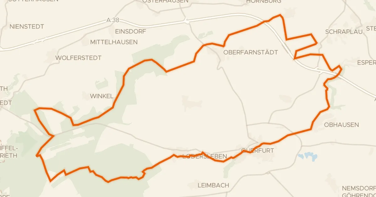
Gravel23% paved
Rondje Burg Querfurt en Wasserburg Oberfarnstädt
57 km↑ 507 m9 km away

Road bike100% paved
Rondje langs de Burg Bornstedt en Burg Freckleben
95 km↑ 971 m14 km away
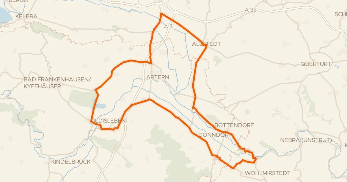
Road bike97% paved
Rondje Wendelstein en Helme
80 km↑ 282 m21 km away
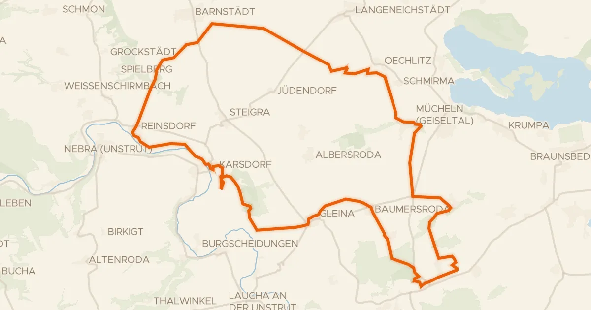
Gravel40% paved
Rondje Neue Göhle en Unstrut
59 km↑ 394 m26 km away

Gravel22% paved
Rondje Bockwindmühle Krosigk en Bismarckturm Halle
59 km↑ 523 m27 km away
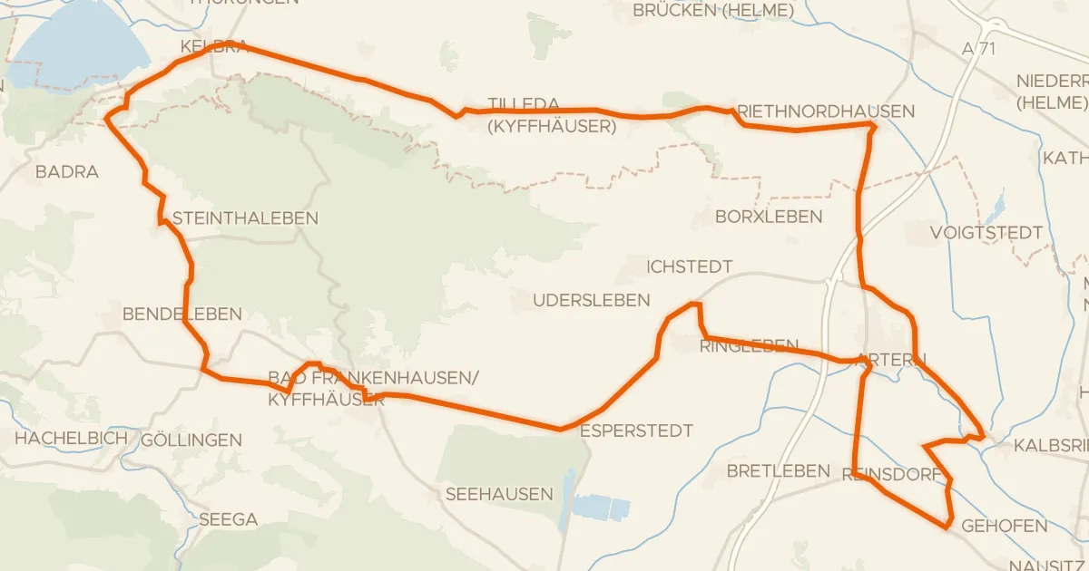
Road bike96% paved
Rondje Hackpfüffler See en Unstrut
71 km↑ 322 m28 km away