Back to the librarykm 2 · Aug 2019 · © ramap / Mapillary, CC BY-SA km 38 · Jul 2025 · © derlipper / Mapillary, CC BY-SA km 51 · Sep 2026 · © hotteliene / Mapillary, CC BY-SA km 74 · Sep 2026 · © hotteliene / Mapillary, CC BY-SA
Road bikeRouteCasterRound trip
Rondje Neudorfer Moor en Timmeler Meer
Distance
79 km
Ascent
72 m
Highest point
20 m
100% paved
Start from your location
Ride there from home: we find the shortest way to the loop and start the loop from there.
The ride
Roll out from Parkeerplaats Heseler Wald and let the kilometres tick by. You pass Timmeler Meer, then follow the Fehntjer Tief, before rolling through Neudorfer Moor and Stapeler Moor und Umgebung. With 79.1 km of paved surface and just 72 m of climbing, the legs stay happy. Back to where you started.
Along the way
Routes nearby
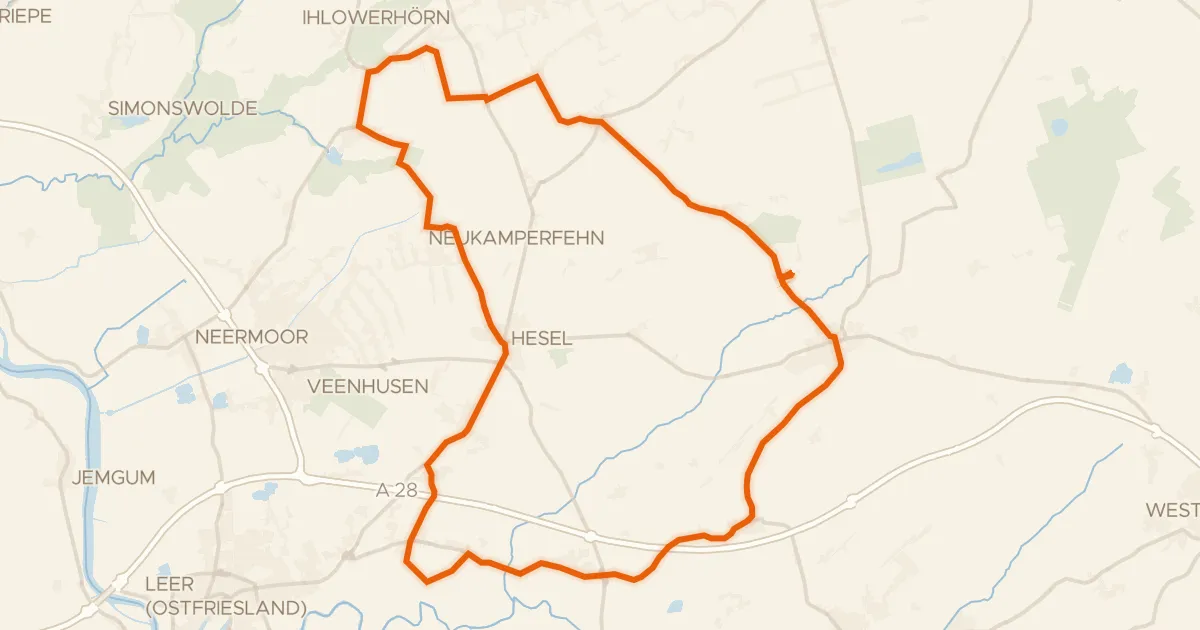
Gravel66% paved
Rondje Holle Sand en Hilgenmeer
63 km↑ 113 m1 km away
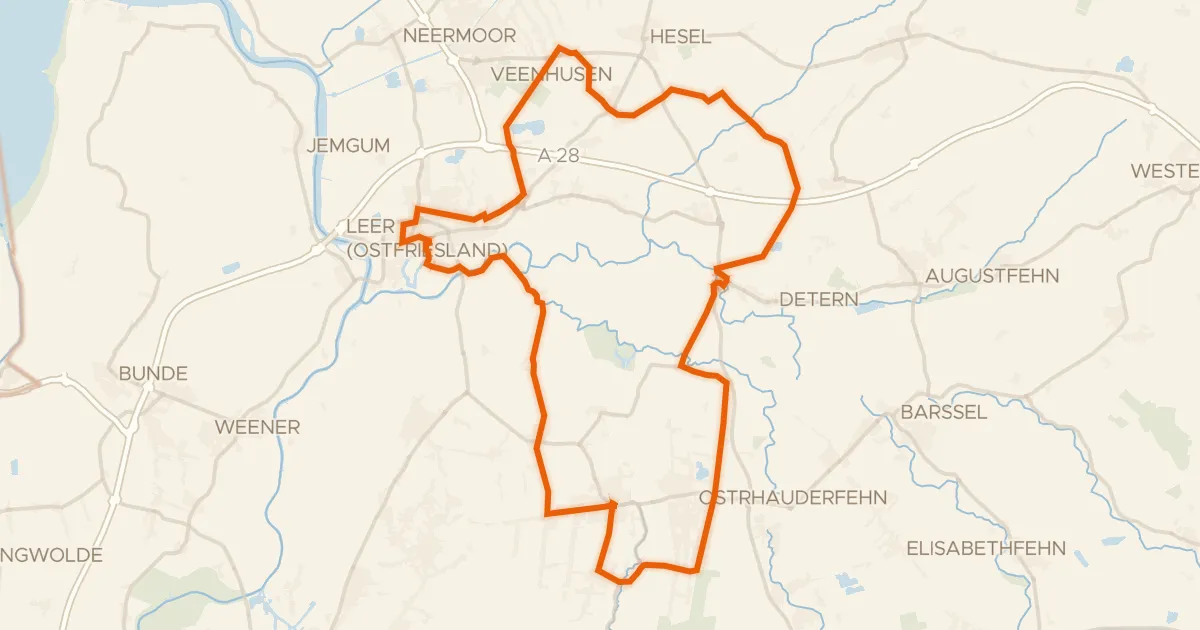
Road bike97% paved
Rondje Burg Stickhausen en Esterweger Dose
77 km↑ 94 m12 km away
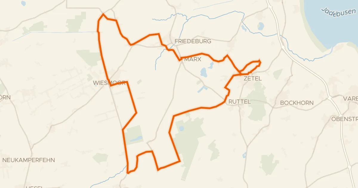
Road bike99% paved
Rondje Neudorfer Moor en Stapeler Moor und Umgebung
78 km↑ 86 m19 km away
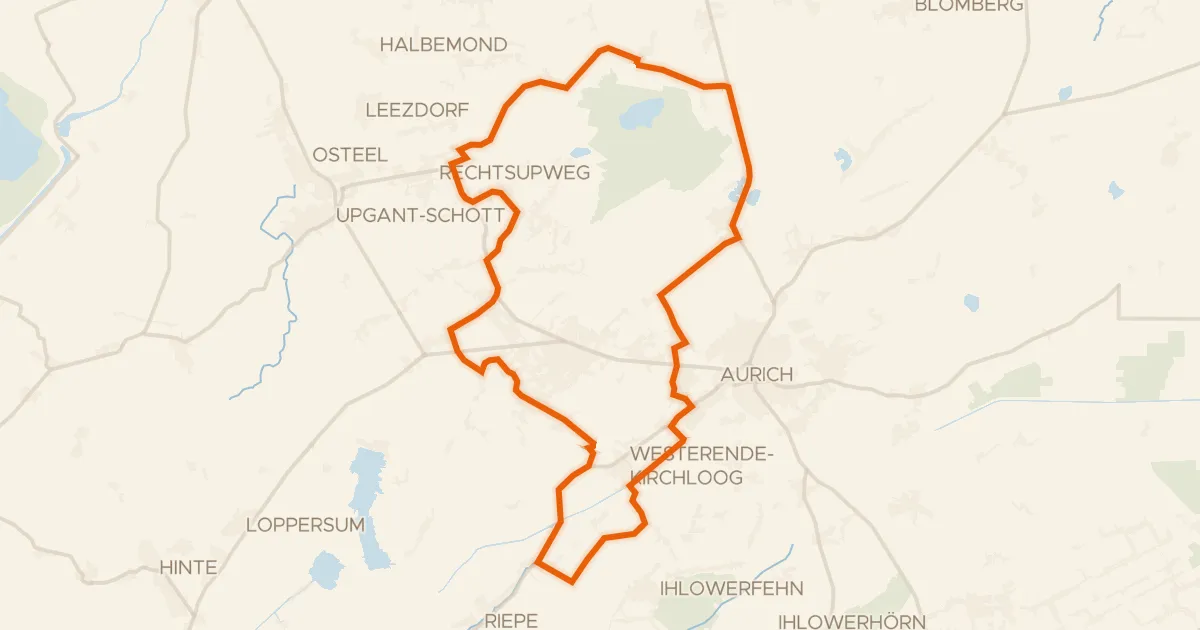
Gravel71% paved
Rondje Haxtumer Mühle en Ems-Jade-Kanal
59 km↑ 64 m24 km away
Road bike95% paved
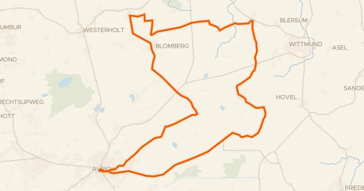
Rondje Auricher Schloss en Wittmunder Wald
75 km↑ 134 m25 km away
Gravel67% paved
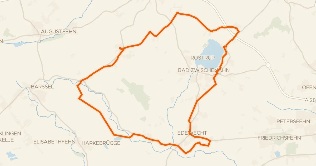
Rondje Rügenwalder Mühle en Zwischenahner Meer
59 km↑ 124 m26 km away