Back to the librarykm 18–19km 20–20km 20–22km 23–23km 24–25km 37–39km 40–41km 41–43km 61–62
GravelMade by RouteCasterRound trip
Rondje Naturpark Raab en de Raab
Distance
67 km
Ascent
952 m
Highest point
402 m
34% paved
Start from your location
Ride there from home: we find the shortest way to the loop and start the loop from there.
The ride
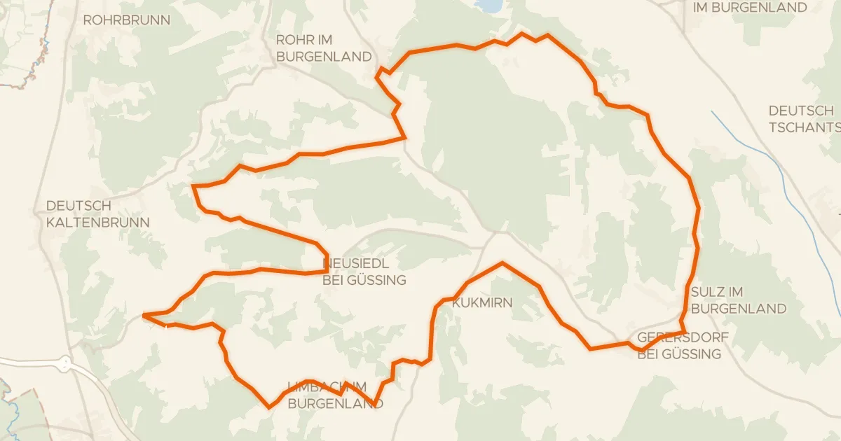
Roll out of Jennersdorf and let the route carry you through the Naturpark Raab nature reserve before the Raab river joins the ride. Of the 66.6 km, most runs unpaved, with 952 m of climbing to keep the legs honest. The loop brings you back to Jennersdorf where you started.
Climbs
Climb 1Hill
0.8 km at 7.5% · max 12.3%
Climb 2Hill
0.3 km at 16% · max 19.3%
Climb 3Cat. 4
1.8 km at 4.7% · max 16.9%
Climb 4Hill
0.1 km at 25.4% · max 25.4%
Climb 5Cat. 4
1.2 km at 9.3% · max 19.2%
Climb 6Cat. 4
2.9 km at 3.3% · max 13.6%
Climb 7Hill
0.6 km at 6.9% · max 22.9%
Climb 8Cat. 4
1.5 km at 6.8% · max 14.9%
Climb 9Hill
0.7 km at 4.8% · max 17.8%
Routes nearby
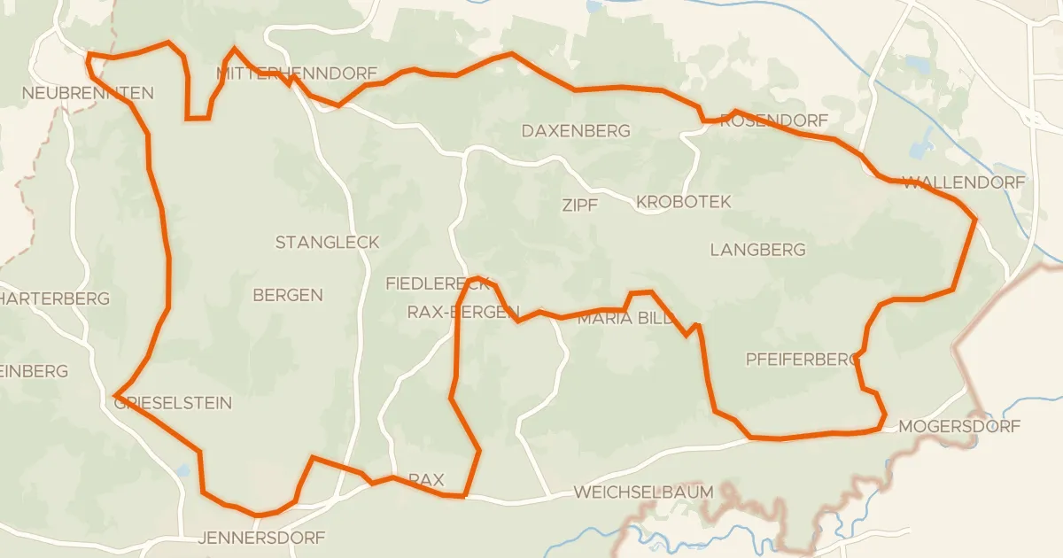
Road bike100% paved
Thermen-Radweg
35 km↑ 492 m4 km away
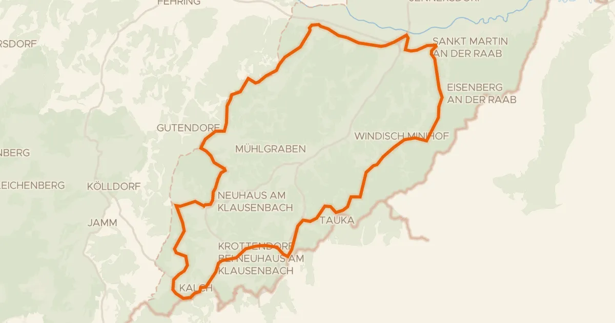
Road bike100% paved
Raabtal und Neuhauser Hügelland
41 km↑ 654 m8 km away
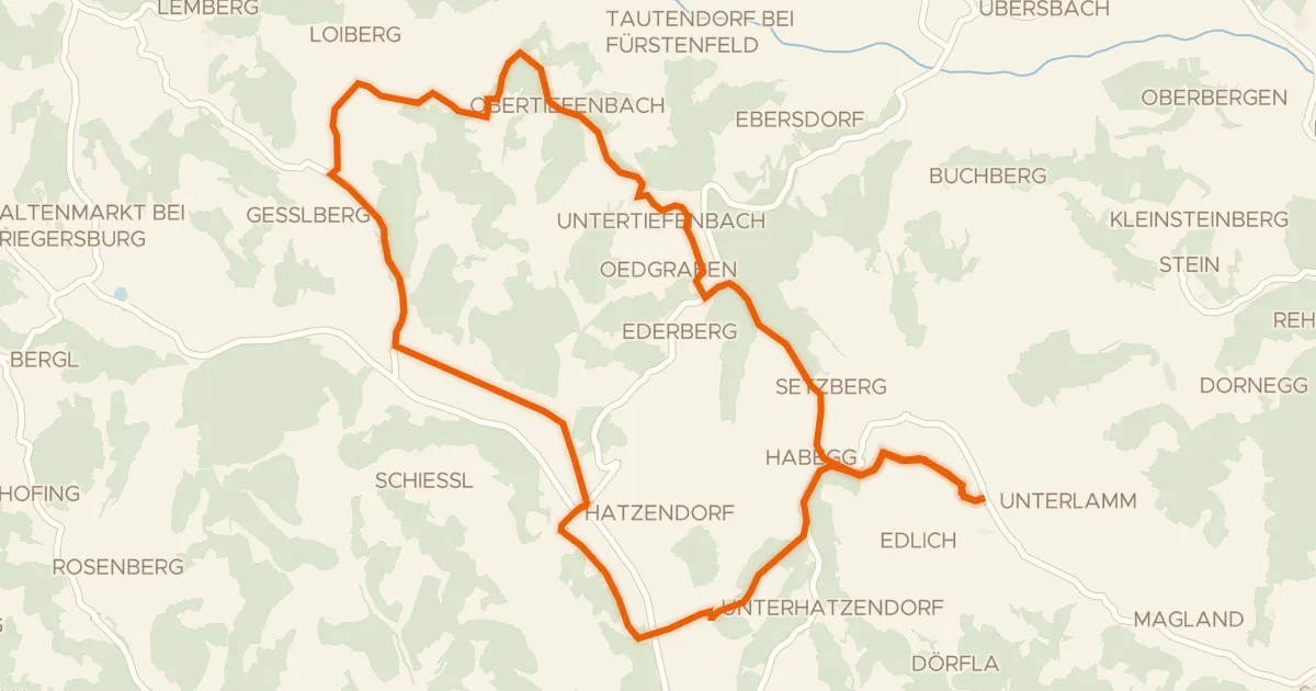
Road bike100% paved
Panoramatour
24 km↑ 431 m12 km away

Road bike99% paved
Rondje Schloss Kornberg en Feistritz
98 km↑ 1,127 m13 km away
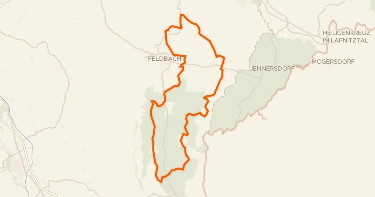
Road bike100% paved
Riesentour
98 km↑ 1,556 m15 km away
Road bike100% paved
Apfelradweg
41 km↑ 613 m18 km away