Back to the librarykm 11–13km 26–28km 33–35km 46–47km 65–66km 66–68
Road bikeRound trip
Riesentour
Distance
98 km
Ascent
1,556 m
Highest point
529 m
100% paved
Start from your location
Ride there from home: we find the shortest way to the loop and start the loop from there.
The ride
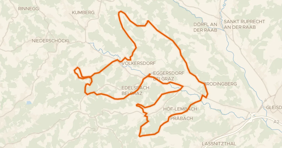
Here's a 97.9 km ride that's fully paved, with 1556 m of climbing along the way. Most of the route runs on tertiary and country roads, so the kilometres roll by on quiet tarmac. Just 4% follows protected cycleways, and none of it puts you on busy roads without a cycle path. It's a straightforward day out on paved surfaces from start to finish.
Climbs
Climb 1Cat. 4
2.2 km at 4.5% · max 16.9%
Climb 2Cat. 4
1.5 km at 6% · max 14.2%
Climb 3Cat. 4
1.8 km at 5.6% · max 17.8%
Climb 4Hill
1.4 km at 4.4% · max 11.5%
Climb 5Hill
1.1 km at 7% · max 12.2%
Climb 6Cat. 4
2.5 km at 6% · max 14.3%
Routes nearby
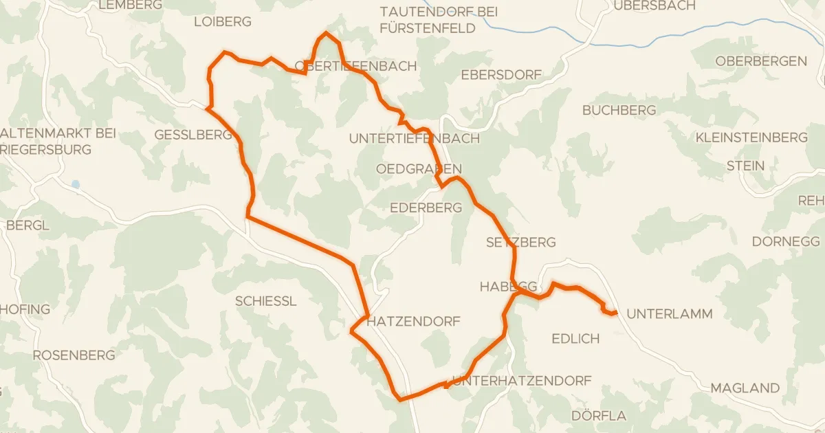
Road bike100% paved
Panoramatour
24 km↑ 431 m3 km away
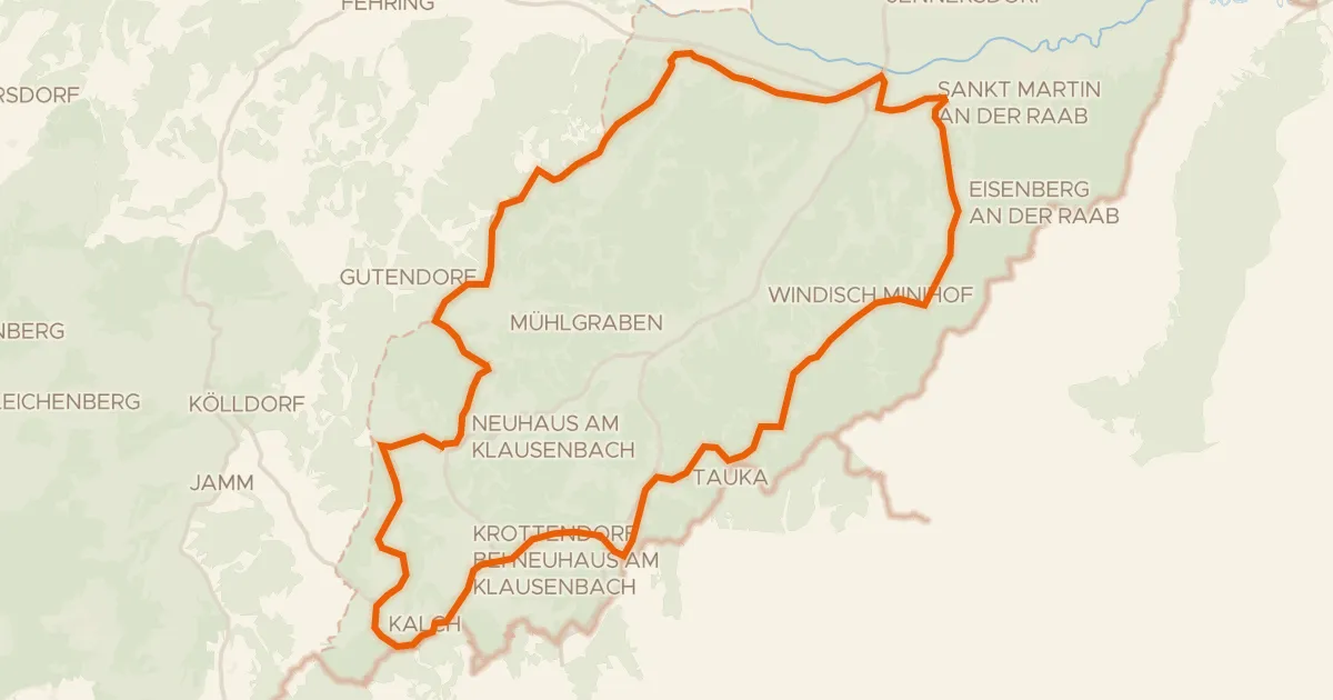
Road bike100% paved
Raabtal und Neuhauser Hügelland
41 km↑ 654 m14 km away
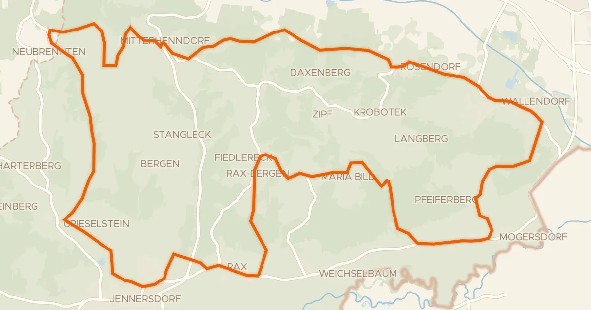
Road bike100% paved
Thermen-Radweg
35 km↑ 492 m16 km away
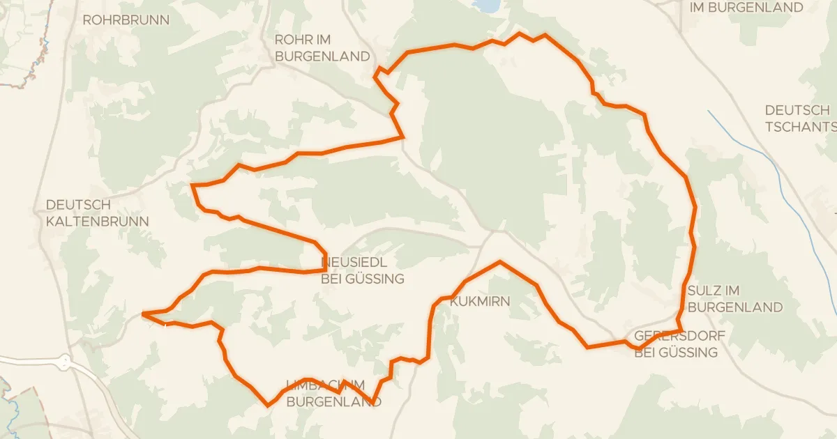
Road bike100% paved
Apfelradweg
41 km↑ 613 m20 km away
Road bike97% paved
Kapellen Tour
43 km↑ 833 m32 km away
Road bike96% paved
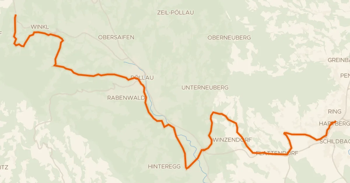
Pöllauer Radweg
33 km↑ 872 m35 km away