Back to the librarykm 0–1km 3–11km 11–12km 16–30km 37–38km 38–39km 42–43km 45–45km 46–47km 51–51km 51–52km 53–54km 56–56
GravelMade by RouteCasterRound trip
Rondje Naturpark Pfyn-Finges en Navizence
Distance
57 km
Ascent
3,499 m
Highest point
2,819 m
11% paved
Start from your location
Ride there from home: we find the shortest way to the loop and start the loop from there.
The ride
This ride rolls out of Chippis and follows the Rhône river before slipping into the Pfyn-Finges nature reserve. From there it climbs high — 3499 m of elevation gain across 57.1 km — before dropping back down along the Navizence river. Most of the route is unpaved, and it finishes where it began, in Chippis.
Climbs
Climb 1Hill
0.8 km at 9.4% · max 26.5%
Climb 2Cat. 2
8 km at 4.8% · max 26.8%
Climb 3Hill
0.7 km at 7.4% · max 17.4%
Pas de BoeufHC
13.6 km at 16.1% · max 59.2%
Climb 5Hill
0.6 km at 11.7% · max 27.6%
Climb 6Hill
0.8 km at 9.6% · max 25%
Climb 7Hill
0.3 km at 10.3% · max 26.5%
Climb 8Hill
0.6 km at 11.9% · max 22.9%
Climb 9Cat. 4
0.8 km at 11.3% · max 26.6%
Climb 10Hill
0.2 km at 14.1% · max 27.6%
Climb 11Hill
0.8 km at 3.4% · max 16.5%
Climb 12Hill
0.8 km at 9% · max 27.9%
Climb 13Hill
0.1 km at 37.9% · max 37.9%
Routes nearby
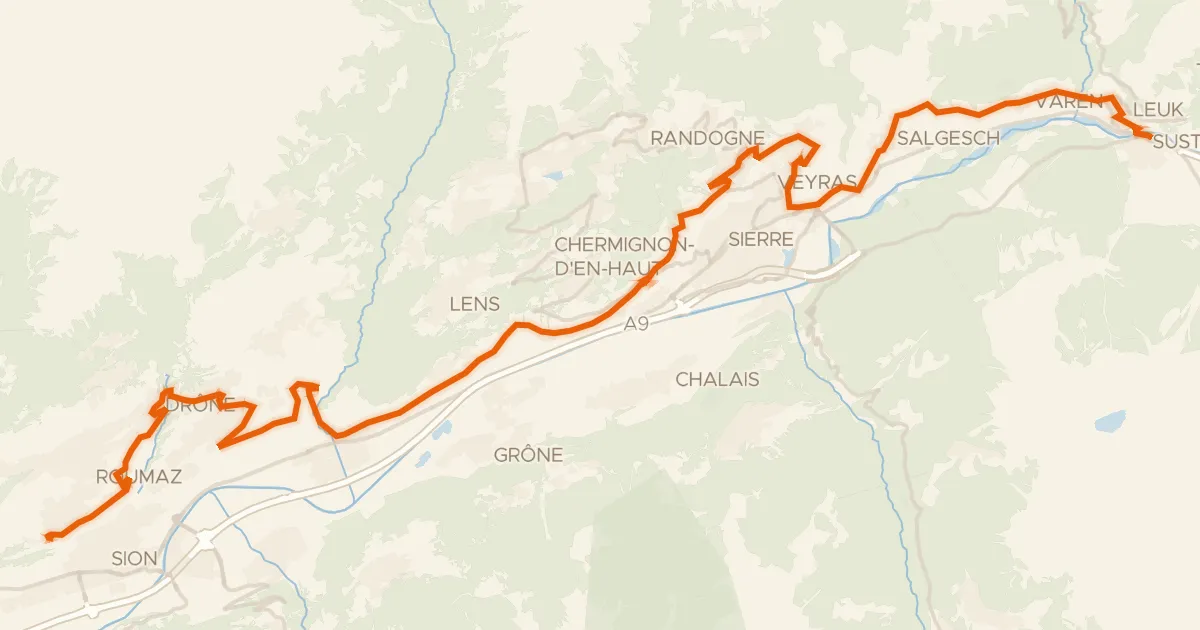
Touring93% paved
Chemin du Vignoble
47 km↑ 1,281 m4 km away
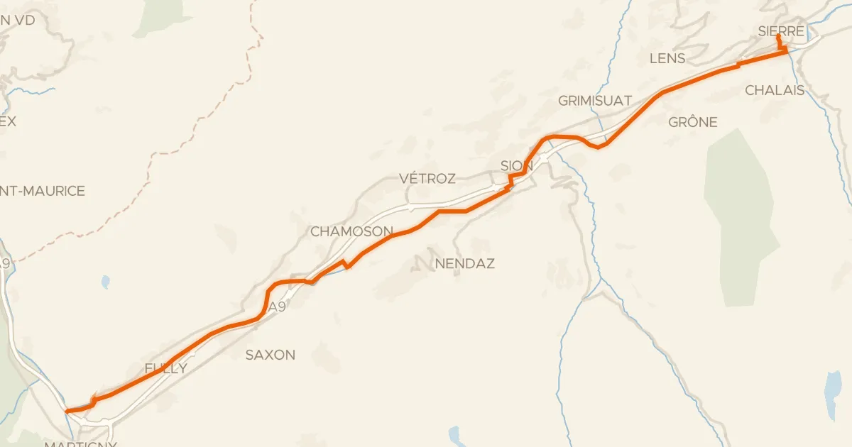
Touring94% paved
Rhône-Route
47 km↑ 99 m20 km away
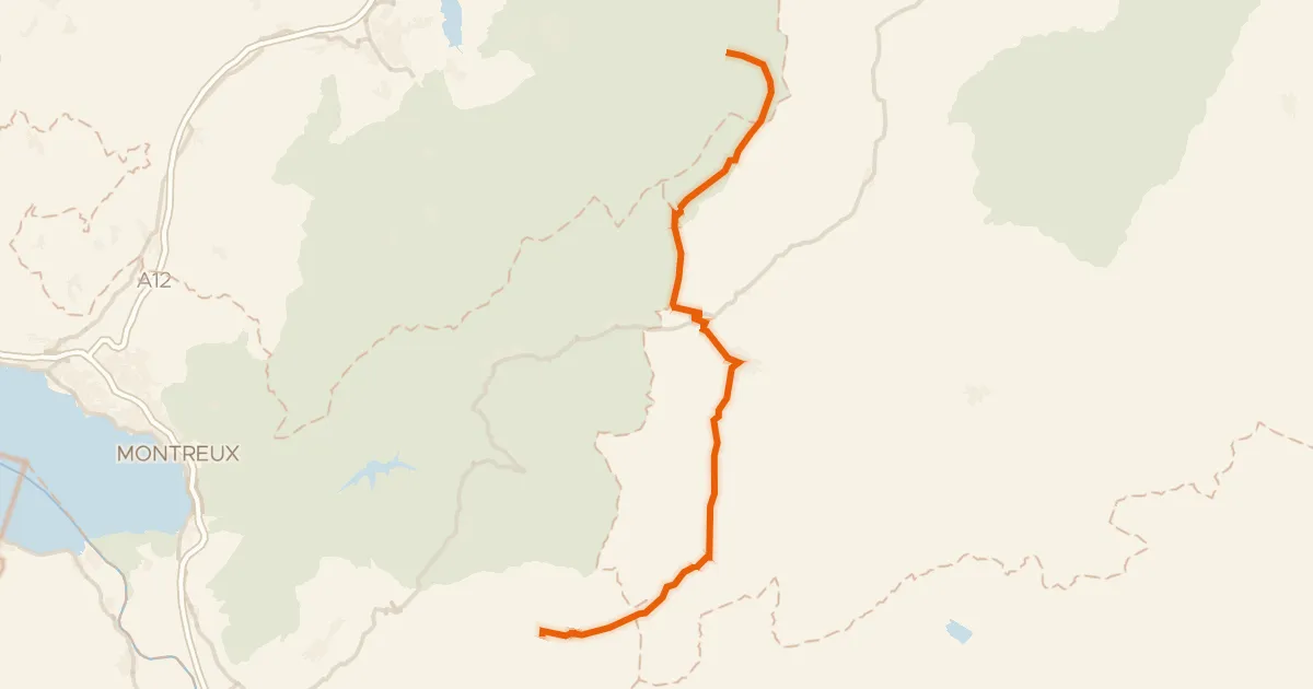
Road bike100% paved
Alpes vaudoises-Pays de Fribourg
49 km↑ 1,397 m32 km away
Col du Pillon · Mittelberg
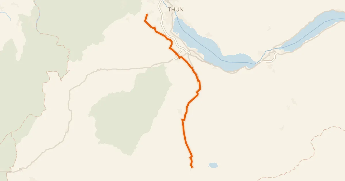
Touring86% paved
Lötschberg-Jura
38 km↑ 342 m39 km away
Road bike100% paved
Route panorama alpine
52 km↑ 1,766 m42 km away
Les Agites · Col d'Ayerne

Gravel26% paved
Rondje Simme en Sense
63 km↑ 3,639 m47 km away