Back to the librarykm 41 · Jun 2020 · © ramap / Mapillary, CC BY-SA km 18–19
GravelRouteCasterRound trip
Rondje Naturpark Bayerischer Wald en Donau
Distance
60 km
Ascent
485 m
Highest point
437 m
29% paved
Start from your location
Ride there from home: we find the shortest way to the loop and start the loop from there.
The ride
Roll out from Parkeerplaats Buch- und Helmberg bei Münster and let the route unfold over 59.9 km. You pass the Kinsach river, then ride through Naturpark Bayerischer Wald, and later meet the Donau. With 71% unpaved, most of the loop runs on gravel and dirt. Then it's back to where you started.
Along the way
Climbs
Climb 1Hill
1.5 km at 3.4% · max 14.5%
Routes nearby
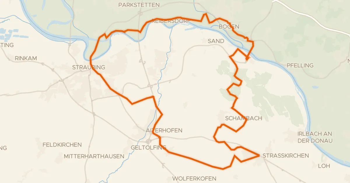
Gravel29% paved
Rondje Herzogsschloss en Bogenberg
53 km↑ 218 m10 km away
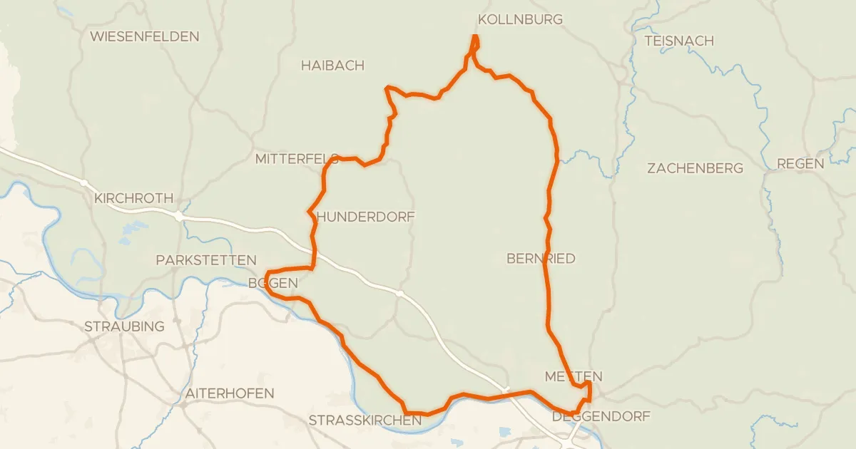
Road bike98% paved
Rondje Schloss Egg en Bogenberg
82 km↑ 1,171 m19 km away
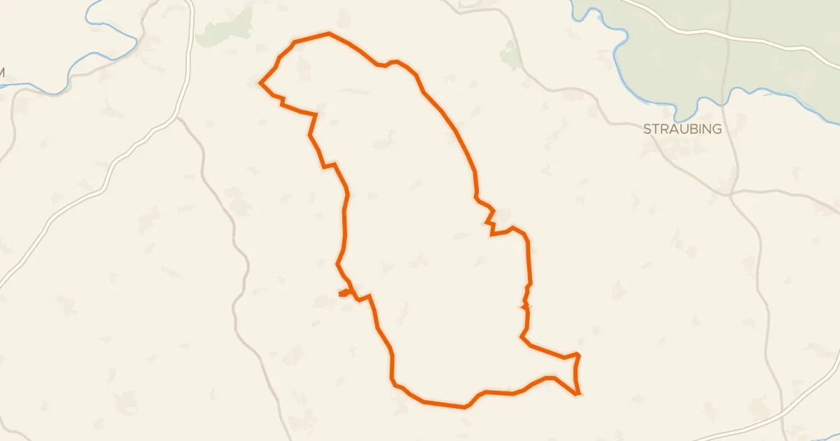
Road bike100% paved
Rondje Schloss Sünching en Kleine Laber
97 km↑ 837 m22 km away
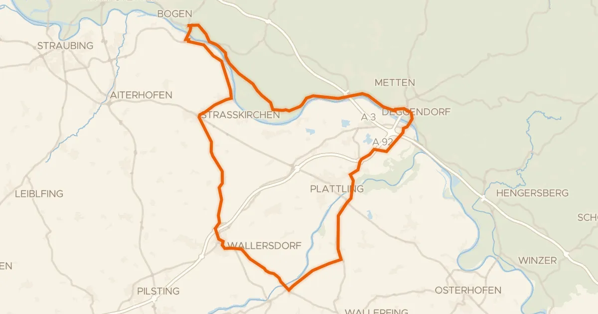
Road bike99% paved
Rondje Schloss Loham en Isarmündung
75 km↑ 170 m25 km away
Road bike100% paved
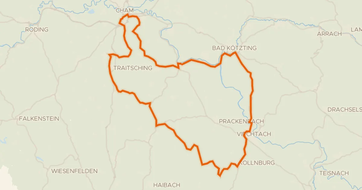
Rondje Schloss Miltach en Kollnburg
81 km↑ 1,440 m25 km away
Road bike98% paved
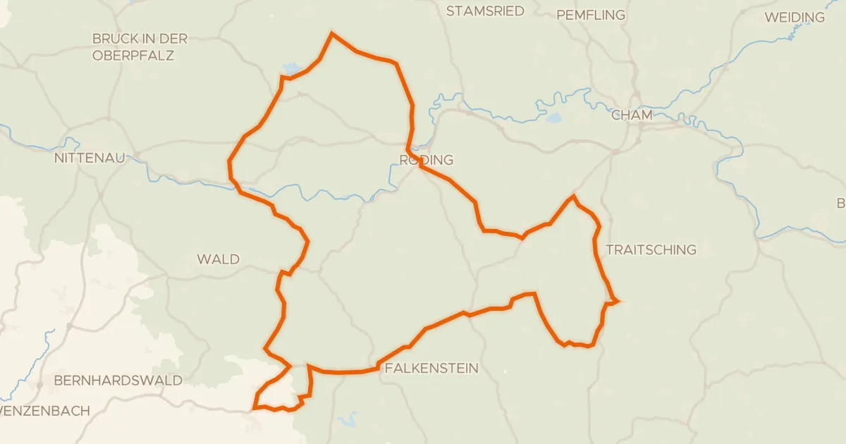
Rondje Ehem. Schloss Strahlfeld en Burg Falkenstein
87 km↑ 1,438 m26 km away