Back to the library
GravelRouteCasterRound trip
Rondje Naturpark Altmühltal en Donau
Distance
59 km
Ascent
357 m
Highest point
507 m
10% paved
Start from your location
Ride there from home: we find the shortest way to the loop and start the loop from there.
The ride
Roll out of Gerolfing and let the route carry you into the Naturpark Altmühltal, a nature reserve that sets the tone early. From there the way runs down to the Donau river before looping back toward home. Of the 58.9 km, most is unpaved, with 357 m of climbing along the way. Start and finish sit in the same village, so the circle closes where it began.
Routes nearby
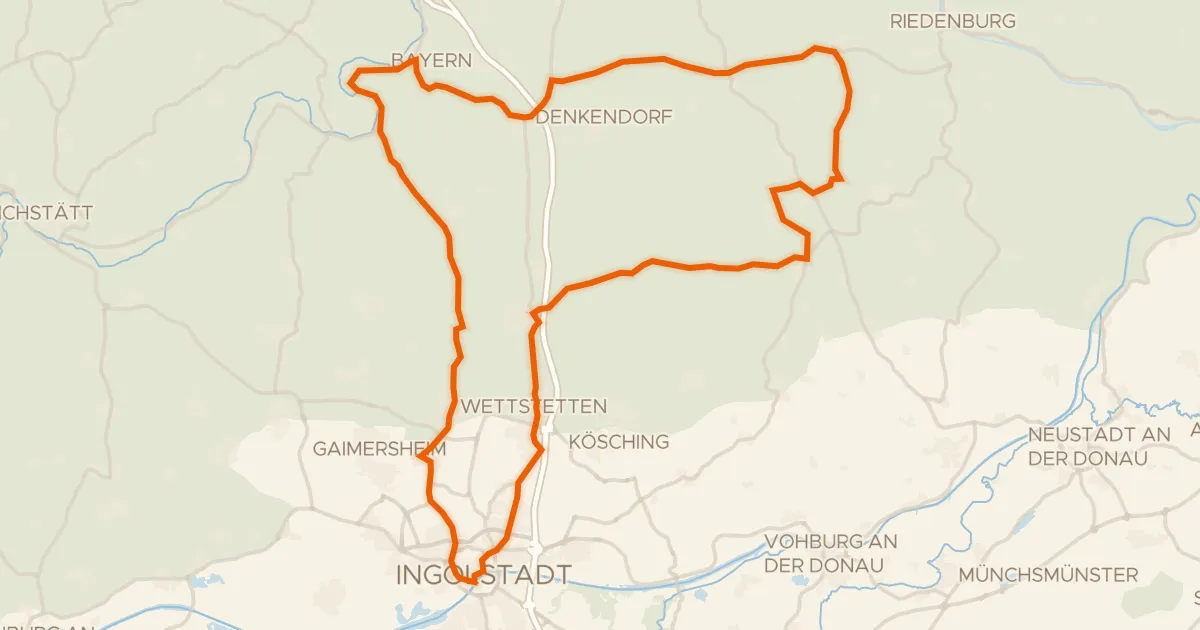
Road bike99% paved
Rondje langs de Altmühl en het Naturpark Altmühltal
86 km↑ 783 m16 km away
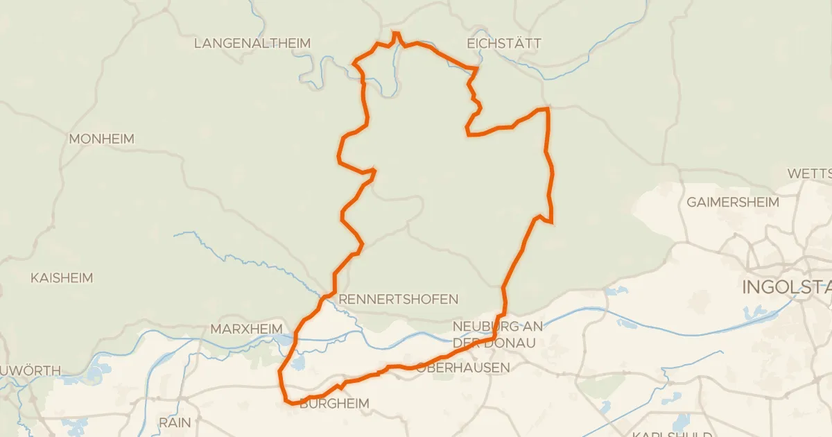
Road bike98% paved
Rondje Burg Wellheim en Mauerner Höhlen
78 km↑ 833 m18 km away
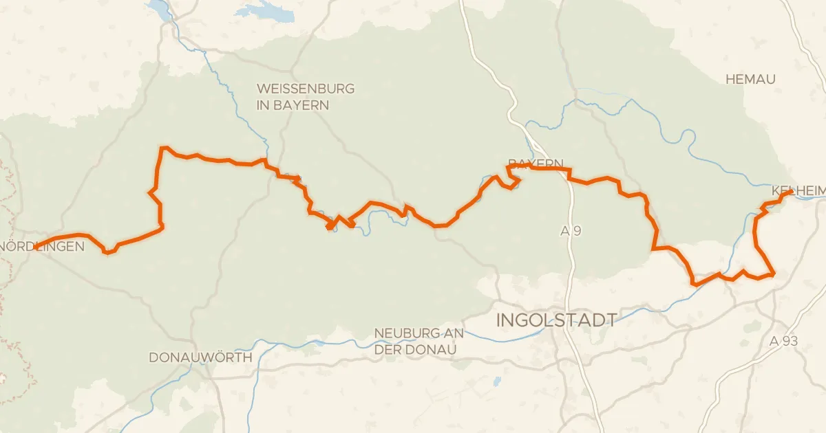
Touring77% paved
GeoRadweg Altmühltal Route 1
198 km↑ 1,885 m19 km away
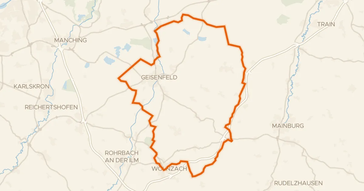
Gravel30% paved
Rondje Dürnbucher Forst en Ilm
60 km↑ 566 m24 km away
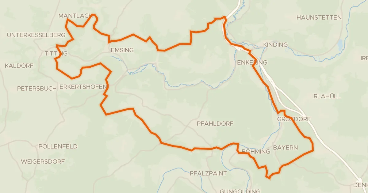
Gravel10% paved
Rondje Burgstall Wieseck en Schwarzach
58 km↑ 1,074 m25 km away
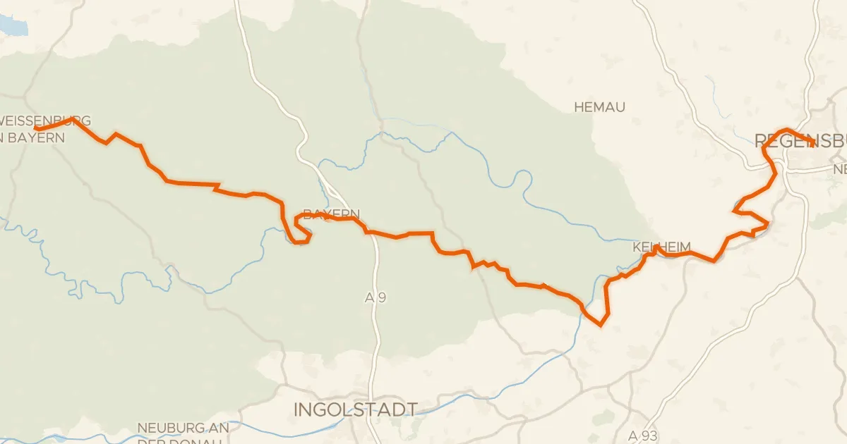
Gravel67% paved
Deutscher Limes-Radweg 6. Abschnitt Weißenburg - Regensburg
145 km↑ 1,399 m25 km away