Back to the librarykm 3–4km 4–9km 30–33km 41–42km 59–63
Road bikeMade by RouteCasterRound trip
Rondje langs de Thur en de Murg
Distance
72 km
Ascent
765 m
Highest point
641 m
99% paved
Start from your location
Ride there from home: we find the shortest way to the loop and start the loop from there.
The ride
From Müllheim Dorf, this 72.3 km loop heads out past the Napoleonturm viewpoint, then follows the Murg river. Next comes Schloss Frauenfeld castle, before the route traces the Thur river and passes Schloss Herdern castle. With 765 m of climbing and a surface that's almost entirely paved, it rolls from village back to village.
Climbs
Climb 1Hill
0.6 km at 5.4% · max 13.7%
Climb 2Cat. 3
5 km at 4.1% · max 10.2%
Climb 3Hill
2.3 km at 3% · max 9.9%
Climb 4Hill
0.8 km at 3.4% · max 5.8%
Climb 5Cat. 4
3.6 km at 4.1% · max 8.9%
Routes nearby
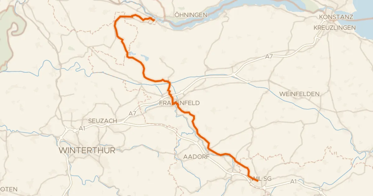
Touring91% paved
Kartäuser-Fürstenland-Route
43 km↑ 573 m8 km away
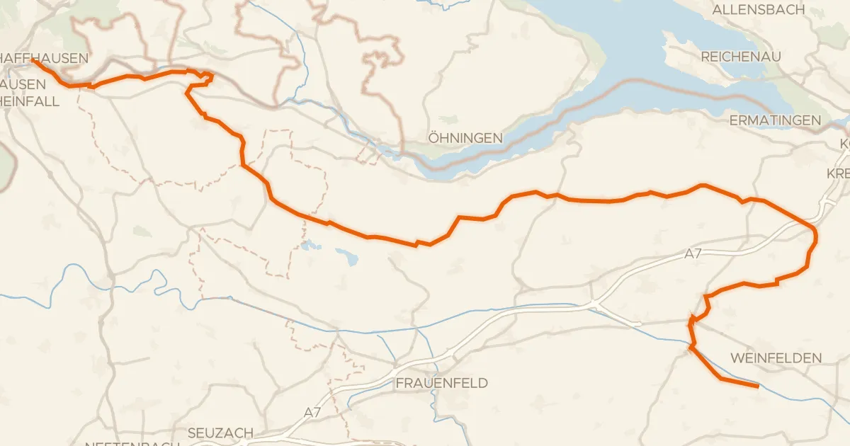
Touring79% paved
Geo-Route
68 km↑ 709 m9 km away
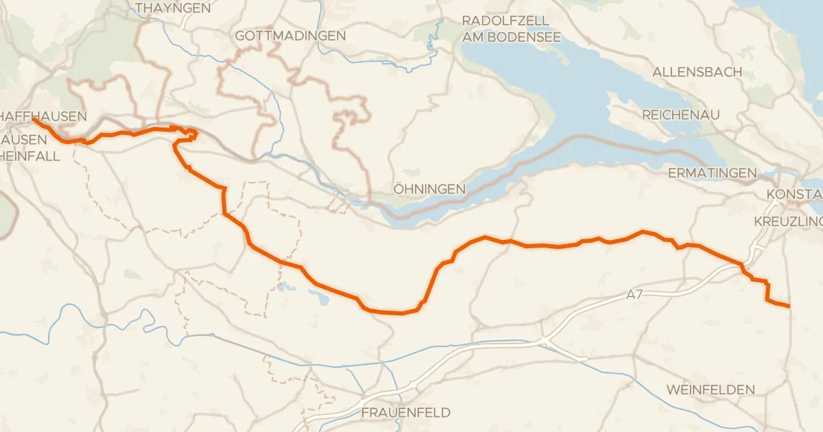
Touring81% paved
Seerücken-Route
56 km↑ 623 m9 km away
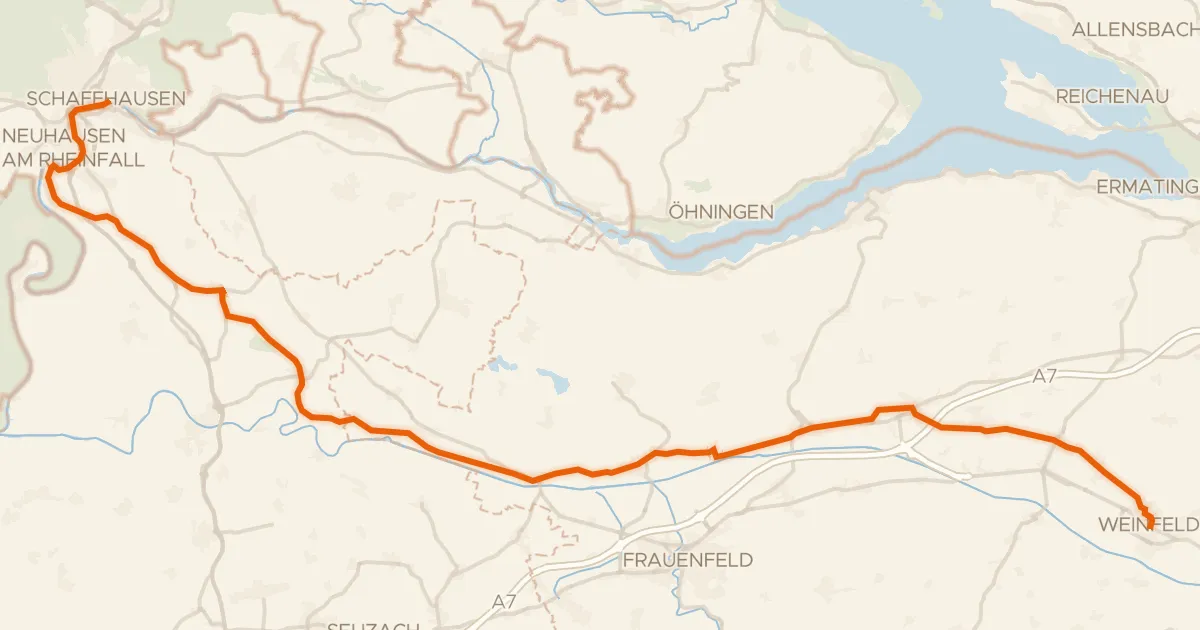
Touring91% paved
Ostschweizer Wein-Route
52 km↑ 585 m11 km away
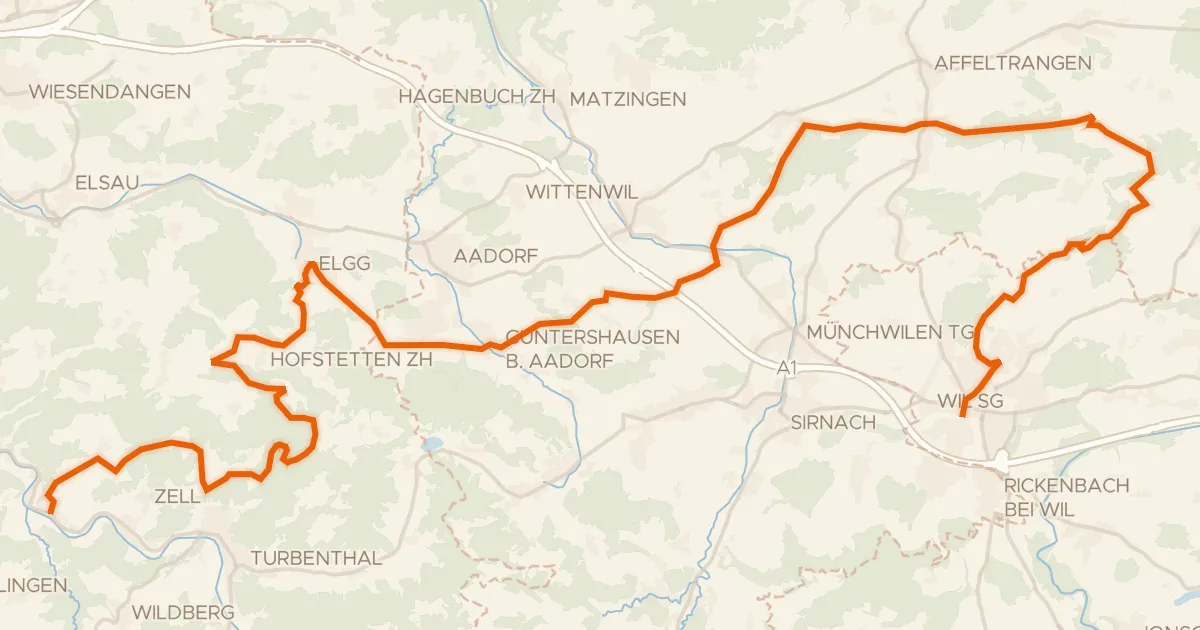
Gravel62% paved
Herzschlaufe Wil – Etappe 2
51 km↑ 1,201 m14 km away
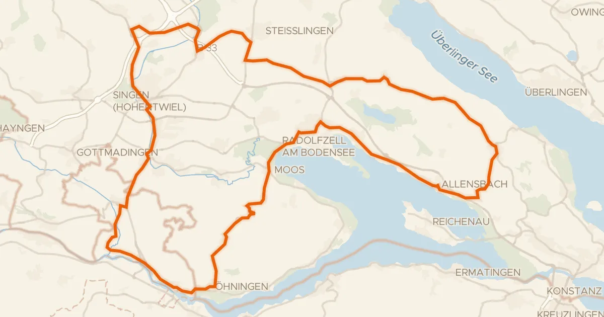
Road bike100% paved
Rondje Oberes Schloss en Radolfzeller Aachmündung
86 km↑ 804 m15 km away