Back to the librarykm 49–53
Road bikeMade by RouteCasterRound trip
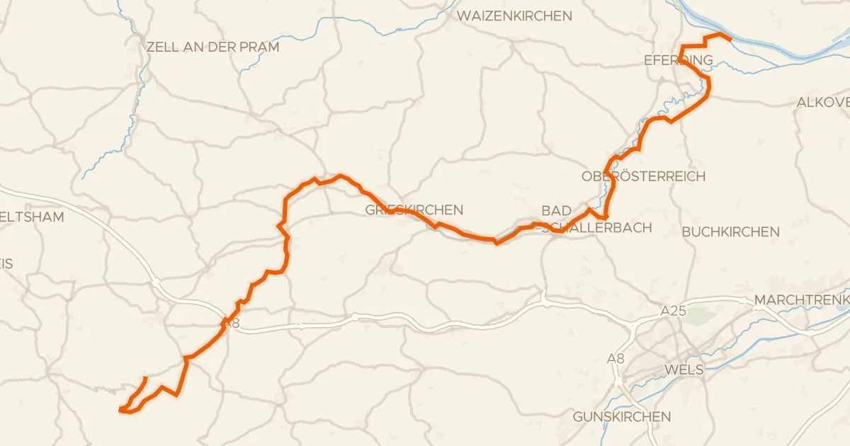
Rondje langs de Krems en de Alm
Distance
84 km
Ascent
869 m
Highest point
538 m
98% paved
Start from your location
Ride there from home: we find the shortest way to the loop and start the loop from there.
The ride
Roll out of Sattledt and let the ride unfold castle by castle: first Schloss Hueb, then Schloss Weyer, before the route follows the Krems river. Further on you pass Schloss Mühlgrub, meet the Alm river, and swing by Schloss Hochhaus on the way back. It's 84.3 km with 869 m of climbing, almost all of it on paved surface, and it starts and finishes in the same village.
Climbs
Climb 1Cat. 3
4.7 km at 3.4% · max 10.1%
Routes nearby

Road bike99% paved
Rondje Schloss Feyregg en Aussichtsterrasse Steyrdurchbruch
77 km↑ 956 m16 km away

Road bike100% paved
Rondje langs de Krems en de Enns
82 km↑ 1,239 m16 km away

Road bike99% paved
Rondje langs de Traun en Burg Wels
73 km↑ 620 m18 km away

Road bike100% paved
Rondje langs de Traun en de Ager
96 km↑ 1,054 m21 km away

Road bike99% paved
Rondje langs de Enns en de Steyr
85 km↑ 825 m23 km away
Touring94% paved
Trattnachtalweg
66 km↑ 395 m24 km away