Back to the librarykm 14–16km 38–39km 46–47
Road bikeMade by RouteCasterRound trip
Rondje langs de Enns en de Steyr
Distance
85 km
Ascent
825 m
Highest point
419 m
99% paved
Start from your location
Ride there from home: we find the shortest way to the loop and start the loop from there.
The ride
From Kronstorfberg the route rolls out to the Enns river, then past Schloss Engelsegg and Schloss Rosenegg before reaching the Steyr. The Wehrgrabenkanal and Schloss Losensteinleiten follow, with the Krems and Schloss Ennsegg on the way back to the start. In total it's 84.7 km with 825 m of climbing, and the riding is almost entirely paved. A loop that strings rivers and castles together and brings you home again.
Climbs
Climb 1Hill
2 km at 3.6% · max 8.6%
Climb 2Hill
0.9 km at 3.9% · max 7.9%
Climb 3Hill
1 km at 3.5% · max 8%
Routes nearby

Gravel64% paved
Langs Schloss Vestenthal en Schloss Ramingdorf
63 km↑ 830 m4 km away

Gravel39% paved
Rondje Schloss Steyregg en Donau
64 km↑ 1,143 m16 km away
Road bike96% paved
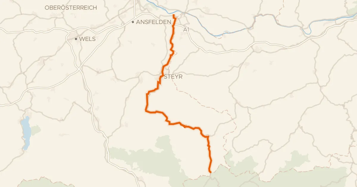
Ennstalweg (Oberösterreich)
92 km↑ 1,378 m17 km away

Road bike100% paved
Rondje Neutor en Enns
74 km↑ 1,333 m20 km away
Road bike99% paved
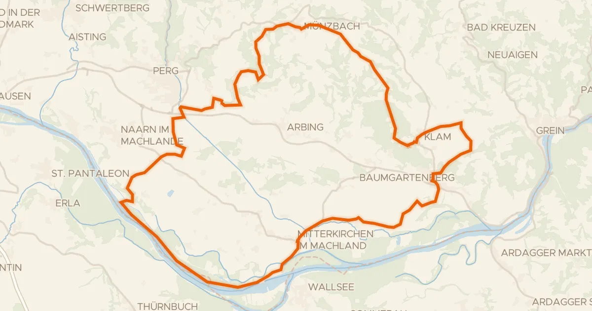
Alpenblick-Runde
52 km↑ 536 m21 km away

Road bike100% paved
Rondje langs de Donau en de Aist
84 km↑ 964 m21 km away