Back to the librarykm 28 · Jun 2020 · © ramap / Mapillary, CC BY-SA km 31 · Jun 2020 · © ramap / Mapillary, CC BY-SA km 4–5km 8–10km 32–35km 40–41km 42–44km 50–53km 55–56
GravelRouteCasterRound trip
Rondje langs de Inn en de Rott
Distance
59 km
Ascent
869 m
Highest point
499 m
19% paved
Start from your location
Ride there from home: we find the shortest way to the loop and start the loop from there.
The ride
Roll out of Fürstenzell and let the ride unfold: 59.0 km with 869 m of climbing, mostly unpaved. You pass the Rott and the Inn, then the castle of Schloß Neuhaus, the ruin of Wimberg, Schloss Neuburg and Burg Wernstein. Four castles, two rivers, one loop back to where you started.
Along the way
Climbs
Climb 1Hill
1.7 km at 4.2% · max 15.3%
Climb 2Hill
2.1 km at 3.4% · max 7.2%
Climb 3Cat. 3
3 km at 6.3% · max 18.6%
Climb 4Hill
1.4 km at 3.2% · max 7.8%
Climb 5Cat. 4
2.1 km at 5.4% · max 13.5%
Climb 6Cat. 4
2.5 km at 3.7% · max 9.8%
Climb 7Hill
0.6 km at 6.1% · max 8.6%
Routes nearby
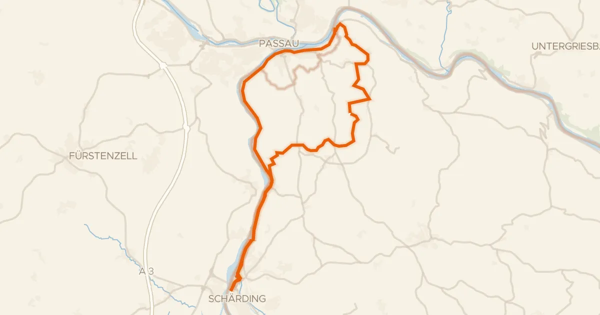
Touring72% paved
Inn-Donau-Runde
44 km↑ 563 m12 km away
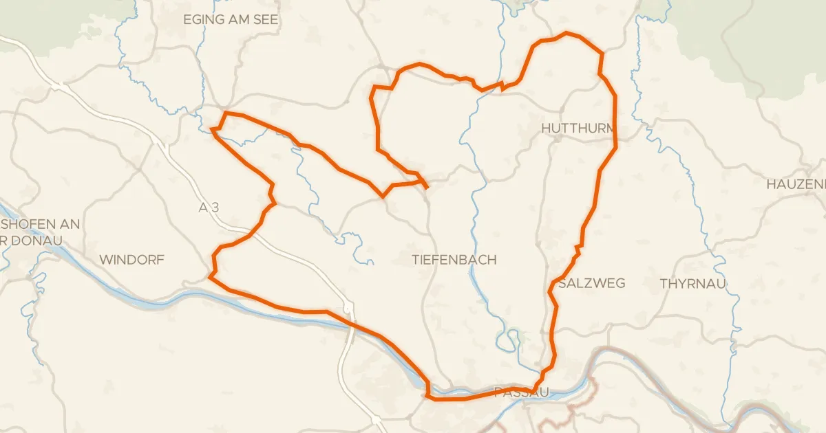
Road bike98% paved
Rondje Veste Oberhaus en Donau
72 km↑ 942 m15 km away
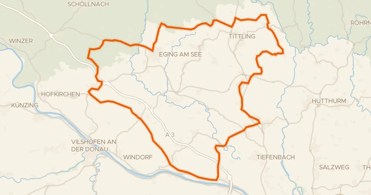
Road bike100% paved
Rondje Hoiberhügel en Burg Rathsmannsdorf
73 km↑ 1,152 m17 km away
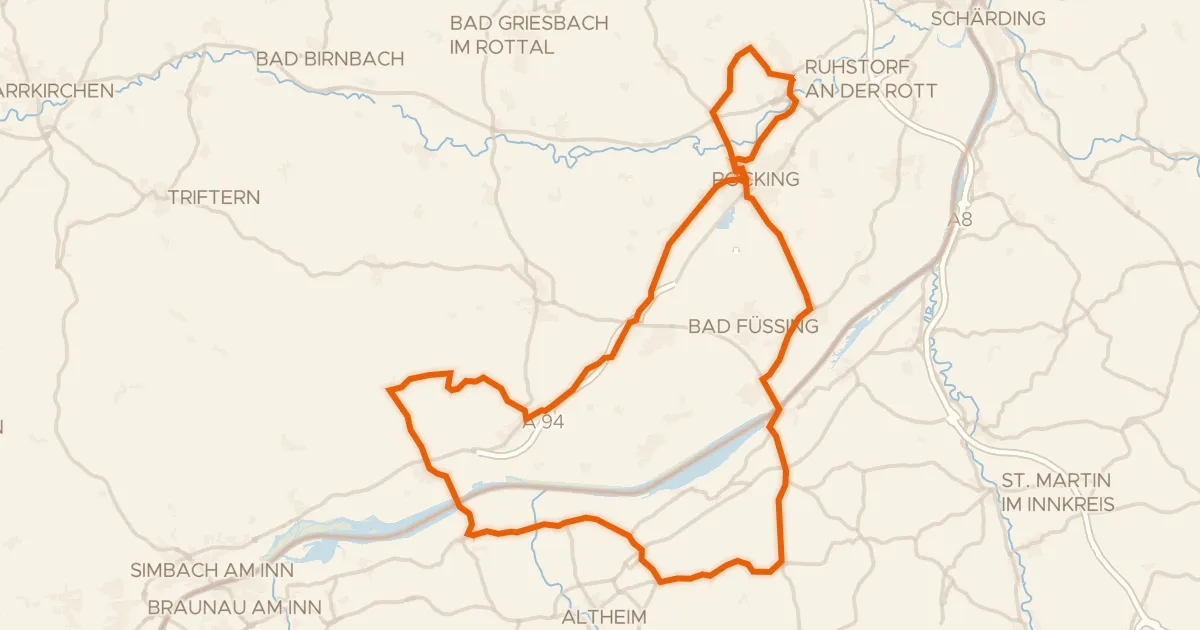
Road bike100% paved
Rondje langs de Rott en de Inn
75 km↑ 437 m20 km away
Road bike99% paved
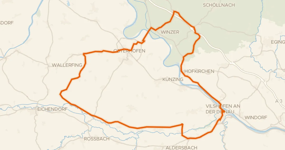
Rondje Burgruine Winzer en Vils-Engtal
72 km↑ 530 m26 km away
Gravel41% paved
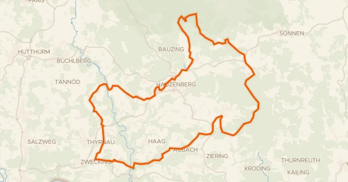
Rondje Naturpark Bayerischer Wald en Freudensee
53 km↑ 1,158 m27 km away