Back to the librarykm 0–1km 4–8km 9–10km 10–11km 13–14km 16–19km 30–31km 36–37km 47–48km 48–49km 50–52
GravelRouteCasterRound trip
Rondje Naturpark Bayerischer Wald en Freudensee
Distance
53 km
Ascent
1,158 m
Highest point
880 m
41% paved
Start from your location
Ride there from home: we find the shortest way to the loop and start the loop from there.
The ride
Roll out of Fürsetzing and let the route unfold: past the Freudensee lake, then through the Naturpark Bayerischer Wald nature reserve, and on along the Erlau river before the road turns for home. Of the 53.4 km, most run unpaved, with 1158 m of climbing along the way. It's a loop that keeps changing under your wheels from start to finish.
Climbs
Climb 1Hill
0.7 km at 7.7% · max 12.1%
Climb 2Cat. 2
4.6 km at 7.2% · max 21.7%
Climb 3Hill
0.8 km at 6.4% · max 10.3%
Climb 4Hill
0.9 km at 4.2% · max 10.1%
Climb 5Hill
0.9 km at 4.5% · max 7.2%
Climb 6Cat. 4
2.8 km at 5.4% · max 24.1%
Climb 7Hill
0.6 km at 4.8% · max 6.7%
Climb 8Cat. 4
1.2 km at 8.3% · max 24.6%
Climb 9Hill
1 km at 8% · max 13.5%
Climb 10Hill
0.6 km at 5% · max 8%
Climb 11Cat. 4
2 km at 4.1% · max 13.1%
Routes nearby
Road bike98% paved
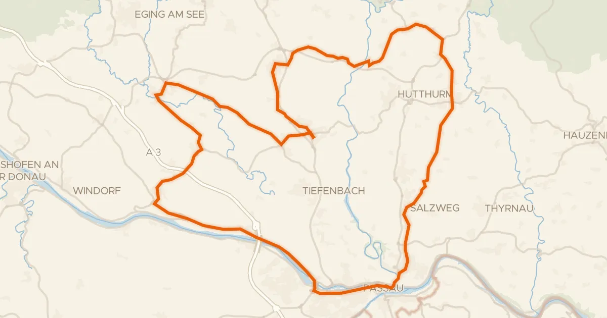
Rondje Veste Oberhaus en Donau
72 km↑ 942 m15 km away
Road bike96% paved
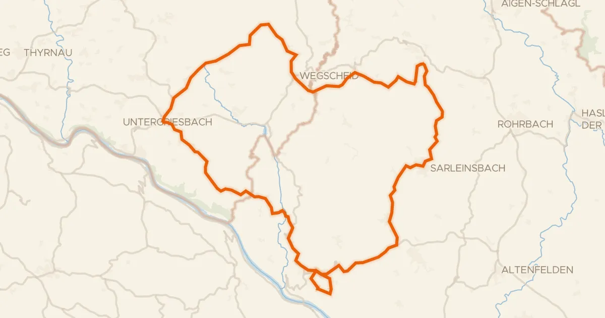
Rondje Schloss Altenhof en Ranna
78 km↑ 1,703 m17 km away
Touring72% paved
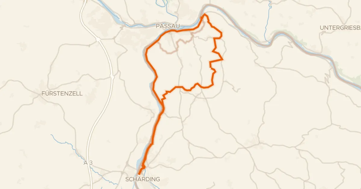
Inn-Donau-Runde
44 km↑ 563 m18 km away
Road bike100% paved
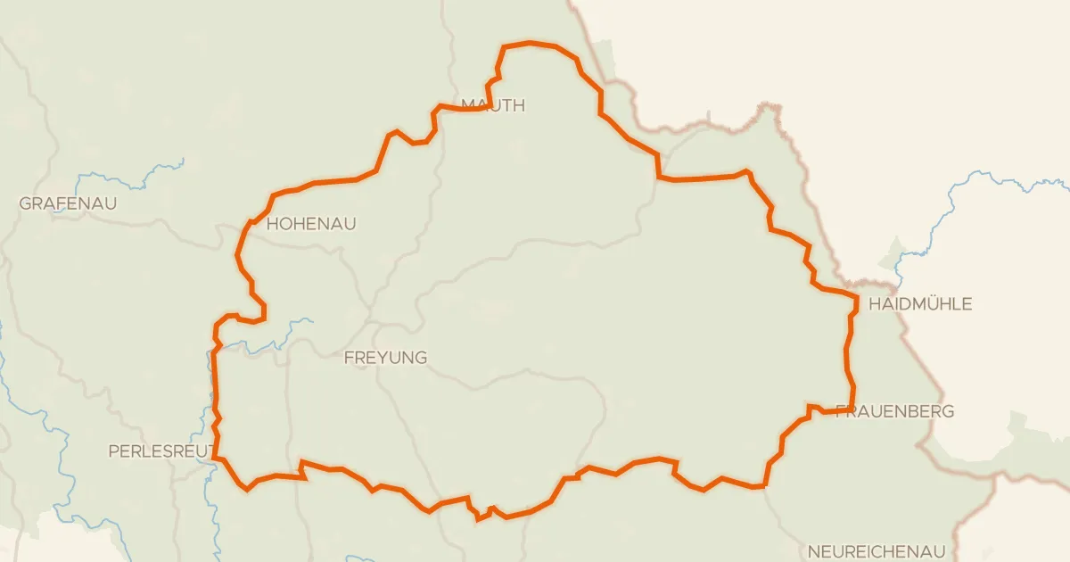
Rondje Haidfilz en Wolfsteiner Ohe
80 km↑ 1,653 m20 km away
Road bike98% paved
Penzenstein-Runde
40 km↑ 1,016 m21 km away
Gravel36% paved
Rondje Schloß Wolfstein en Obere Ilz
58 km↑ 1,485 m22 km away