Back to the librarykm 27 · May 2021 · © zoegglmeyr1 / Mapillary, CC BY-SA km 34 · Sep 2024 · © miguel_andrade / Mapillary, CC BY-SA km 5–6km 7–8km 43–44km 45–47km 54–55
GravelRouteCasterRound trip
Rondje langs Burg Creuzburg en Hörsel
Distance
57 km
Ascent
933 m
Highest point
417 m
27% paved
Start from your location
Ride there from home: we find the shortest way to the loop and start the loop from there.
The ride
Roll out of Eisenach past the Stadtschloss and straight into the Naturpark Thüringer Wald. The route follows the Hörsel and Nesse rivers before climbing to Burg Creuzburg, then winds through wooded gorges between Wartburg and Hohe Sonne. With 933 m of climbing and 56.6 km, only 27% is paved. The ride ends back in Eisenach, past the Burgruine Metilstein.
Along the way
Climbs
Climb 1Hill
0.8 km at 7.5% · max 14.5%
Climb 2Hill
1.1 km at 3.4% · max 7.5%
Climb 3Hill
1 km at 4.1% · max 13.1%
Climb 4Cat. 4
2.3 km at 6% · max 14.3%
Climb 5Cat. 4
1.3 km at 8.2% · max 17.3%
Routes nearby
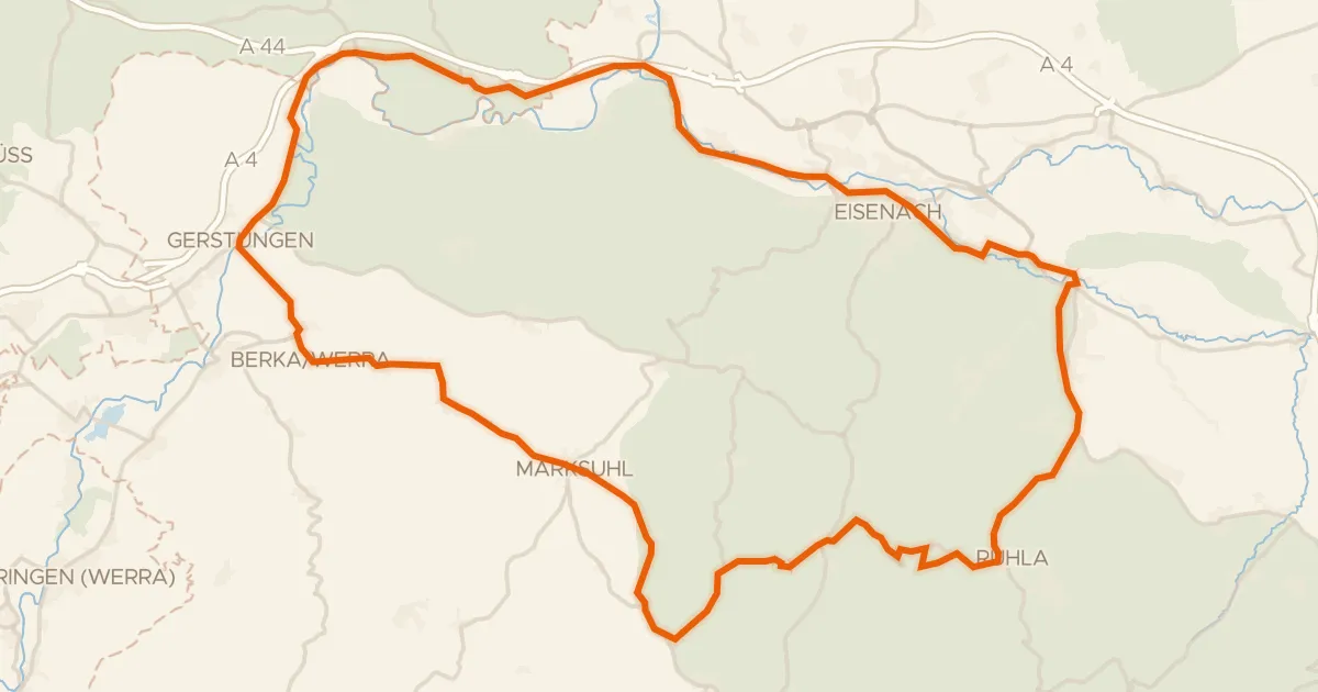
Road bike98% paved
Rondje Schloss Gerstungen en Burg Wittgenstein
72 km↑ 700 m7 km away
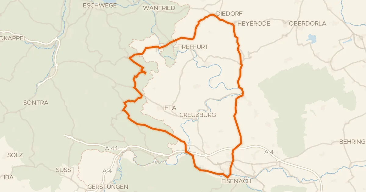
Road bike97% paved
Rondje Graburg en Dreiherrenstein-Eschenberg-Kreutzerberg
76 km↑ 1,150 m13 km away
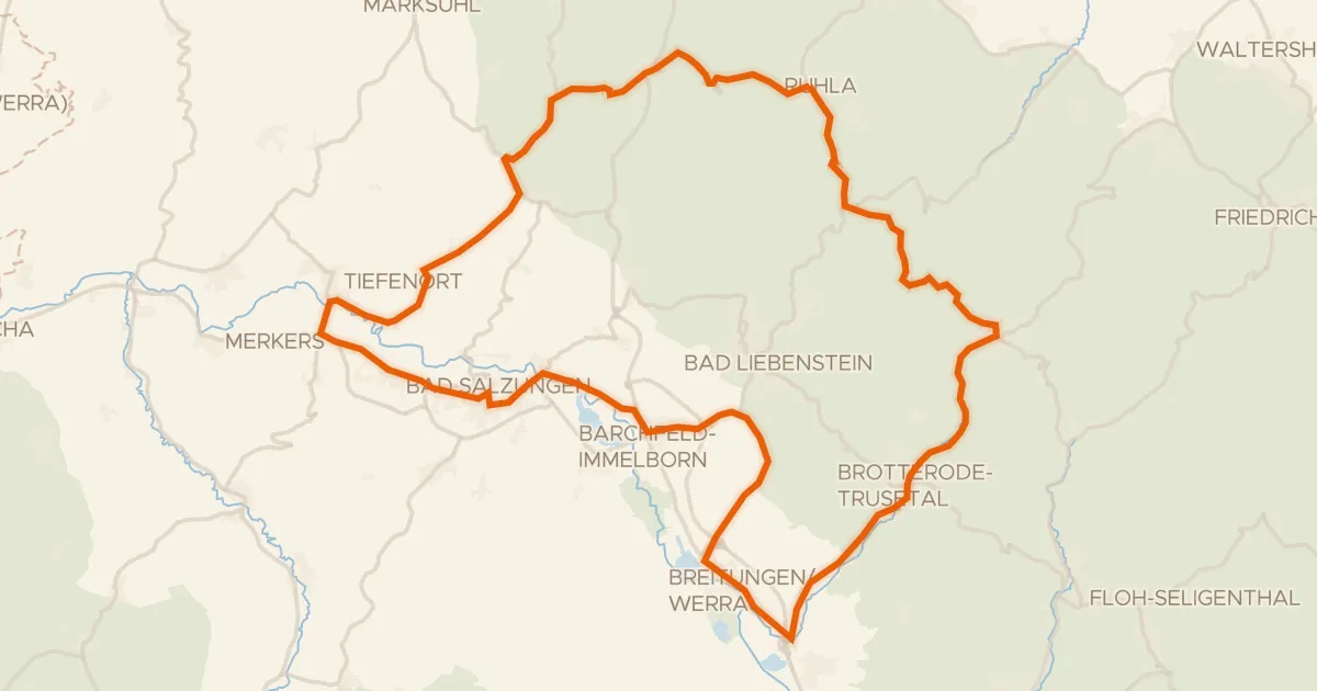
Road bike99% paved
Rondje langs de Werra en Burg Frankenstein
72 km↑ 1,006 m17 km away
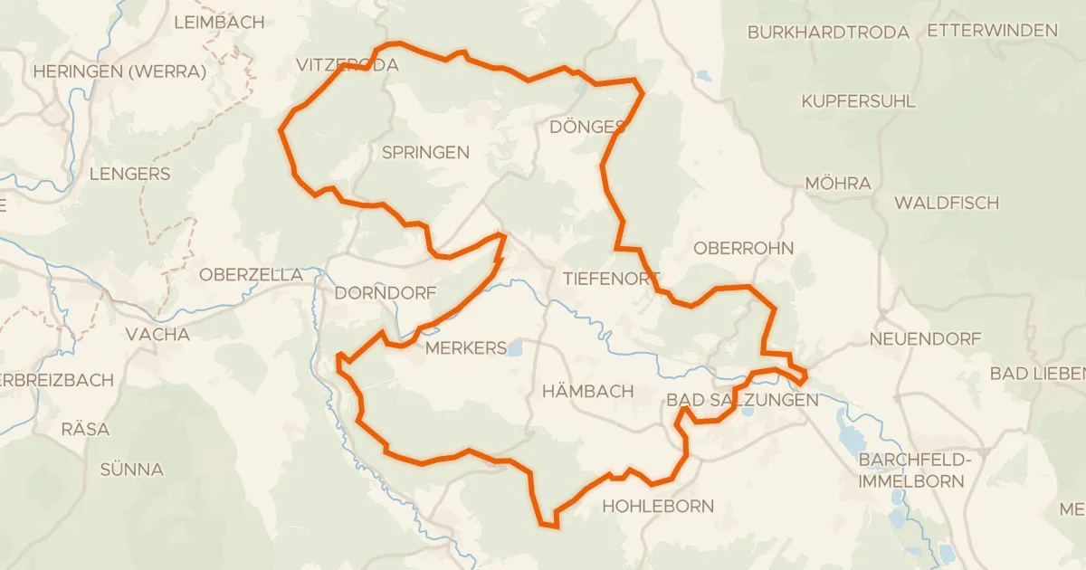
Gravel16% paved
Rondje Burg Frankenstein en Werra
63 km↑ 1,267 m19 km away
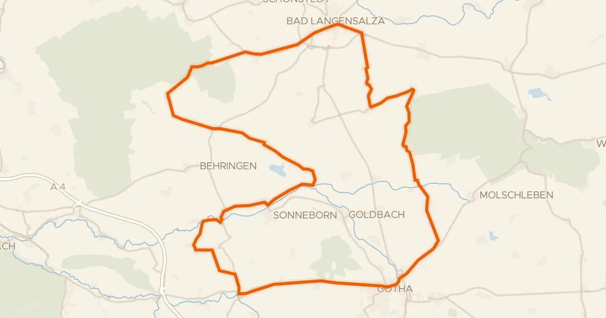
Road bike100% paved
Rondje Wasserburg Käseburg en Fahner Höhe
79 km↑ 676 m22 km away
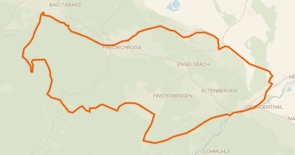
Gravel65% paved
Rennsteigschleife
38 km↑ 684 m24 km away
Heuberghaus