Back to the librarykm 2–17km 34–34km 36–36km 43–46km 48–49km 51–52km 52–55km 59–60km 60–60km 61–61km 61–61km 63–65km 65–65km 66–68km 69–70km 70–74
Road bikeMade by RouteCasterRound trip
Rondje La Tinée en La Vésubie
Distance
74 km
Ascent
3,084 m
Highest point
1,513 m
100% paved
Start from your location
Ride there from home: we find the shortest way to the loop and start the loop from there.
The ride
This loop starts and finishes in Belvédère and passes four rivers in turn: the Madone, the Boréon, the Tinée and the Vésubie. The route is 74.3 km, entirely paved, and climbs 3084 m along the way. Ride out from the village, follow each river as it comes, and roll back to where you began.
Climbs
Col Saint-MartinHC
15.1 km at 6% · max 68.7%
Climb 2Hill
0.3 km at 8.7% · max 10.8%
Climb 3Hill
0.3 km at 17.1% · max 29.5%
Climb 4Cat. 2
3 km at 12.2% · max 48.8%
Climb 5Cat. 4
1.3 km at 10.1% · max 27%
Climb 6Cat. 4
1.5 km at 6.2% · max 42.6%
Climb 7Cat. 2
2.8 km at 12.1% · max 47.4%
Climb 8Hill
0.4 km at 9.2% · max 20.2%
Climb 9Hill
0.4 km at 11% · max 21%
Climb 10Hill
0.2 km at 19.3% · max 34.5%
Climb 11Hill
0.2 km at 25.4% · max 31.1%
Climb 12Cat. 4
1.9 km at 4.8% · max 16.7%
Climb 13Hill
0.2 km at 16.3% · max 17.8%
Climb 14Hill
1.5 km at 4% · max 12.8%
Climb 15Hill
1 km at 4% · max 13.3%
Climb 16Cat. 2
4.2 km at 8% · max 33.1%
Routes nearby
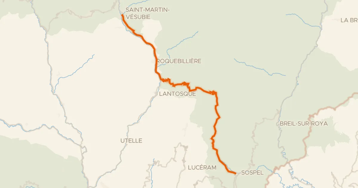
Road bike100% paved
Route des Grandes Alpes à vélo, étape 13, Saint-Martin Vésubie / Sospel
51 km↑ 2,016 m5 km away
Col de Turini
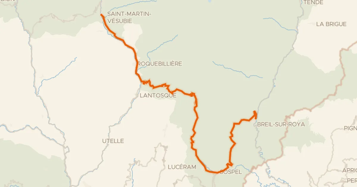
Road bike100% paved
Le Grand Tour Alpi Marittime-Mercantour Breil-sur-Roya * Saint-Martin-Vésubie
76 km↑ 3,384 m7 km away
Col du Pérus · Col de Brouis
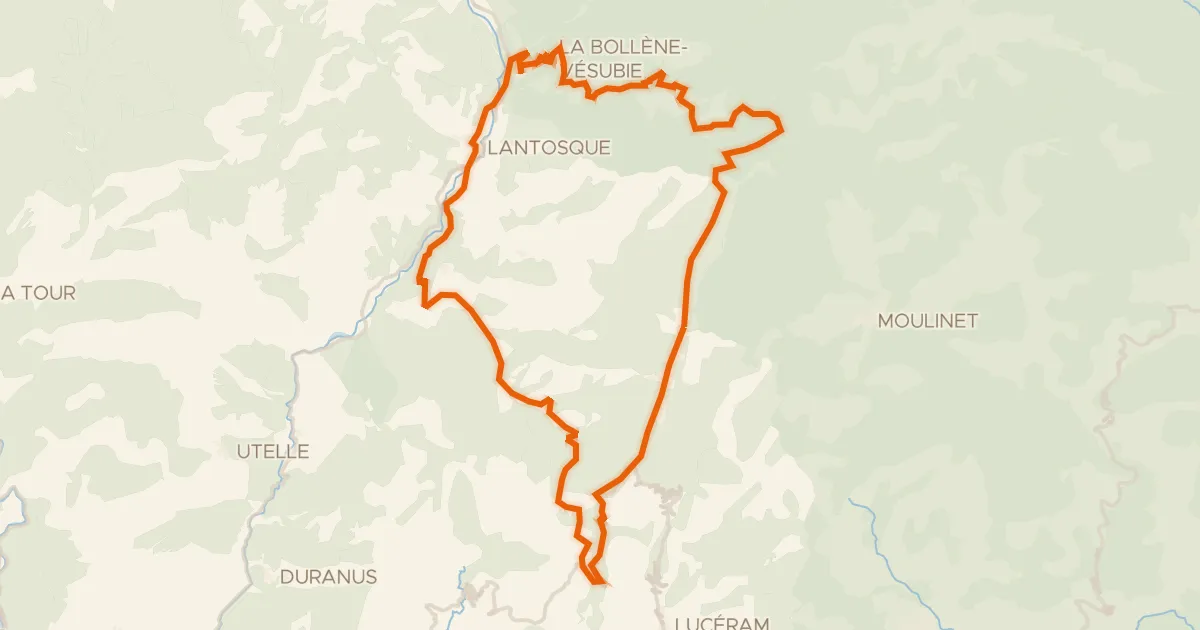
Road bike100% paved
A l'assaut des lacets du Turini - 2
49 km↑ 2,386 m8 km away
Col Saint-Roch · Col de la Porte
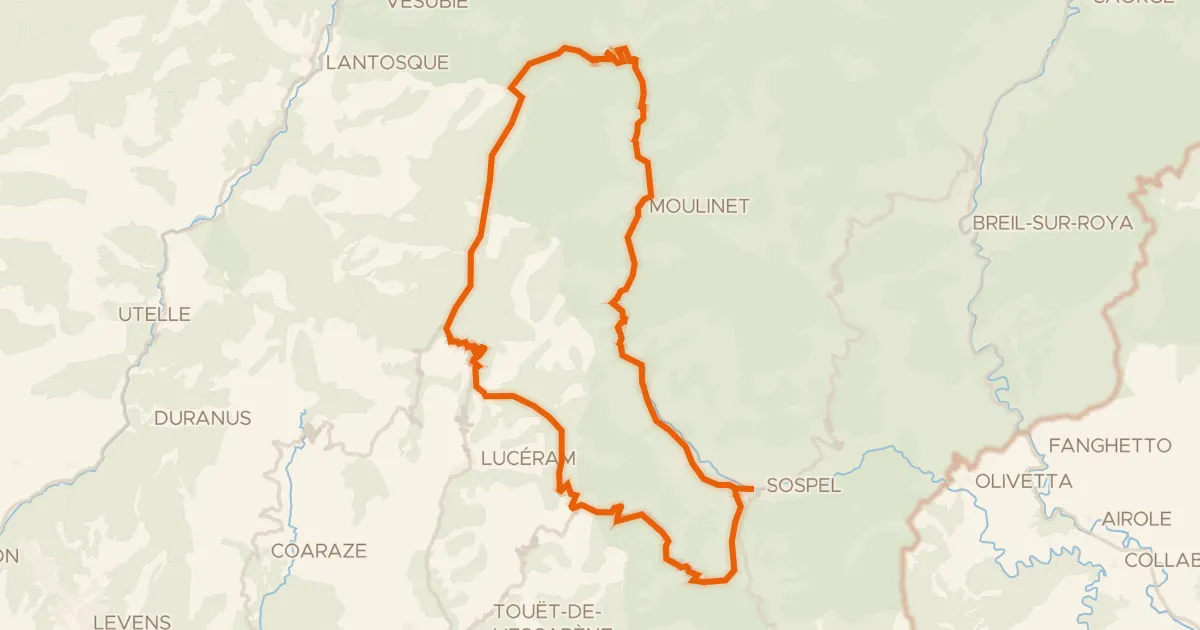
Road bike100% paved
A l'assaut des lacets du Turini - 1
60 km↑ 2,340 m13 km away
Col Saint-Jean · Col de Braus
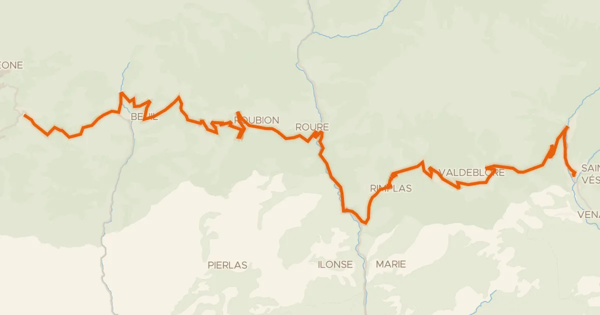
Road bike100% paved
Route des Grandes Alpes à vélo, étape 12, Valberg / Saint-Martin Vésubie
59 km↑ 2,044 m19 km away
Col de la Couillole · Col Saint-Martin
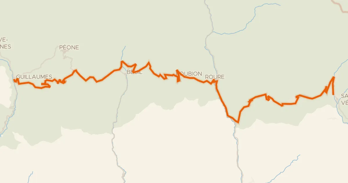
Road bike100% paved
Le Grand Tour Alpi Marittime-Mercantour Saint-Martin-Vésubie * Guillaumes
73 km↑ 2,877 m22 km away
Col de la Couillole · Col Saint-Martin