Back to the librarykm 8–9km 9–10km 10–11km 18–20km 23–23km 24–24km 26–31km 31–31km 31–32km 32–33km 33–33km 33–35km 35–36km 36–37km 37–43
Road bikeRound trip
A l'assaut des lacets du Turini - 2
Distance
49 km
Ascent
2,386 m
Highest point
1,650 m
100% paved
Start from your location
Ride there from home: we find the shortest way to the loop and start the loop from there.
The ride
48.5 km, 100% paved and 0% unpaved — that's the canvas for 2386 m of climbing. Along the way you pass Col Saint-Roch, Col de la Porte, Baisse de Peïra Cava and Col de Turini. Short in distance, big in elevation: that's the shape of this ride.
Passes
Col Saint-RochCol de la PorteBaisse de Peïra CavaCol de Turini
Climbs
Climb 1Hill
0.5 km at 8.3% · max 19.8%
Climb 2Hill
0.3 km at 13.5% · max 27.3%
Col de la PorteHill
0.7 km at 3.8% · max 18.9%
Climb 4Hill
1.8 km at 4.4% · max 18.3%
Climb 5Hill
0.1 km at 29.7% · max 29.7%
Climb 6Hill
0.8 km at 5.8% · max 17.2%
Climb 7Cat. 3
5.4 km at 5.4% · max 20.7%
Climb 8Hill
0.2 km at 37.3% · max 52.9%
Climb 9Hill
0.5 km at 12.3% · max 27.4%
Climb 10Cat. 4
0.7 km at 13.4% · max 24.7%
Climb 11Hill
0.3 km at 15.2% · max 18.5%
Climb 12Cat. 3
1.9 km at 9.7% · max 23.2%
Climb 13Cat. 4
0.7 km at 11.5% · max 20.9%
Climb 14Cat. 4
0.8 km at 11.5% · max 23.6%
Climb 15Cat. 2
5.9 km at 7.2% · max 25.5%
Routes nearby
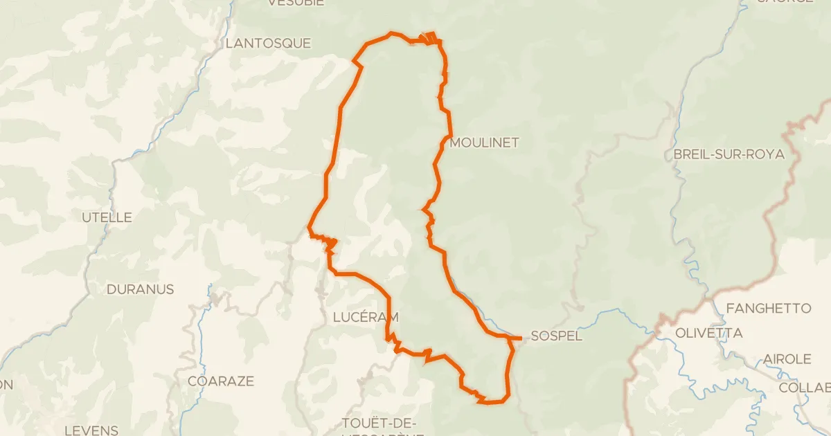
Road bike100% paved
A l'assaut des lacets du Turini - 1
60 km↑ 2,340 m4 km away
Col Saint-Jean · Col de Braus
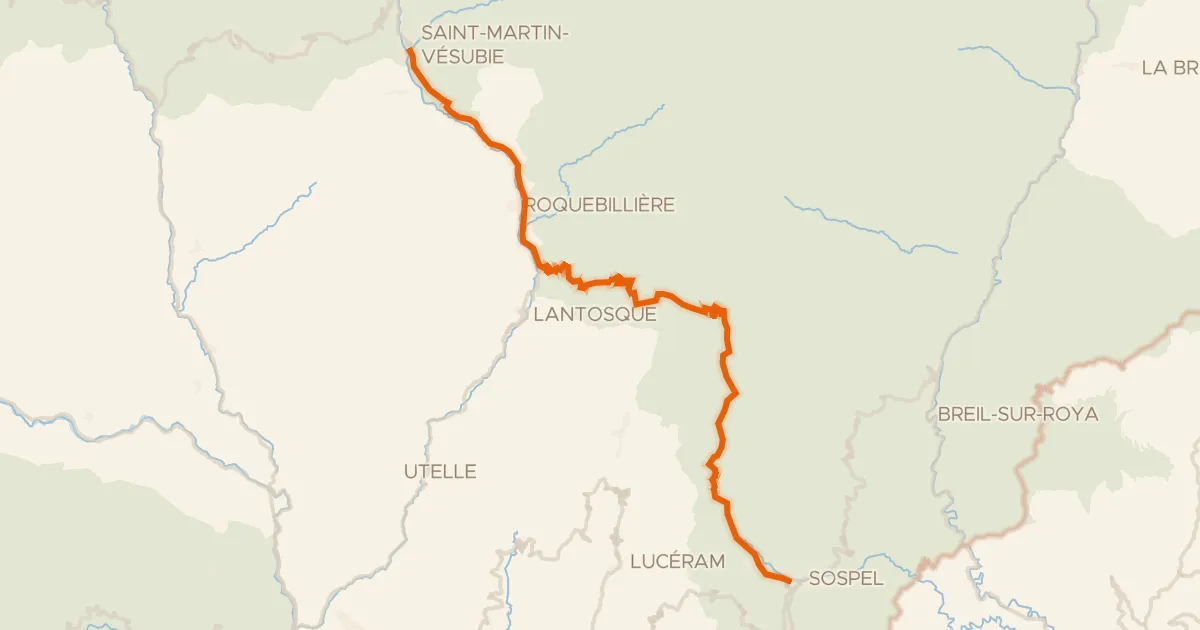
Road bike100% paved
Route des Grandes Alpes à vélo, étape 13, Saint-Martin Vésubie / Sospel
51 km↑ 2,016 m4 km away
Col de Turini
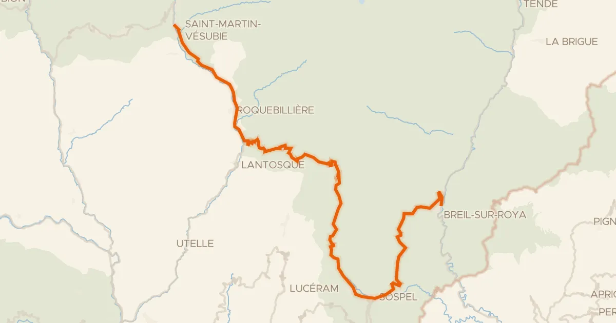
Road bike100% paved
Le Grand Tour Alpi Marittime-Mercantour Breil-sur-Roya * Saint-Martin-Vésubie
76 km↑ 3,384 m4 km away
Col du Pérus · Col de Brouis
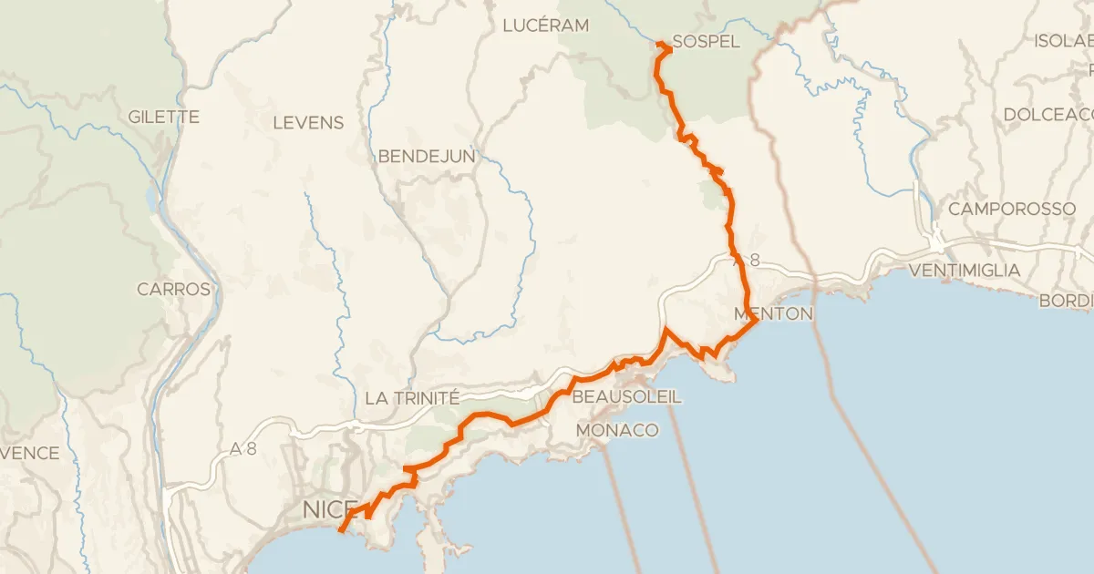
Road bike100% paved
Route des Grandes Alpes à vélo, étape 14, Sospel / Nice
52 km↑ 1,621 m17 km away
Col de Villefranche · Col d'Èze
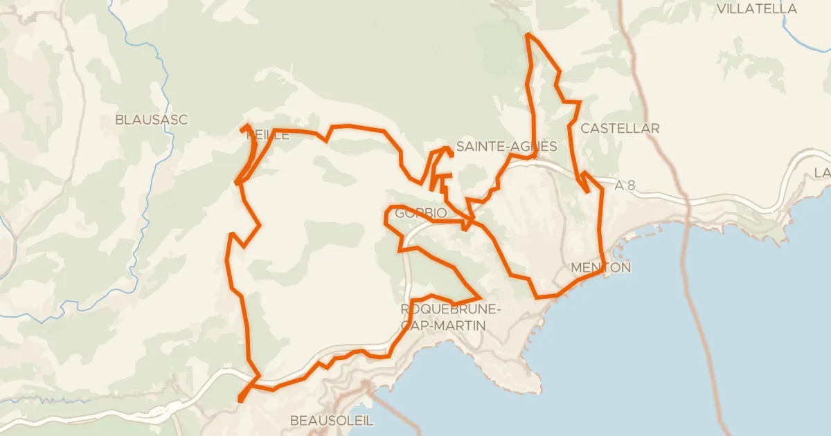
Road bike100% paved
Le défi de la Madone
70 km↑ 2,903 m19 km away
Gajessa · Col de Saint-Pancrace
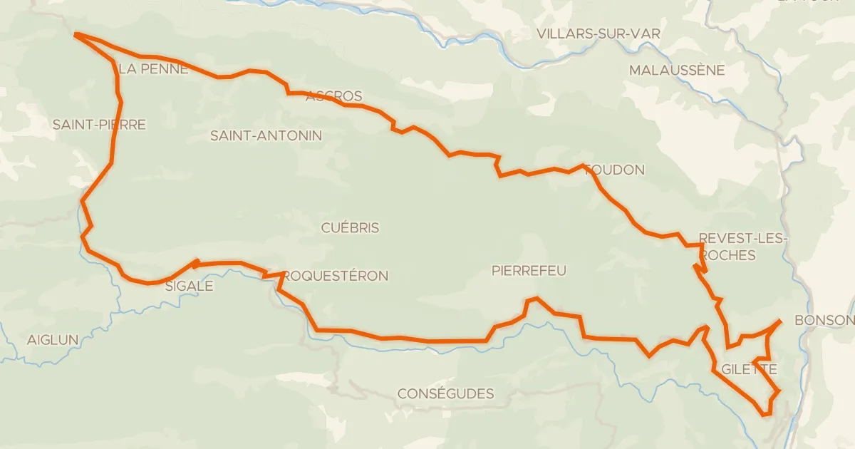
Road bike100% paved
Boucle d'Azur n°4 : Les Balcons de l'Estéron
80 km↑ 2,653 m25 km away
Col de Vé Gautier · Col Saint-Raphaël