Back to the librarykm 30–33km 34–35km 35–35km 36–38km 39–40
GravelMade by RouteCasterRound trip
Rondje Irlacher Au en Salzach
Distance
67 km
Ascent
850 m
Highest point
782 m
19% paved
Start from your location
Ride there from home: we find the shortest way to the loop and start the loop from there.
The ride
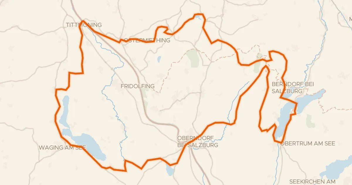
From Oberndorf bei Salzburg you roll out toward the Irlacher Au nature reserve, then follow the Salzach river onward. Later the route traces the Sur and the Fischach, linking river to river across 67.2 km and 850 m of climbing. With most of the riding unpaved, it's a loop that keeps you turning the pedals before bringing you back to where you started.
Climbs
Climb 1Cat. 4
2.6 km at 3.2% · max 12.3%
Climb 2Cat. 4
0.8 km at 12.4% · max 30.7%
Climb 3Hill
0.3 km at 13.4% · max 15.5%
Climb 4Cat. 3
1.6 km at 14.8% · max 40%
Climb 5Hill
0.8 km at 7.2% · max 12.4%
Routes nearby
Road bike96% paved
Bajuwarentour
126 km↑ 1,526 m6 km away
Touring90% paved
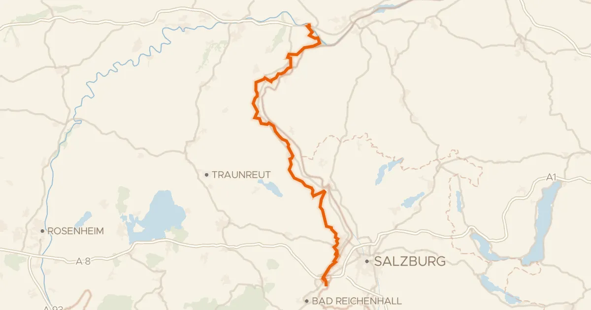
Salzhandelsweg
99 km↑ 740 m10 km away

Road bike99% paved
Rondje Egelseen en Schloss Sighartstein
81 km↑ 818 m14 km away

Gravel47% paved
Rondje Siedelberg en Kobernaußerwald
60 km↑ 979 m18 km away
Road bike98% paved
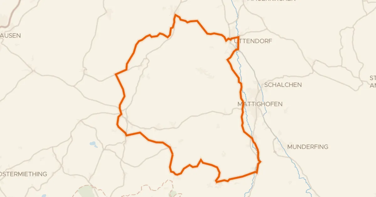
R201, Genussradtour Variante Mattighofen
58 km↑ 760 m21 km away
Gravel24% paved
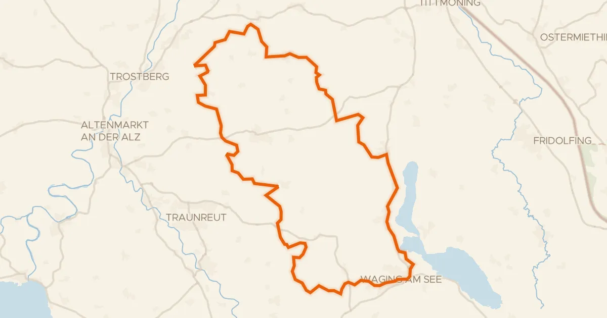
Rondje Schloss Gessenberg en Waginger See
58 km↑ 848 m21 km away