Back to the librarykm 5–6km 8–10km 79–81
Road bikeMade by RouteCasterRound trip
Rondje Egelseen en Schloss Sighartstein
Distance
81 km
Ascent
818 m
Highest point
627 m
99% paved
Start from your location
Ride there from home: we find the shortest way to the loop and start the loop from there.
The ride
Roll out from Parkeerplaats Naturschutzgebiet Egelseen and the ride unfolds past castle after castle. You spin by Schloss Teichstätt, follow the Schwemmbach, then greet Schloss Sighartstein before the Itzlinger Au nature reserve opens up. Schloss Radeck and the Mattig river round out the loop before you return to where you began. With 80.5 km and 818 m of climbing, it's a route that keeps unfolding.
Climbs
Climb 1Hill
0.8 km at 4.6% · max 6.3%
Climb 2Hill
1.2 km at 3.5% · max 8.6%
Climb 3Hill
1.7 km at 4.6% · max 13.7%
Routes nearby

Gravel47% paved
Rondje Siedelberg en Kobernaußerwald
60 km↑ 979 m11 km away

Road bike99% paved
Rondje Schloss Spaur en Mondsee
74 km↑ 1,044 m12 km away
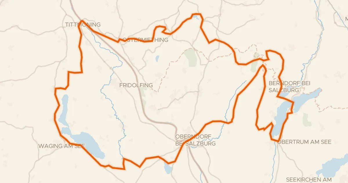
Road bike96% paved
Bajuwarentour
126 km↑ 1,526 m15 km away
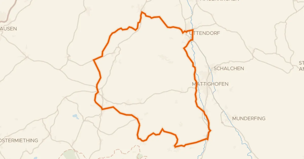
Road bike98% paved
R201, Genussradtour Variante Mattighofen
58 km↑ 760 m16 km away

Gravel43% paved
Rondje Schloss Mondsee en Vöckla
61 km↑ 1,670 m16 km away

Gravel19% paved
Rondje Irlacher Au en Salzach
67 km↑ 850 m18 km away