Back to the librarykm 25 · Apr 2026 · © PantheraLeo1359531 / Mapillary, CC BY-SA km 0–1km 3–4km 25–26km 26–27km 32–33km 42–43km 56–57
GravelRouteCasterRound trip
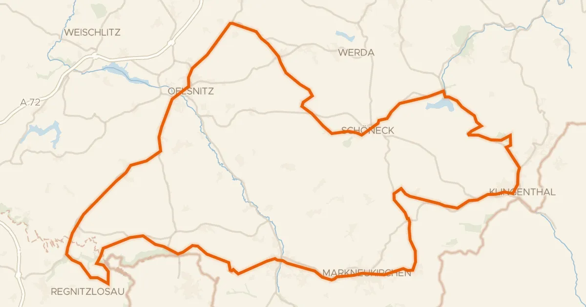
Rondje Himmelreich en Saale
Distance
58 km
Ascent
689 m
Highest point
611 m
36% paved
Start from your location
Ride there from home: we find the shortest way to the loop and start the loop from there.
The ride
Roll out from Parkeerplaats Himmelreich and let the ride unfold. First up is the An der Ullitz nature reserve, then you follow the Saale river, before rolling through the Sachsenwiese nature reserve and back past the Himmelreich nature reserve. Along the way you'll cover 57.5 km, with 689 m of climbing and a mix of surface types. It's a loop that starts and finishes in the same spot.
Along the way
Climbs
Climb 1Hill
1.2 km at 3.6% · max 10.4%
Climb 2Hill
0.7 km at 4% · max 7.1%
Climb 3Hill
1.3 km at 3.6% · max 7.9%
Climb 4Hill
0.9 km at 4.7% · max 16.8%
Climb 5Hill
1.1 km at 3.9% · max 6.6%
Climb 6Hill
0.6 km at 5.4% · max 9.8%
Climb 7Hill
0.7 km at 3.9% · max 6.5%
Routes nearby
Road bike100% paved
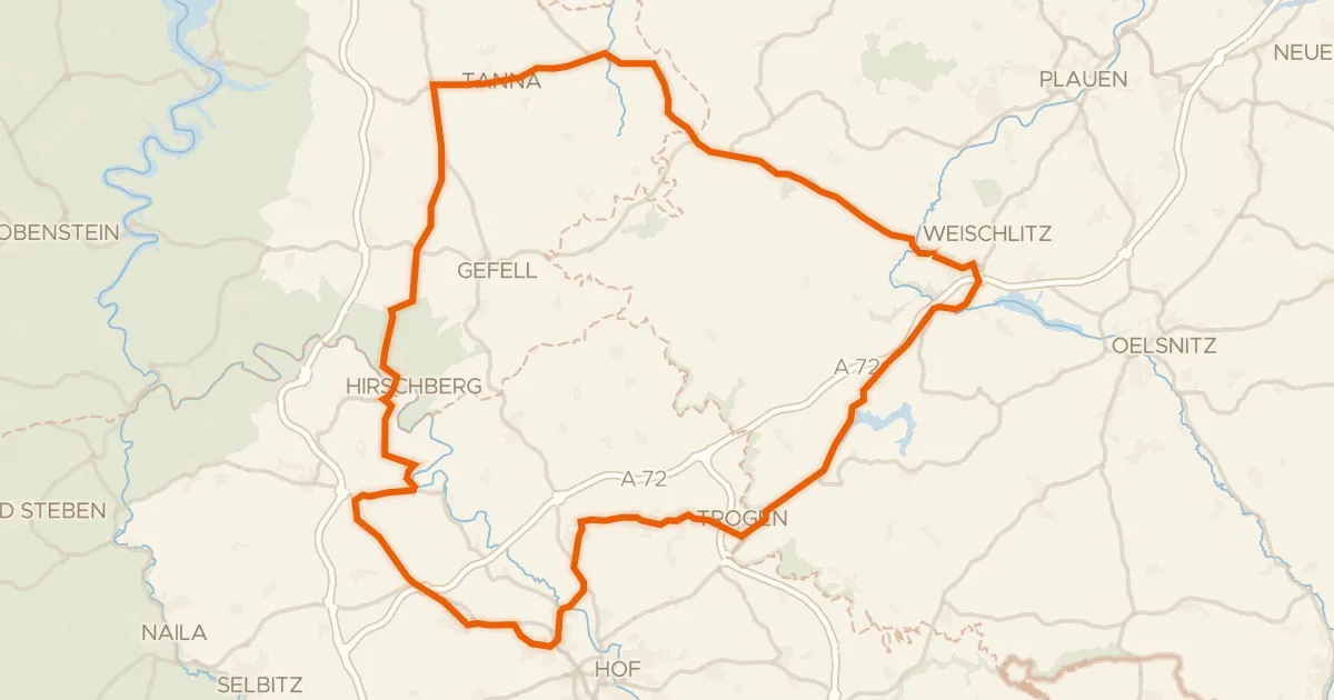
Rondje Schloss Hofeck en Saale
75 km↑ 1,134 m5 km away
Road bike100% paved
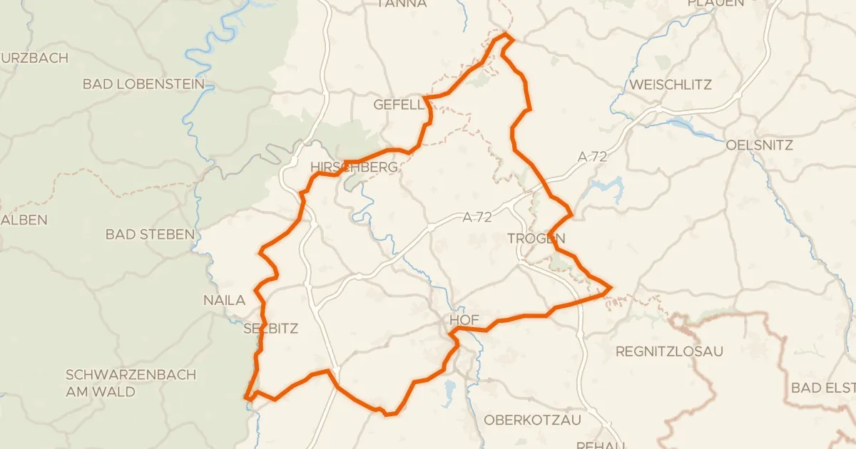
Rondje Schloss Hirschberg en Burgruine Wiedersberg
89 km↑ 1,153 m6 km away
Gravel23% paved
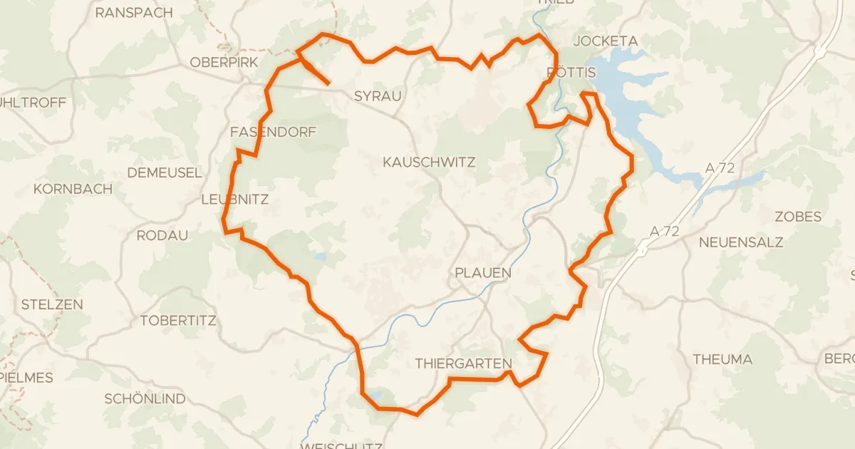
Rondje Holländerwindmühle Syrau en Elstersteilhänge
57 km↑ 1,075 m18 km away
Road bike100% paved
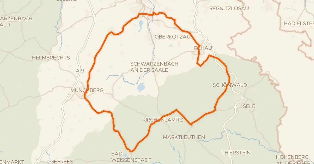
Rondje Schloss Sophienreuth en Waldsteingipfel
79 km↑ 998 m19 km away
Road bike96% paved
Rondje Goldberg en Südliche Regnitz und Zinnbach
99 km↑ 1,610 m21 km away

Touring85% paved
Durch Bayerns steinreiche Ecke
211 km↑ 3,509 m22 km away