Back to the librarykm 2–3km 5–5km 6–7km 8–9km 11–14km 14–15km 19–20km 47–48km 55–58km 59–60
GravelRouteCasterRound trip
Rondje Hermelenstein en Leiberger Wald
Distance
60 km
Ascent
1,004 m
Highest point
517 m
37% paved
Start from your location
Ride there from home: we find the shortest way to the loop and start the loop from there.
The ride
Roll out from Parkeerplaats Kapellenstein and let the ride unfold. First up is the Eselsbruch/Harlebachsystem nature reserve, then into the Leiberger Wald nature reserve. Next comes the Fledermausstollen am Thülener Stein nature reserve, before the Hermelenstein nature reserve. With 60.1 km and 1004 m of climbing, and the loop closing back at Kapellenstein.
Climbs
Climb 1Hill
0.8 km at 5.7% · max 14.6%
Climb 2Hill
0.6 km at 4.4% · max 9.7%
Climb 3Hill
0.8 km at 7.5% · max 13.6%
Climb 4Hill
0.6 km at 4.4% · max 8%
Climb 5Cat. 4
2.6 km at 5.4% · max 13%
Climb 6Hill
0.5 km at 7.5% · max 10.9%
Climb 7Hill
1.2 km at 4.7% · max 15.9%
Climb 8Hill
1 km at 4.6% · max 10.9%
Climb 9Cat. 4
2.8 km at 3.2% · max 9.2%
Climb 10Hill
0.8 km at 3.3% · max 5.2%
Routes nearby
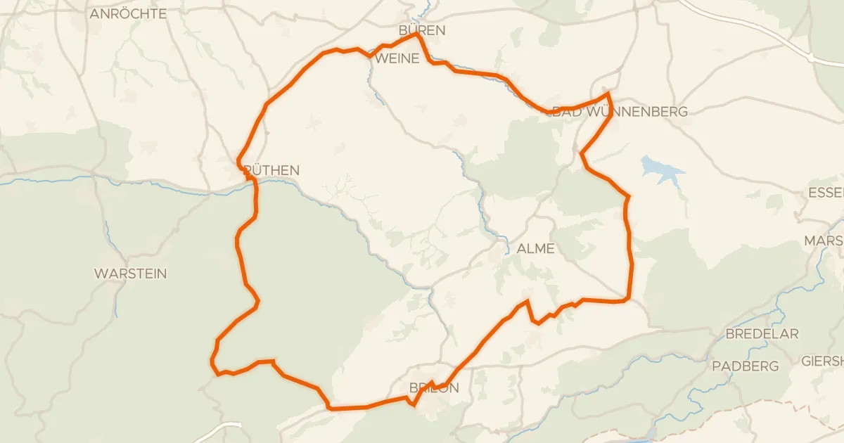
Road bike100% paved
Rondje Gericht en Drei Steine
75 km↑ 848 m4 km away
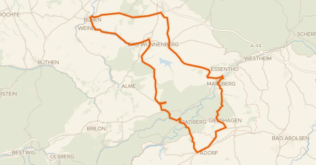
Road bike99% paved
Rondje Schloss Padberg en Mittelmühle
89 km↑ 1,040 m10 km away
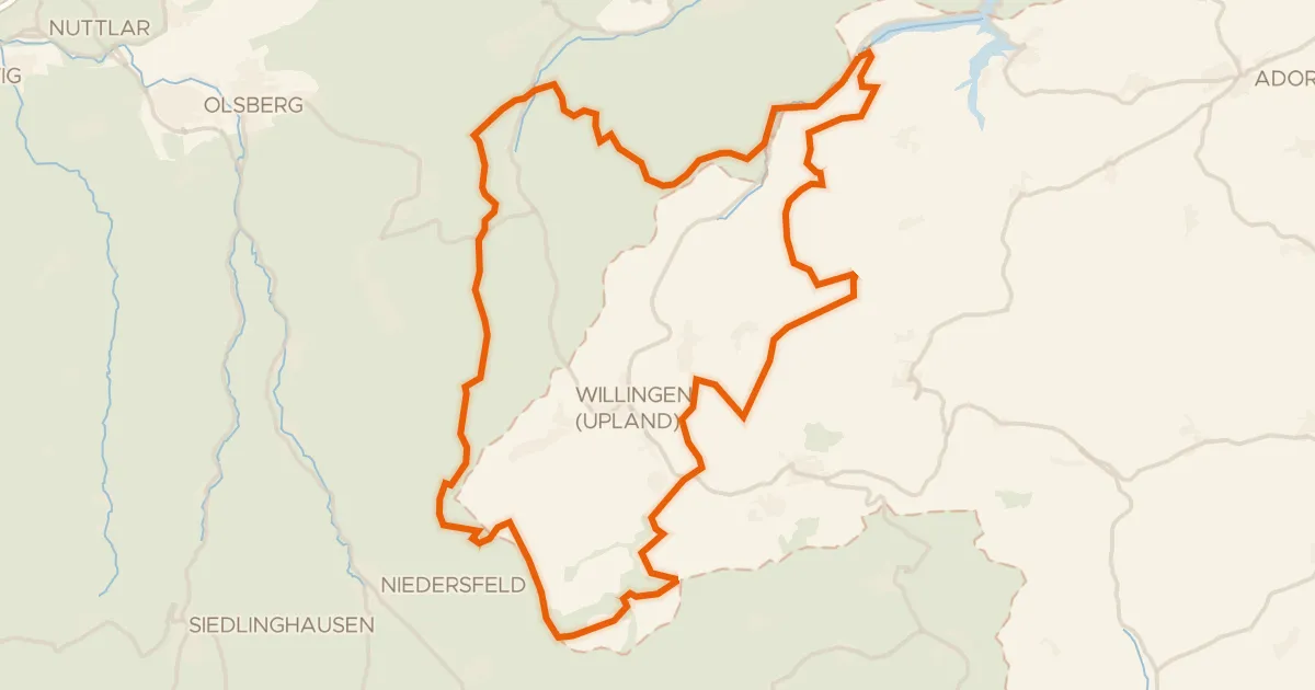
Gravel8% paved
Rondje Diemelsee en Jägers Weinberg
56 km↑ 1,328 m14 km away
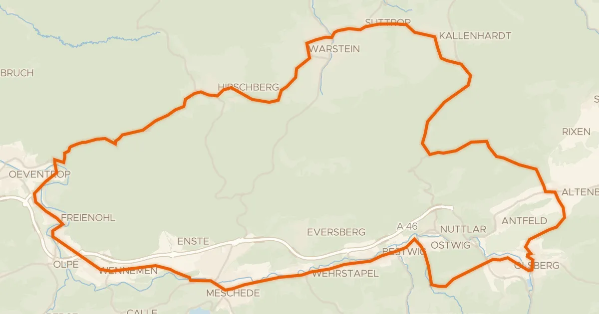
Road bike99% paved
Rondje Wasserschloss Laer en Schloss Gevelinghausen
75 km↑ 1,167 m18 km away
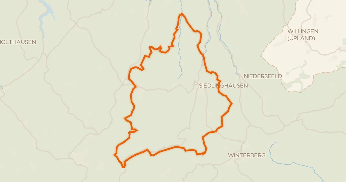
Gravel16% paved
Rondje Schloss Wildenberg en Hausstätte
59 km↑ 1,849 m23 km away
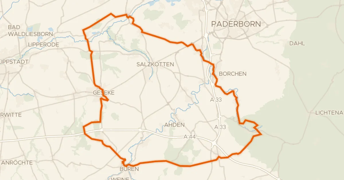
Road bike99% paved
Rondje Ettelner Burg en Boker Heide
86 km↑ 673 m24 km away