Back to the librarykm 2 · Sep 2024 · © marczoutendijk / Mapillary, CC BY-SA km 31 · Oct 2022 · © saschahaberkorn / Mapillary, CC BY-SA km 63 · Jul 2026 · © zuse / Mapillary, CC BY-SA km 74 · Apr 2025 · © nrailuj / Mapillary, CC BY-SA km 9–10km 40–42
Road bikeRouteCasterRound trip
Rondje Ettelner Burg en Boker Heide
Distance
86 km
Ascent
673 m
Highest point
397 m
99% paved
Start from your location
Ride there from home: we find the shortest way to the loop and start the loop from there.
The ride
From Parkeerplaats Ziegenberg you roll out for 86,5 km, nearly all of it on paved surface. First comes Ettelner Burg, a castle, then the Wälder bei Büren nature reserve, followed by the Steinbrüche Gröne and Rabbruch und Osternheuland reserves. With 673 m of climbing along the way, you finish through the Boker Heide nature reserve and back at the start.
Along the way
Climbs
Climb 1Hill
1.2 km at 3.4% · max 8.3%
Climb 2Cat. 4
2.7 km at 3.4% · max 14.6%
Routes nearby
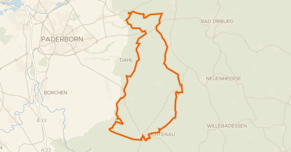
Gravel48% paved
Rondje Eselsbett und Schwarzes Bruch en Sauertal
60 km↑ 911 m15 km away
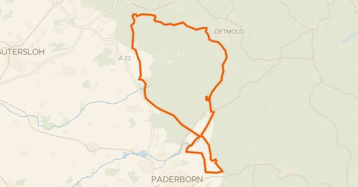
Road bike100% paved
Rondje Burg Lippspringe en Moosheide
90 km↑ 780 m18 km away
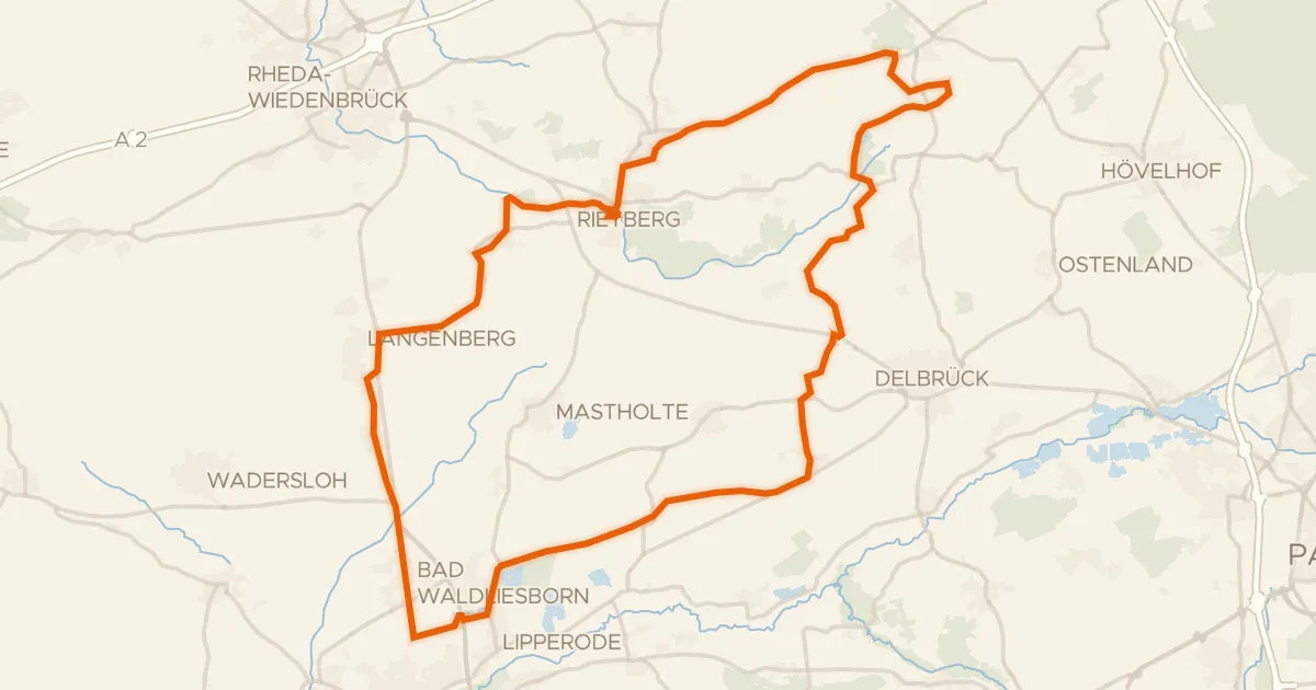
Gravel71% paved
Rondje Zachariassee en Emssee
69 km↑ 149 m19 km away
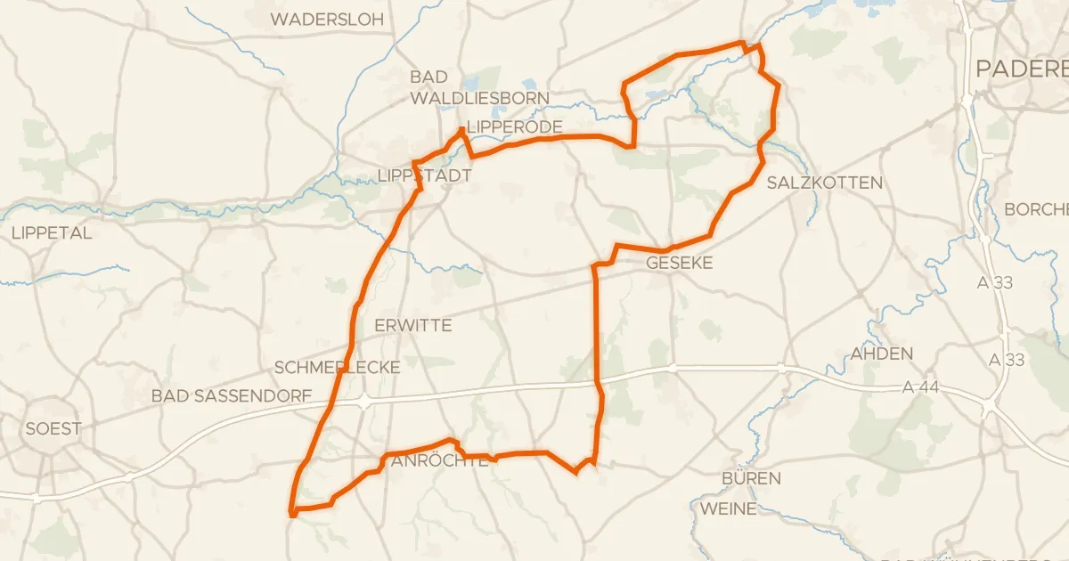
Road bike98% paved
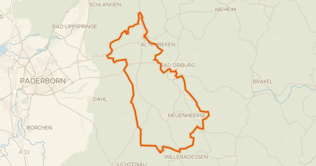
Rondje Schloss Eringerfeld en Boker Heide
85 km↑ 409 m19 km away
Gravel36% paved
Rondje Untermühle en Kaiser-Karls-Turm
75 km↑ 1,334 m21 km away
Road bike99% paved
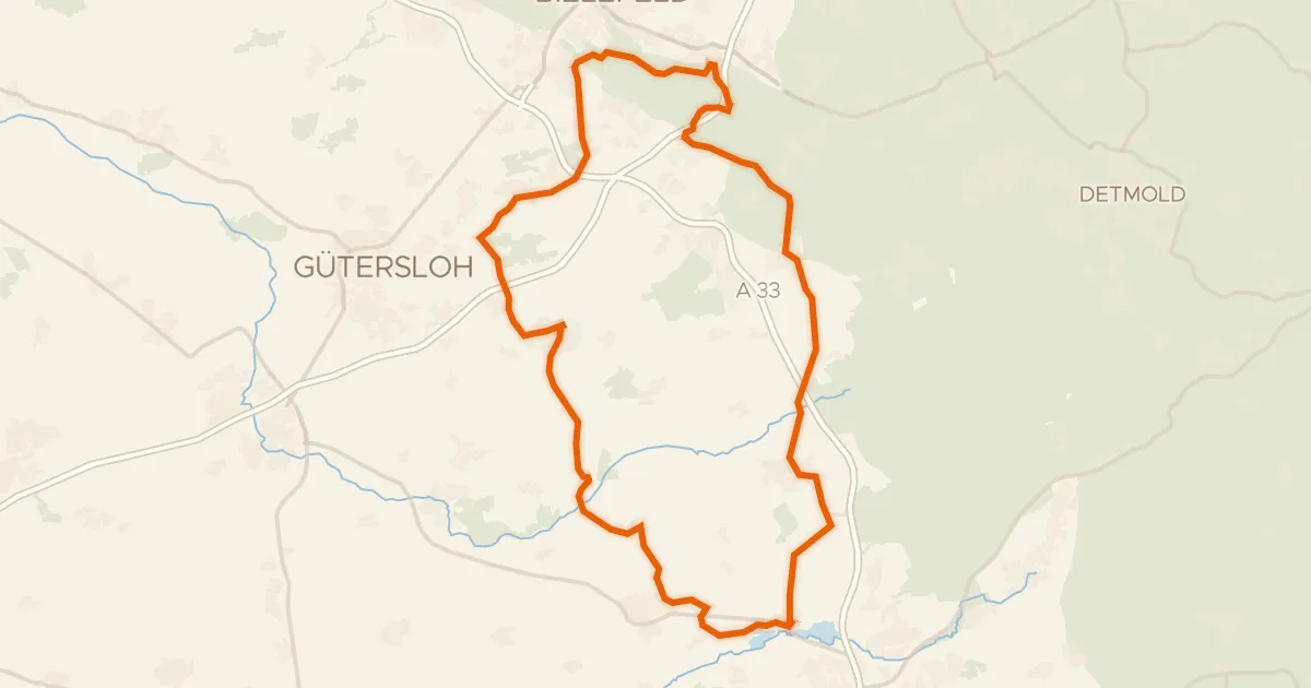
Rondje Moosheide en Wehrbachtal
88 km↑ 472 m22 km away