Back to the librarykm 1–4km 8–17km 26–31km 32–34km 39–46km 47–49km 53–54
Road bikeMade by RouteCasterRound trip
Rondje Fort Barraux en Le Bréda
Distance
82 km
Ascent
2,637 m
Highest point
1,449 m
99% paved
Start from your location
Ride there from home: we find the shortest way to the loop and start the loop from there.
The ride
Roll out of Pontcharra and follow the Bréda and the Isère before Fort Barraux rises beside the road. Then the Chartreuse unfolds: through the Parc naturel régional and on toward the Réserve naturelle des Hauts de Chartreuse. It's 82.1 km with 2637 m of climbing, almost all on paved surface, and it brings you back to where you started.
Climbs
Climb 1Cat. 4
3.4 km at 3.1% · max 10.1%
Col du GranierHC
8.8 km at 9.6% · max 26.6%
Climb 3Cat. 2
5.4 km at 6.1% · max 37.7%
Col du CucheronCat. 3
2.5 km at 8.9% · max 16.6%
Climb 5Cat. 2
7.4 km at 6.9% · max 37.9%
Col du CoqCat. 3
2.1 km at 10% · max 18.6%
Climb 7Hill
1.6 km at 4.3% · max 9.8%
Routes nearby

Gravel15% paved
Rondje Château de la Rochette en Fort de Montgilbert
55 km↑ 2,682 m15 km away

Road bike100% paved
Rondje Château de Boigne en La Leysse
80 km↑ 2,356 m15 km away
Road bike100% paved
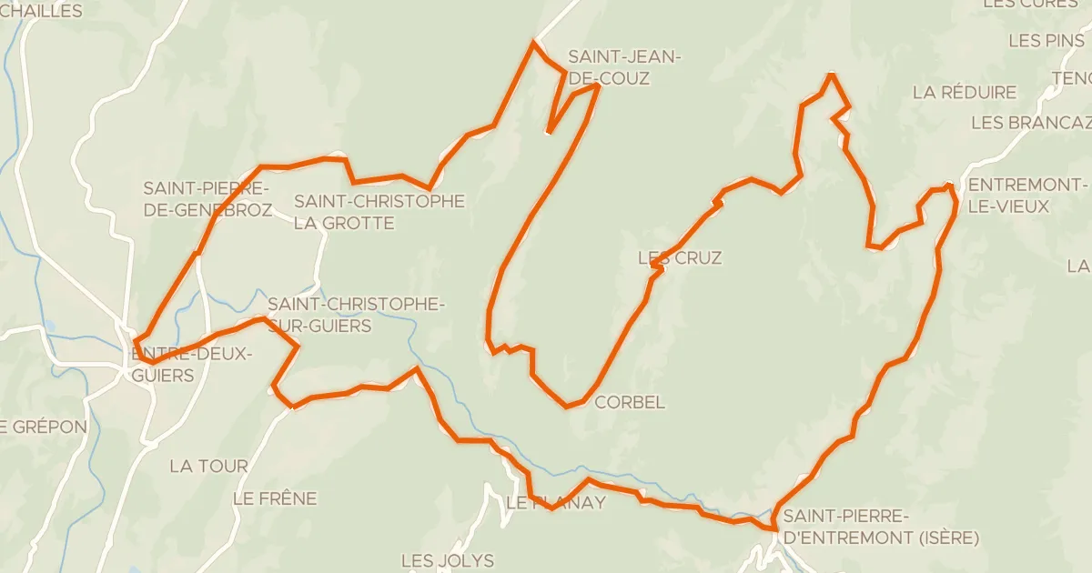
Circuit des Entremonts
44 km↑ 1,680 m16 km away
Col des Égaux · Col de Couz

Gravel20% paved
Rondje Tour de Montfallet en L'Isère
44 km↑ 2,206 m16 km away
Road bike100% paved
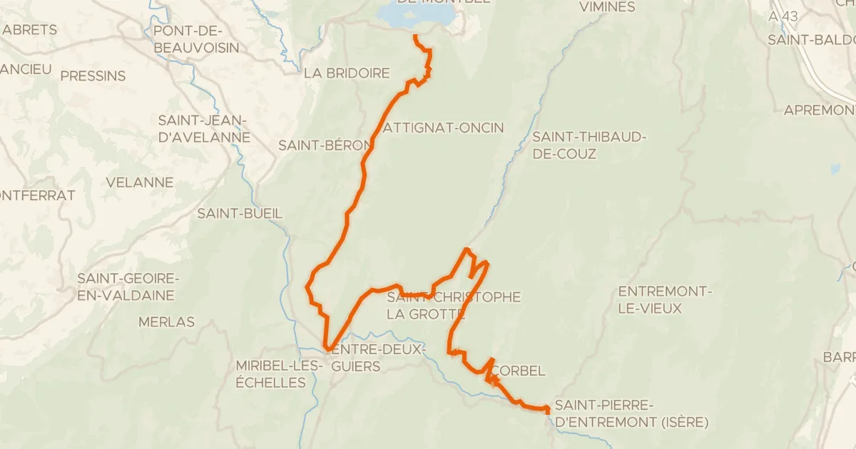
P'tites Routes du Soleil, étape 7, Lépin-le-Lac / Saint-Pierre-d'Entremont
36 km↑ 1,164 m18 km away
Col des Égaux · Col de Couz

Road bike99% paved
Rondje Château de Carron en La Leysse
75 km↑ 1,666 m19 km away