Back to the librarykm 0–11km 33–40km 51–51km 52–52km 54–54km 55–55km 56–56km 61–66km 74–74
Road bikeMade by RouteCasterRound trip
Rondje Château de Boigne en La Leysse
Distance
80 km
Ascent
2,356 m
Highest point
1,136 m
100% paved
Start from your location
Ride there from home: we find the shortest way to the loop and start the loop from there.
The ride
From the parking at the Aiguebelette lake nature reserve, this 79.9 km loop rolls out past the Chartreuse nature reserve and along the La Leysse river. You pass Château de Boigne, climb on toward the Hauts de Chartreuse nature reserve, and skirt Château de Montbel before heading back to where you started. Every metre is paved, with 2356 m of climbing along the way.
Climbs
Col de l'ÉpineCat. 2
10.7 km at 5.8% · max 26.6%
Col du GranierCat. 1
7.8 km at 9.8% · max 25.6%
Climb 3Cat. 4
0.3 km at 40.1% · max 58.9%
Climb 4Hill
0.2 km at 15.7% · max 28.2%
Climb 5Hill
0.1 km at 33.4% · max 33.4%
Climb 6Cat. 4
0.2 km at 50.7% · max 81%
Climb 7Hill
0.3 km at 12.6% · max 19%
Climb 8Cat. 4
4.9 km at 3.2% · max 8.1%
Climb 9Hill
0.7 km at 4.2% · max 9.3%
Routes nearby
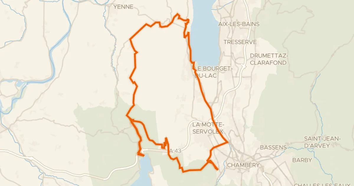
Road bike100% paved
Traversée de l'Épine
69 km↑ 1,928 m8 km away
Col de l'Épine · Col du Chat
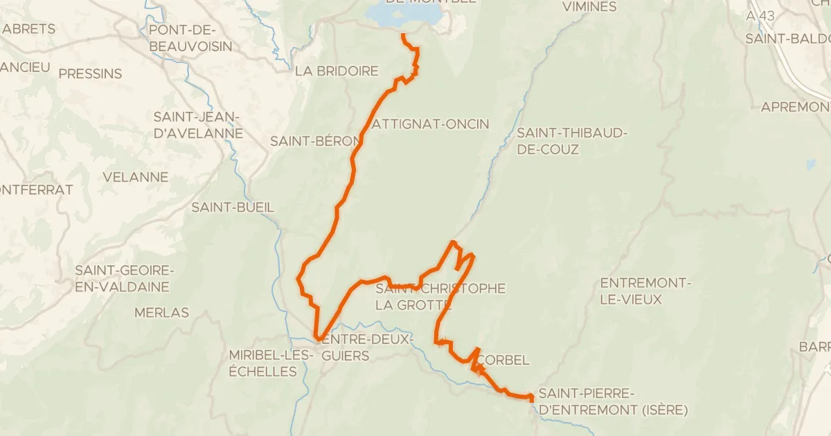
Road bike100% paved
P'tites Routes du Soleil, étape 7, Lépin-le-Lac / Saint-Pierre-d'Entremont
36 km↑ 1,164 m10 km away
Col des Égaux · Col de Couz
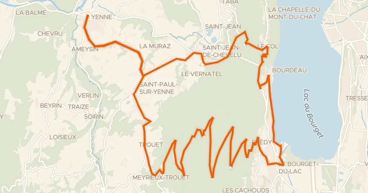
Road bike100% paved
Tour de la Dent du Chat
54 km↑ 2,020 m12 km away
Col du Chat · La Cour
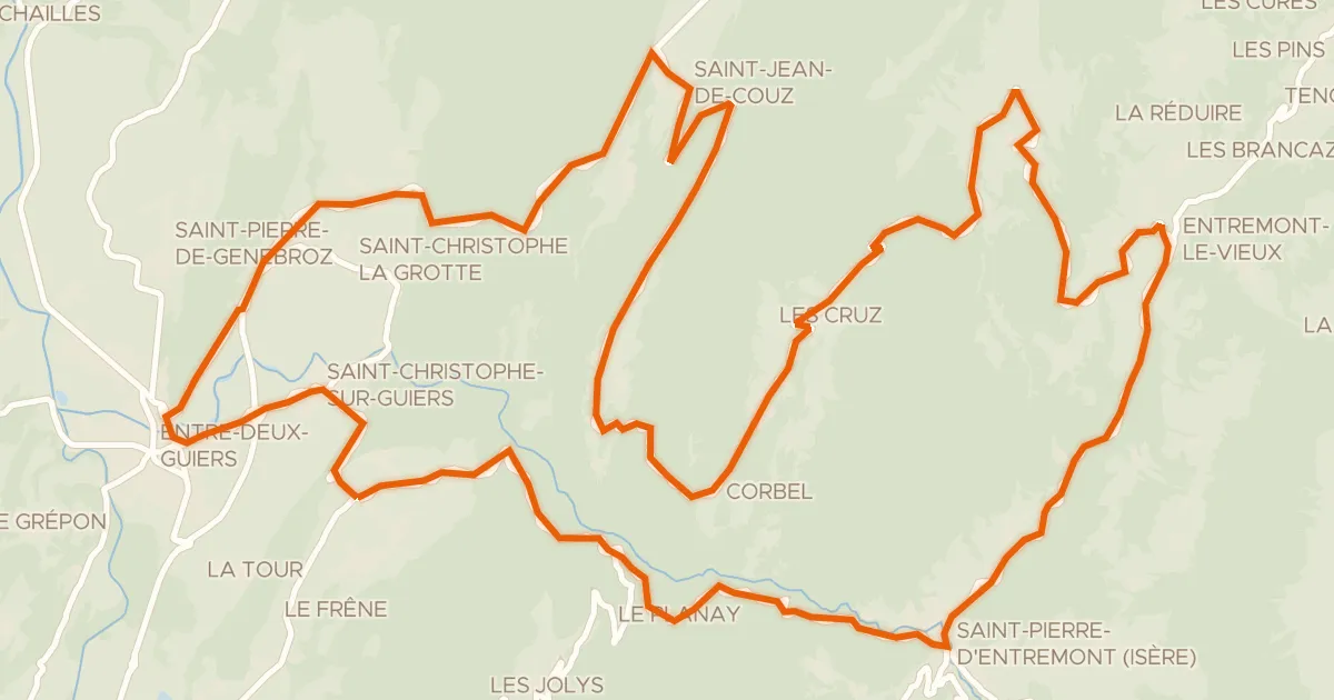
Road bike100% paved
Circuit des Entremonts
44 km↑ 1,680 m14 km away
Col des Égaux · Col de Couz

Gravel38% paved
Rondje Parc naturel régional de Chartreuse en Le Guiers Mort
60 km↑ 2,228 m17 km away

Road bike99% paved
Rondje Château de Carron en La Leysse
75 km↑ 1,666 m21 km away