Back to the librarykm 11 · Oct 2021 · © ray66 / Mapillary, CC BY-SA km 33 · Oct 2021 · © ray66 / Mapillary, CC BY-SA km 62 · Jun 2019 · © rausk / Mapillary, CC BY-SA km 57–59
Road bikeRouteCasterRound trip
Rondje Flusslandschaft Donauwiesen en Warmtal
Distance
76 km
Ascent
790 m
Highest point
753 m
100% paved
Start from your location
Ride there from home: we find the shortest way to the loop and start the loop from there.
The ride
Roll out of Offingen and the kilometres start ticking towards 76.2. The route stays paved the whole way, climbing 790 m as it threads past the Kirchhalde nature reserve and on to the Heusteige. Next comes the Warmtal nature reserve, then the Flusslandschaft Donauwiesen, before the road turns you back to Offingen.
Along the way
Climbs
Climb 1Cat. 4
1.8 km at 4.7% · max 17%
Routes nearby
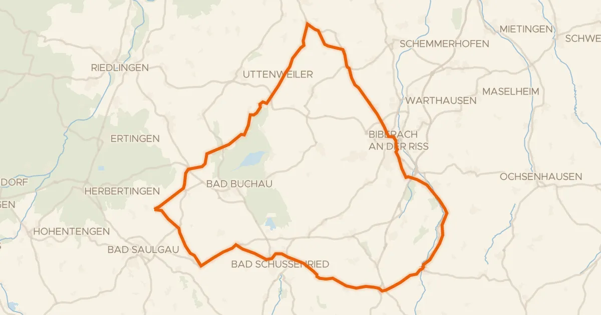
Road bike100% paved
Rondje Federsee en Riß
82 km↑ 910 m12 km away
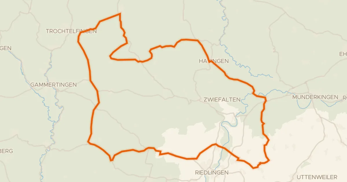
Road bike98% paved
Rondje Burg Rechtenstein en Burgruine Bussen
91 km↑ 1,190 m14 km away
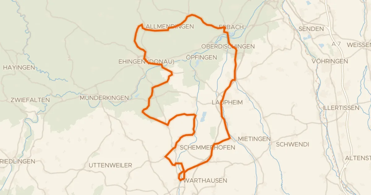
Road bike99% paved
Rondje Schloss Allmendingen en Mohn'scher Park
89 km↑ 595 m21 km away
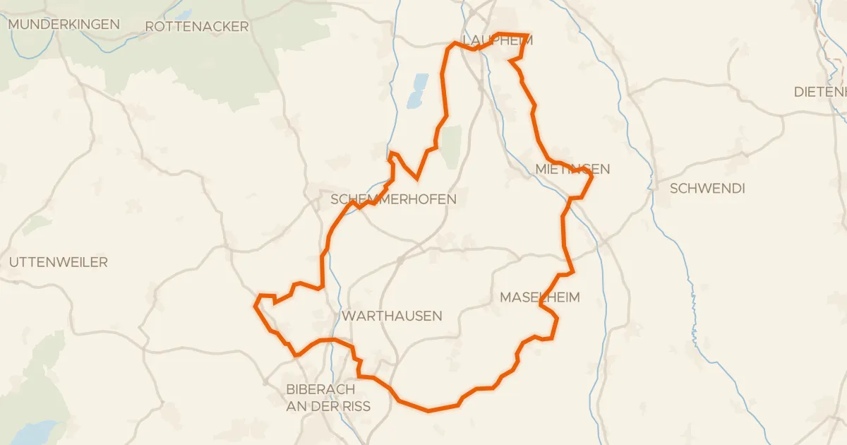
Gravel38% paved
Rondje Schloss Großlaupheim en Riß
64 km↑ 496 m21 km away
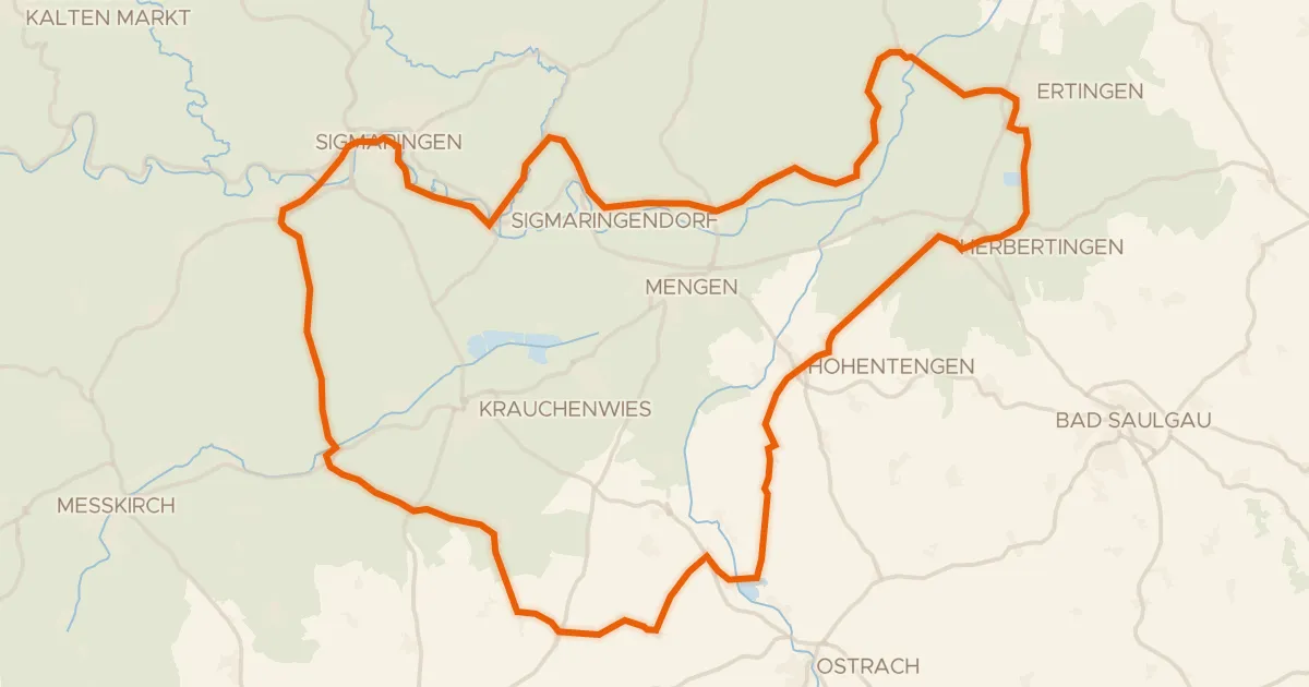
Road bike99% paved
Rondje Schloss Sigmaringen en Naturpark Obere Donau
77 km↑ 755 m22 km away
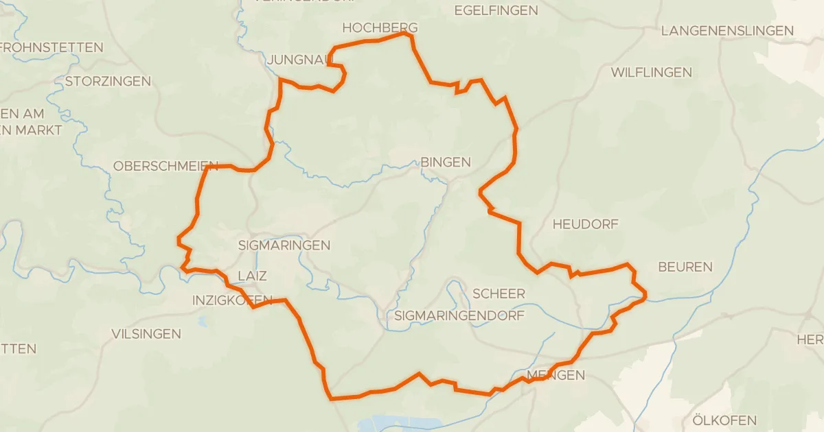
Gravel19% paved
Rondje Ruine Hertenstein en Naturpark Obere Donau
60 km↑ 822 m22 km away