Back to the librarykm 48 · Dec 2018 · © ramap / Mapillary, CC BY-SA km 0–1km 29–31km 31–32km 33–33km 35–36km 39–41km 42–45km 45–46km 48–50
GravelRouteCasterRound trip
Rondje Felsenburg en Walkmühle
Distance
62 km
Ascent
931 m
Highest point
464 m
24% paved
Start from your location
Ride there from home: we find the shortest way to the loop and start the loop from there.
The ride
Roll out of Buchfart and let the ride unfold: past the Felsenburg castle, then along the Ilm river, and by the Walkmühle watermill before the route turns for home. It's 62.0 km with 931 m of climbing, and most of it runs unpaved. The mix keeps things interesting from start to finish back in Buchfart.
Along the way
Climbs
Climb 1Cat. 4
1.2 km at 10% · max 26.3%
Climb 2Hill
1.2 km at 3.7% · max 6.4%
Climb 3Hill
1.4 km at 3.6% · max 9.7%
Climb 4Hill
0.5 km at 5.7% · max 10.3%
Climb 5Hill
1.1 km at 3.5% · max 6.8%
Climb 6Cat. 4
2.5 km at 3.9% · max 14%
Climb 7Cat. 4
2.5 km at 3.6% · max 20.9%
Climb 8Hill
0.4 km at 13.4% · max 30.6%
Climb 9Cat. 4
2.6 km at 3.9% · max 8.2%
Routes nearby
Road bike99% paved
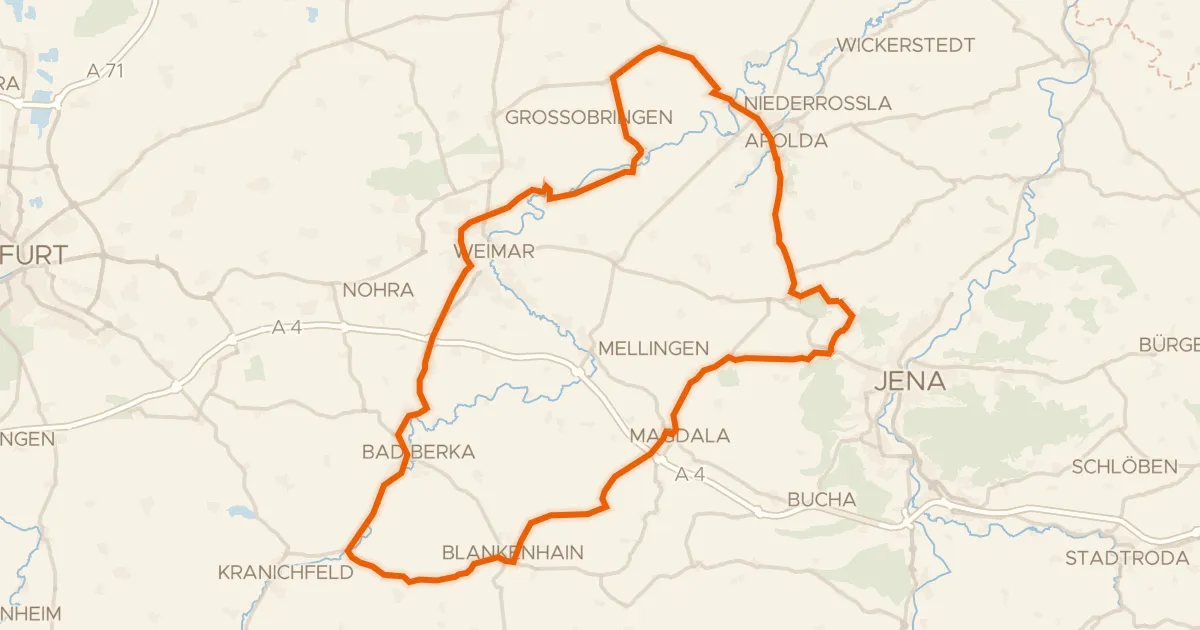
Rondje Burg Tannroda en Windknollen
84 km↑ 1,034 m6 km away
Gravel24% paved
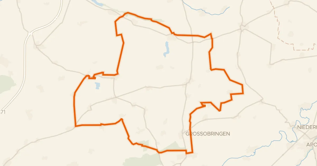
Rondje Wasserburg Ollendorf en Südhang Ettersberg
64 km↑ 533 m17 km away
Gravel22% paved
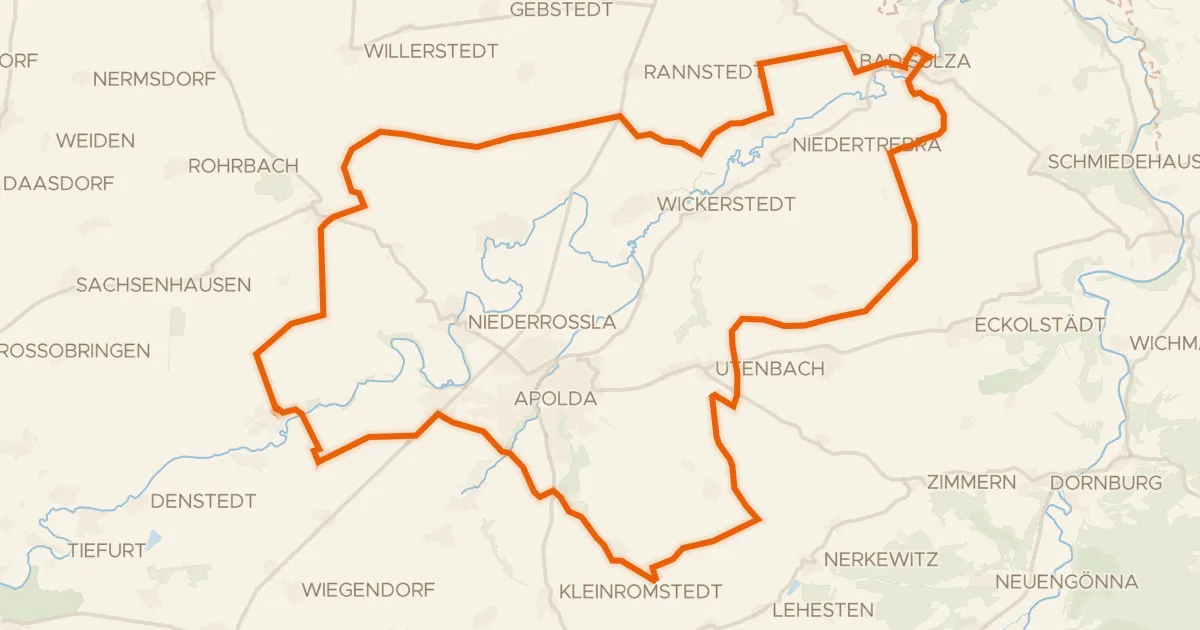
Rondje Schötener Grund en Ilm
57 km↑ 575 m19 km away
Gravel29% paved
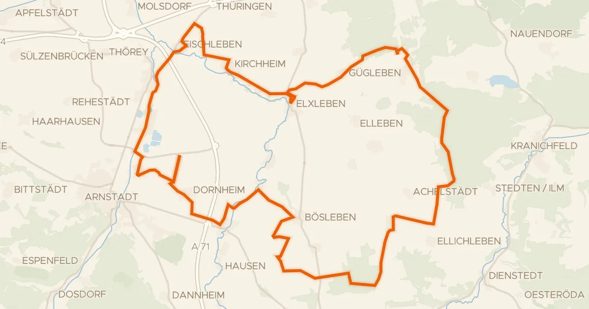
Rondje Wehrkirche Dornheim en Gera
58 km↑ 521 m21 km away
Gravel9% paved
Rondje Herzogstuhl en Uhlstädter Heide
58 km↑ 1,379 m23 km away
Road bike100% paved
Rondje langs de Leuchtenburg en de Saale
68 km↑ 901 m30 km away