Back to the librarykm 13–14km 26–27km 33–35km 40–42km 50–51
GravelRouteCasterRound trip
Rondje Schötener Grund en Ilm
Distance
57 km
Ascent
575 m
Highest point
325 m
22% paved
Start from your location
Ride there from home: we find the shortest way to the loop and start the loop from there.
The ride
Roll out of Bad Sulza and let the ride unfold. The route runs 57.5 km, mostly unpaved, past the Ilm river and through Schötener Grund nature reserve. With 575 m of climbing, it keeps things interesting before bringing you back to Bad Sulza.
Climbs
Climb 1Hill
0.5 km at 5.2% · max 6.4%
Climb 2Hill
0.7 km at 3.8% · max 5.3%
Climb 3Cat. 4
2.3 km at 4% · max 7.8%
Climb 4Hill
1.9 km at 3.1% · max 9.9%
Climb 5Hill
0.7 km at 4.2% · max 7.5%
Routes nearby
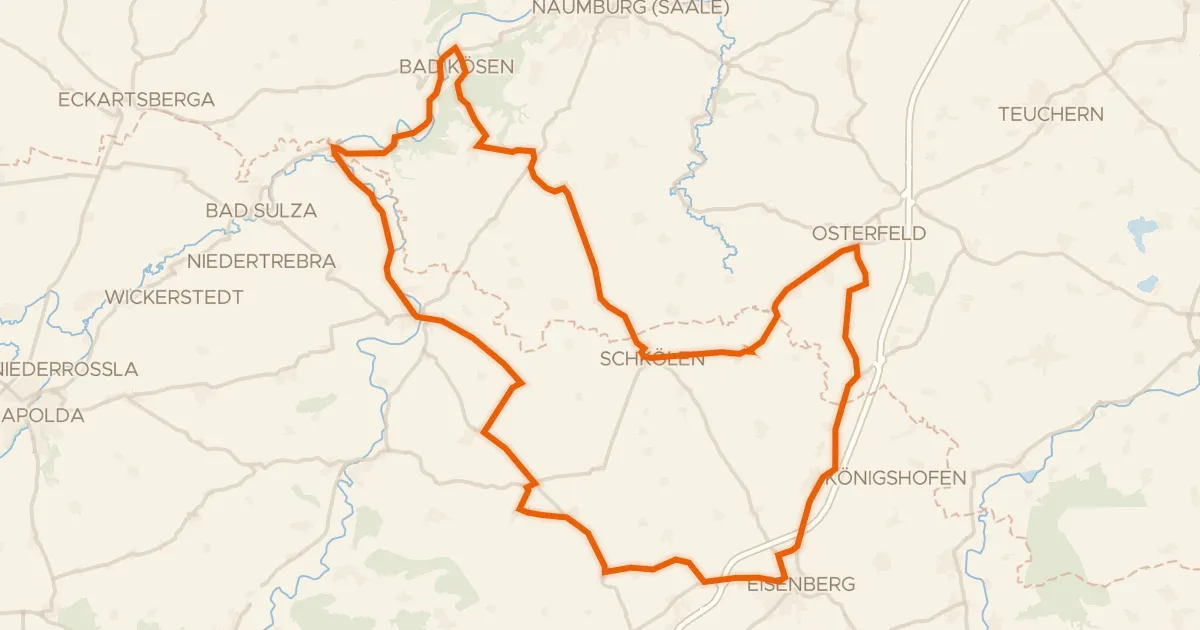
Road bike101% paved
Rondje langs de Saale en de Ilm
77 km↑ 768 m13 km away
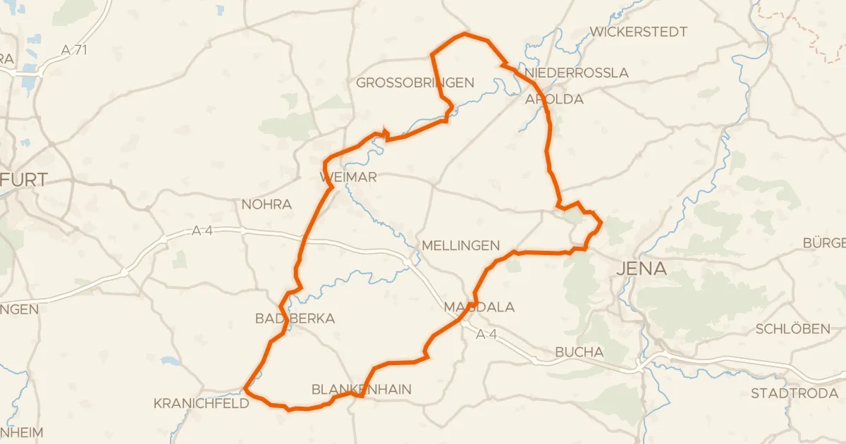
Road bike99% paved
Rondje Burg Tannroda en Windknollen
84 km↑ 1,034 m21 km away
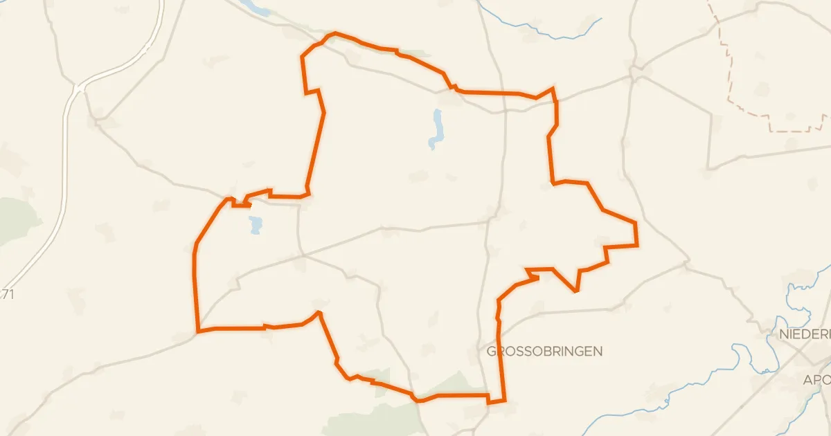
Gravel24% paved
Rondje Wasserburg Ollendorf en Südhang Ettersberg
64 km↑ 533 m22 km away
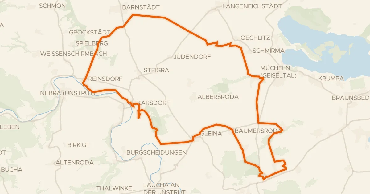
Gravel40% paved
Rondje Neue Göhle en Unstrut
59 km↑ 394 m23 km away
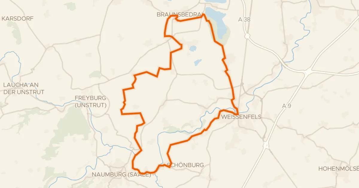
Gravel54% paved
Rondje Burg Schönburg en Großkaynaer See
57 km↑ 492 m24 km away
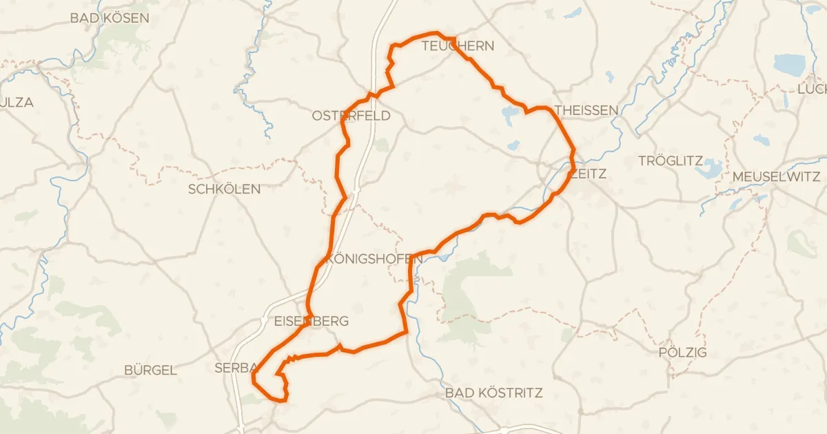
Road bike99% paved
Rondje langs Schloss Moritzburg en Weiße Elster
76 km↑ 669 m27 km away