Back to the librarykm 10 · May 2021 · © flohoff / Mapillary, CC BY-SA km 52 · Jun 2026 · © mfa / Mapillary, CC BY-SA km 55 · Jun 2026 · © mfa / Mapillary, CC BY-SA km 19–21km 29–31km 44–46km 51–53km 65–68
Road bikeRouteCasterRound trip
Rondje Dörnberg en Ostheimer Hute
Distance
71 km
Ascent
881 m
Highest point
375 m
100% paved
Start from your location
Ride there from home: we find the shortest way to the loop and start the loop from there.
The ride
Roll out from Parkeerplaats Dörnberg and let the road carry you through the Warmberg-Osterberg nature reserve, then on past the Ostheimer Hute nature reserve. The Keischel bei Weimar nature reserve comes next, before the Dörnberg nature reserve brings you full circle. All 70.9 km are paved, with 881 m of climbing along the way, and the ride finishes back where it started.
Along the way
Climbs
Climb 1Cat. 4
2.3 km at 6.1% · max 20.2%
Climb 2Cat. 4
2.2 km at 3.8% · max 12.9%
Climb 3Hill
1.3 km at 3.2% · max 6.9%
Climb 4Cat. 4
2.4 km at 3.7% · max 6.8%
Climb 5Cat. 4
2.5 km at 4.9% · max 17.4%
Routes nearby
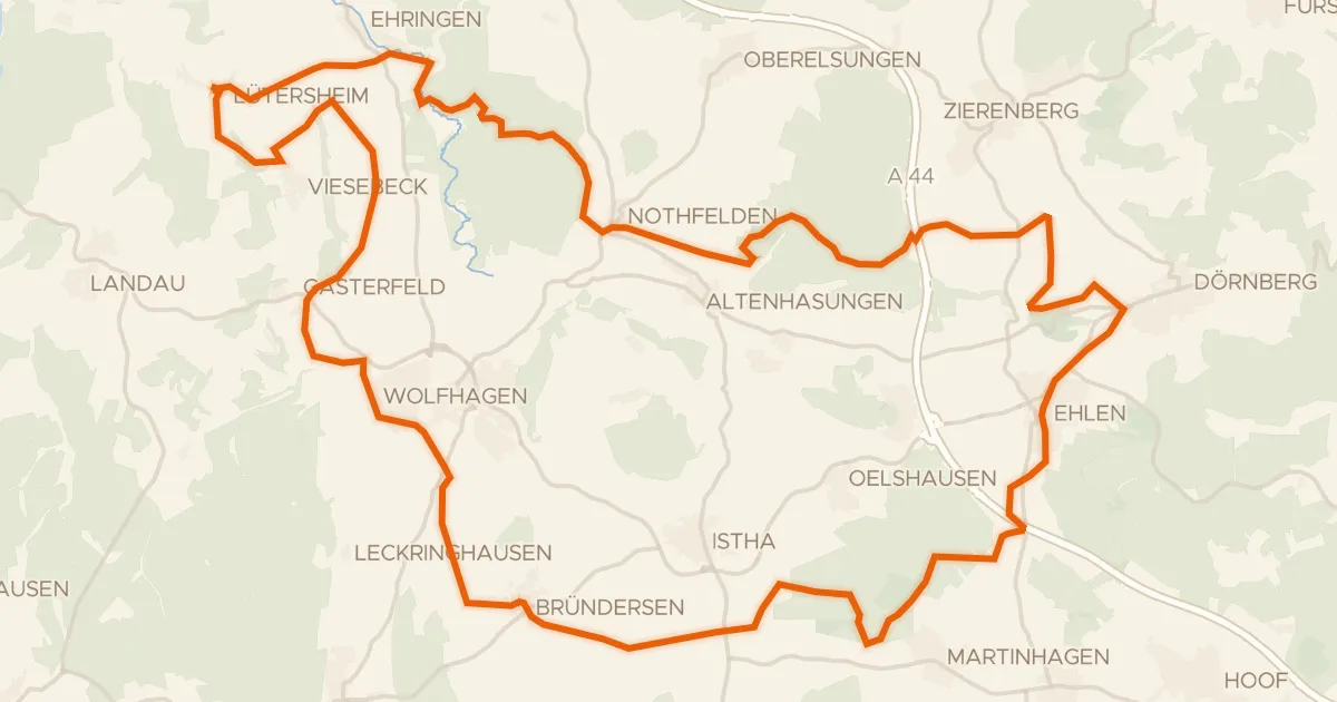
Gravel42% paved
Rondje Burgruine Rodersen en Wünne bei Viesebeck
61 km↑ 851 m7 km away
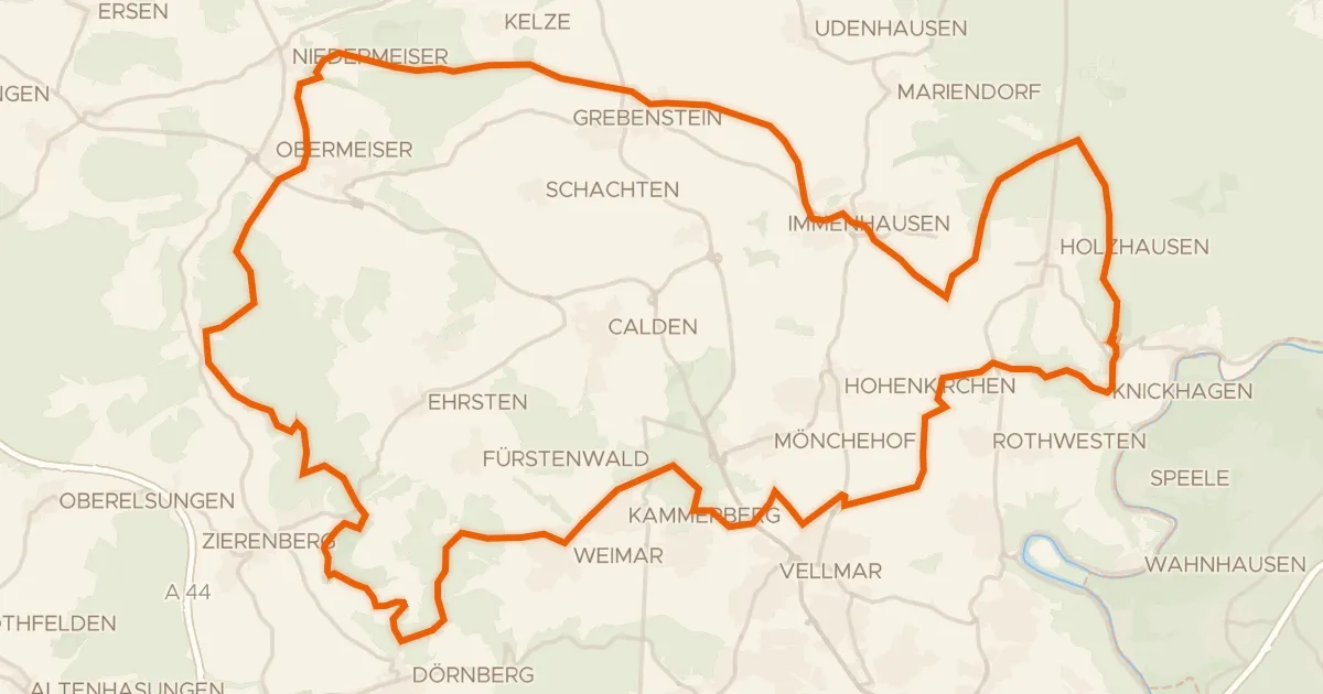
Gravel30% paved
Rondje Keischel bei Weimar en Dörnberg
77 km↑ 1,436 m9 km away
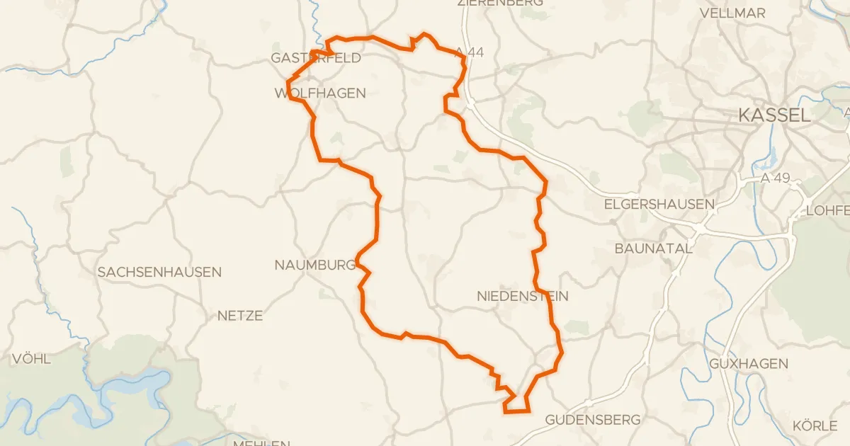
Gravel27% paved
Rondje Wasserschloss en Wartberg bei Kirchberg
74 km↑ 1,346 m12 km away
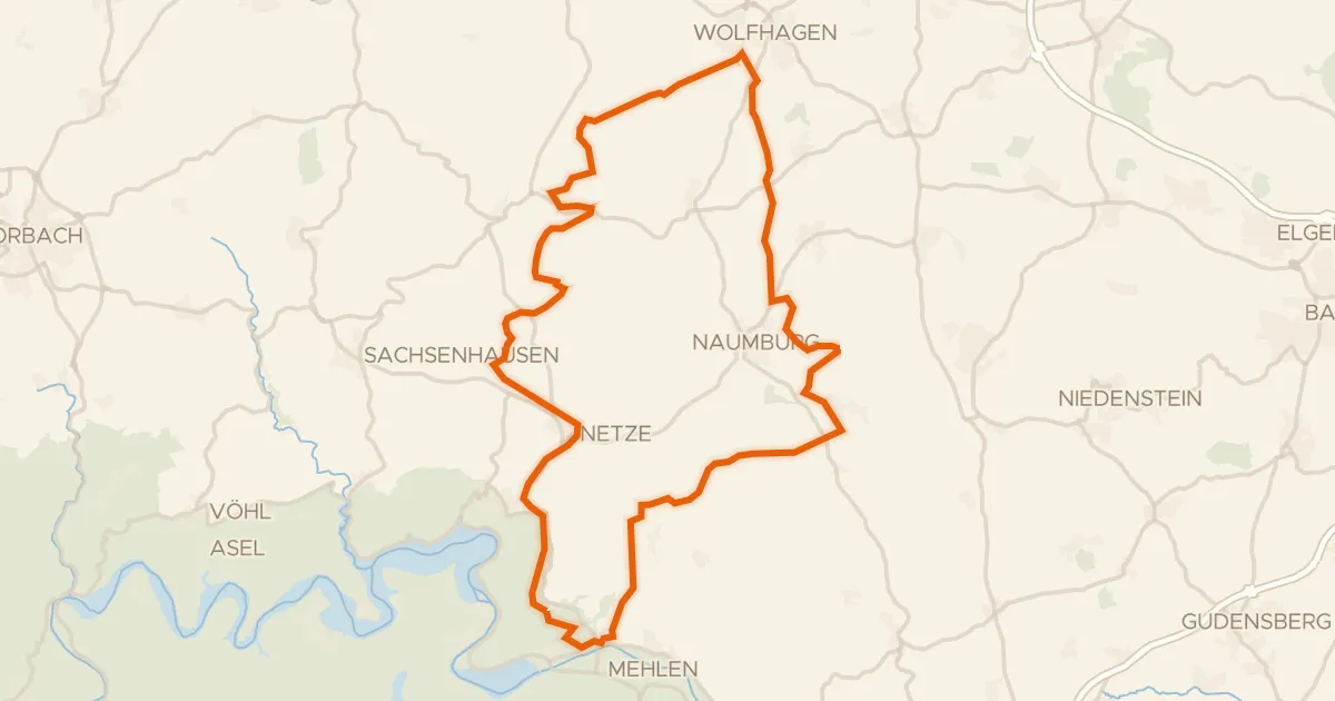
Gravel45% paved
Rondje Zechsteinhänge bei Lieschensruh en Eder
59 km↑ 978 m18 km away
Gravel39% paved
Rondje Schwiemelkopf en Rösebecker Bruch
56 km↑ 745 m22 km away
Road bike98% paved
Rondje Schloss Canstein en Schanzenberg bei Korbach
94 km↑ 1,451 m26 km away