Back to the librarykm 1–11km 23–25km 31–43km 44–45
Road bikeMade by RouteCasterRound trip
Rondje Citadelle de Saint-Florent en L'Aliso
Distance
58 km
Ascent
1,347 m
Highest point
555 m
99% paved
Start from your location
Ride there from home: we find the shortest way to the loop and start the loop from there.
The ride
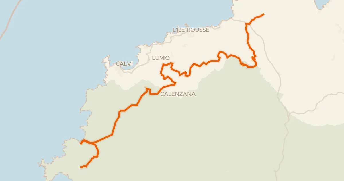
Roll out of Saint-Florent and climb past the Citadelle before the road skirts the Cap Corse nature reserve. Two palaces and a château follow, with the Bevinco and Aliso rivers breaking up the climbing. With 58.1 km and 1347 m of elevation, the pedals keep turning.
Climbs
Climb 1Cat. 2
10.2 km at 5.4% · max 36.8%
Climb 2Hill
1.6 km at 3.2% · max 7.8%
Climb 3Cat. 2
12.4 km at 3.4% · max 16.8%
Col de Santo StefanoHill
1 km at 5.3% · max 8.3%
Routes nearby
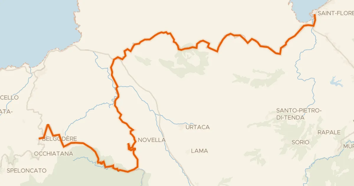
Road bike100% paved
GT20 / Étape 3 : San Fiurenzu - Belgude
61 km↑ 1,763 m13 km away
Bocca di Vezzu · Col de San Colombano
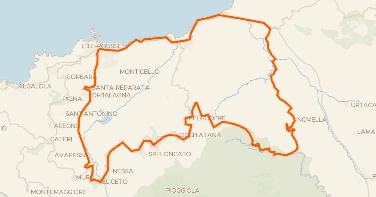
Road bike100% paved
Grand tour des Pieve
79 km↑ 1,705 m25 km away
Col de San Colombano · Col de Casella
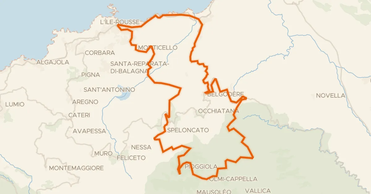
Road bike100% paved
Col de Battaglia
70 km↑ 1,857 m27 km away
Bocca di Battaglia · Col de Casella
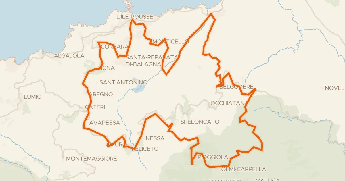
Road bike100% paved
Tour de la Haute Balagne
89 km↑ 2,176 m29 km away
Bocca di Battaglia · Col de Casella

Gravel61% paved
Rondje Forêt de Pineto en Tavignanu
55 km↑ 2,391 m36 km away
Road bike100% paved
Etape Balagne de la GT20 (Intense)
130 km↑ 3,003 m38 km away
Col de Marsolino · Bocca di Salvi