Back to the librarykm 1–1km 3–5km 6–8km 9–12km 13–15km 17–18km 27–27km 27–31km 38–42km 43–44km 45–47km 52–53
GravelMade by RouteCasterRound trip
Rondje Forêt de Pineto en Tavignanu
Distance
55 km
Ascent
2,391 m
Highest point
1,151 m
61% paved
Start from your location
Ride there from home: we find the shortest way to the loop and start the loop from there.
The ride
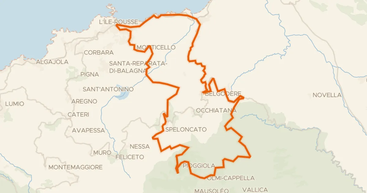
Roll out of Corte and the climbing begins, with 2391 m of elevation gain waiting across the route. The road follows the Tavignanu river, then La Restonica, before tracing La Casaluna through the hills. A stretch through the Forêt de Pineto forest breaks up the climbing, and the loop brings you back to Corte where you started.
Climbs
Climb 1Hill
0.9 km at 8.1% · max 20%
Climb 2Cat. 2
2.8 km at 14.2% · max 33.4%
Climb 3Hill
1.5 km at 5% · max 28.7%
Climb 4Cat. 2
3.3 km at 14% · max 36.1%
Climb 5Hill
1.9 km at 3.3% · max 10.4%
Climb 6Hill
1.1 km at 6.7% · max 12.2%
Climb 7Hill
0.2 km at 18.7% · max 21.1%
Bocca VitoloCat. 2
3.8 km at 9.4% · max 49.7%
Climb 9Cat. 3
4.8 km at 4.9% · max 33.9%
Climb 10Cat. 3
1.4 km at 12.8% · max 29.6%
Climb 11Cat. 3
1.6 km at 12.4% · max 28.3%
Climb 12Hill
1.1 km at 6.9% · max 13.4%
Routes nearby
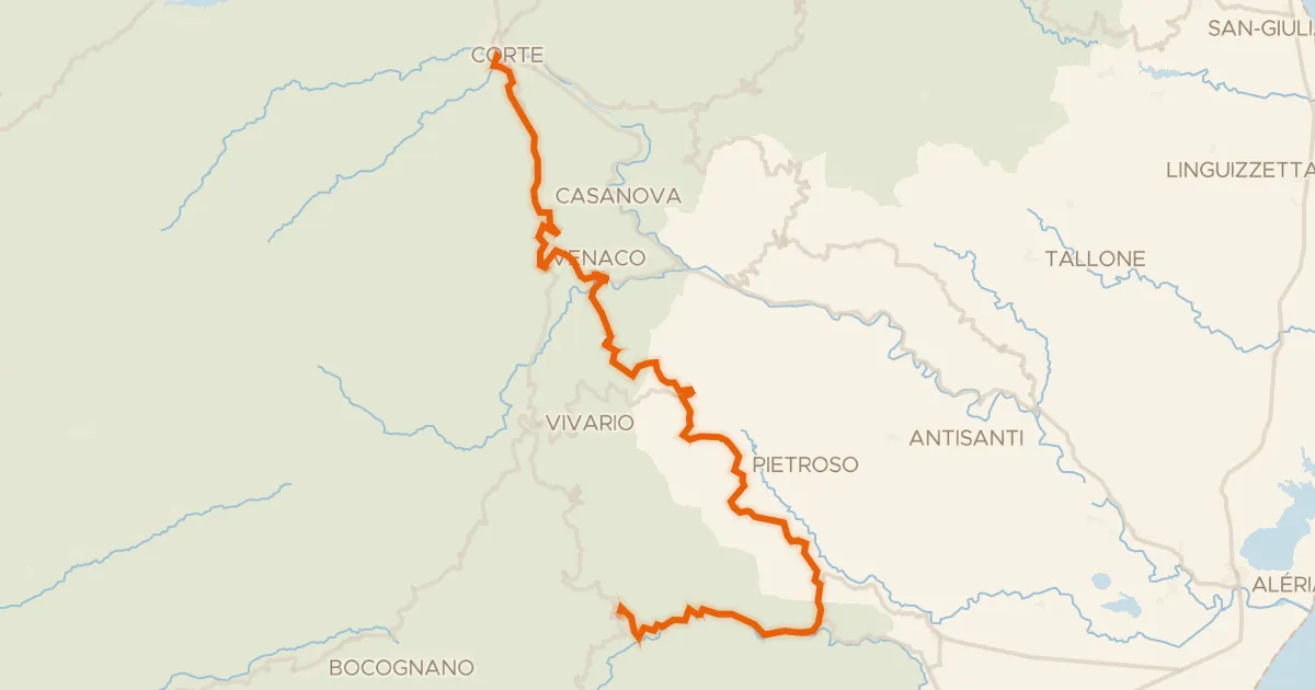
Road bike100% paved
GT20 / Étape 9 : Corti - Ghisoni
58 km↑ 1,889 m13 km away
Col de Cardo · Bocca di Carcosalto

Road bike100% paved
Rondje Parc naturel régional de Corse en U Fium'Orbu
78 km↑ 2,227 m22 km away
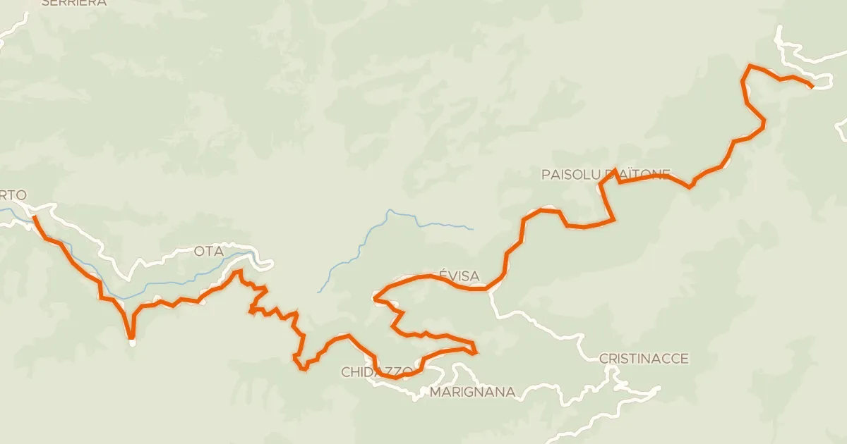
Road bike100% paved
GT20 / Étape 7 : Portu - Verghju
34 km↑ 2,038 m29 km away
Col de Vergio
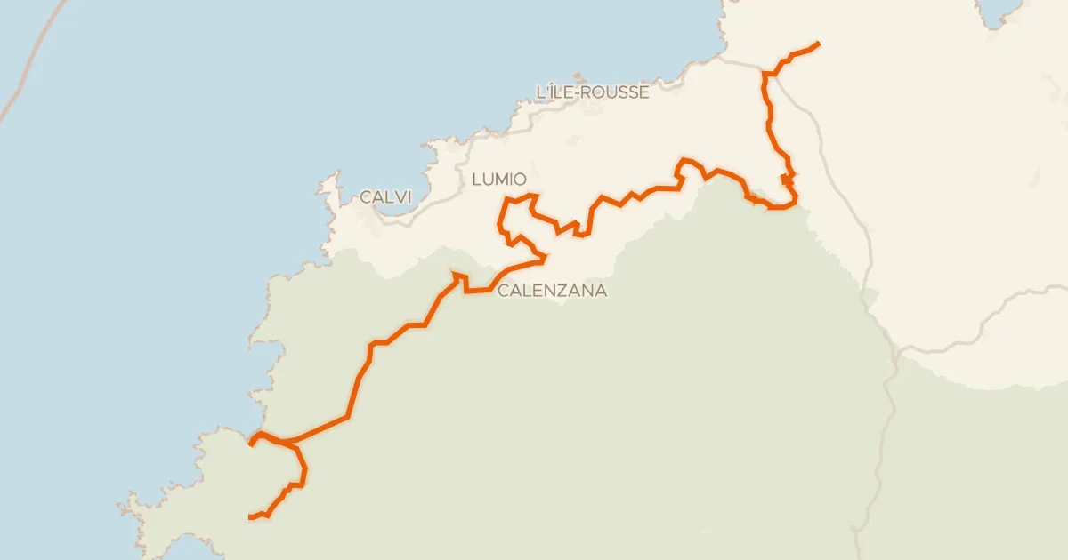
Road bike100% paved
Etape Balagne de la GT20 (Intense)
130 km↑ 3,003 m31 km away
Col de Marsolino · Bocca di Salvi
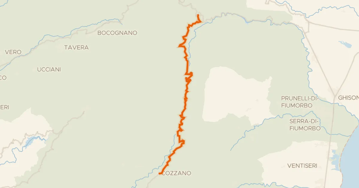
Road bike100% paved
GT20 / Étape 10 : Ghisoni - Zicavu
35 km↑ 1,099 m32 km away
Col de Verde
Road bike100% paved
Col de Battaglia
70 km↑ 1,857 m33 km away
Bocca di Battaglia · Col de Casella