Back to the librarykm 2–30km 33–33km 33–35
GravelMade by RouteCasterRound trip
Rondje Château de Pujols en Réserve naturelle du Mas Larrieu
Distance
67 km
Ascent
1,399 m
Highest point
1,109 m
55% paved
Start from your location
Ride there from home: we find the shortest way to the loop and start the loop from there.
The ride
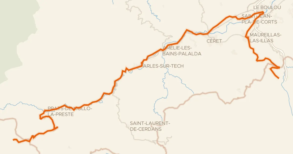
Roll out of Saint-Cyprien and the route soon slips past the Réserve naturelle du Mas Larrieu, a nature reserve on the way. From there it follows the Le Tech and La Riberette rivers before climbing to the Château de Pujols, a castle that breaks up the 1399 m of elevation gain. La Massane is the last river on the way back to the start. With 44% unpaved, expect a mixed day of paved and gravel riding.
Climbs
Climb 1HC
28.3 km at 3.7% · max 43.2%
Climb 2Hill
0.7 km at 5.3% · max 9.7%
Climb 3Cat. 4
2 km at 7.5% · max 16.2%
Routes nearby

Road bike100% paved
Rondje Château de l'Esparrou en La Têt
82 km↑ 377 m9 km away

Gravel47% paved
Langs La Têt en Le Castelnou
60 km↑ 785 m20 km away
Touring88% paved
PirineXus
78 km↑ 2,139 m35 km away
Col d'Ares · Col de la Guille

Gravel21% paved
Langs de L'Agly en Le Maury
65 km↑ 2,360 m36 km away

Road bike100% paved
Langs de Étang de la Palme en de Étang de Sigean
79 km↑ 842 m37 km away

Road bike96% paved
Rondje Château de Padern en Le Verdouble
71 km↑ 1,374 m43 km away