Back to the librarykm 36–37km 39–43km 44–45
GravelMade by RouteCasterRound trip
Langs La Têt en Le Castelnou
Distance
60 km
Ascent
785 m
Highest point
318 m
47% paved
Start from your location
Ride there from home: we find the shortest way to the loop and start the loop from there.
The ride
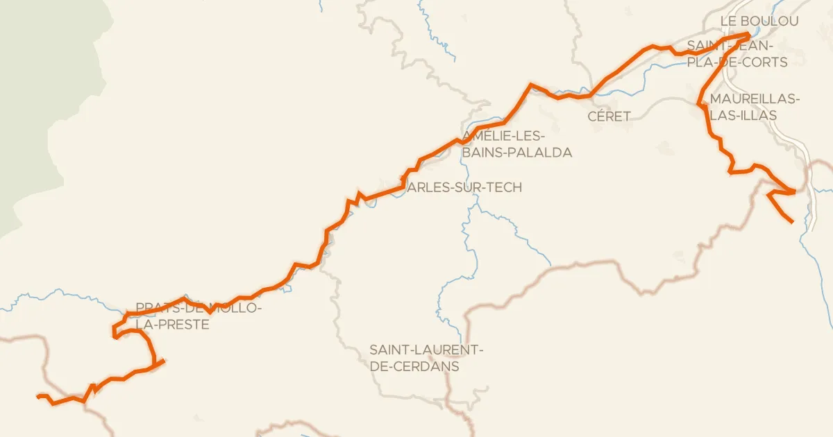
From Le Soler you roll out to the river La Têt, then climb into the Parc naturel régional Corbières-Fenouillèdes. The 60.0 km loop mixes 47% paved with 53% unpaved and gathers 785 m of elevation gain. On the way back you pass the river Le Castelnou before finishing where you started.
Climbs
Climb 1Hill
1 km at 4.2% · max 9.7%
Climb 2Cat. 3
3.8 km at 5.5% · max 18%
Climb 3Hill
0.8 km at 8.3% · max 14.4%
Routes nearby

Road bike100% paved
Rondje Château de l'Esparrou en La Têt
82 km↑ 377 m9 km away

Gravel21% paved
Langs de L'Agly en Le Maury
65 km↑ 2,360 m18 km away

Gravel55% paved
Rondje Château de Pujols en Réserve naturelle du Mas Larrieu
67 km↑ 1,399 m20 km away

Road bike96% paved
Rondje Château de Padern en Le Verdouble
71 km↑ 1,374 m29 km away
Touring88% paved
PirineXus
78 km↑ 2,139 m29 km away
Col d'Ares · Col de la Guille

Road bike100% paved
Langs de Étang de la Palme en de Étang de Sigean
79 km↑ 842 m32 km away