Back to the library
GravelMade by RouteCasterRound trip
Rondje Château de Morges en Le Boiron
Distance
61 km
Ascent
743 m
Highest point
757 m
58% paved
Start from your location
Ride there from home: we find the shortest way to the loop and start the loop from there.
The ride
Roll out from the parking at Parc naturel régional Jura vaudois and let the route unfold past the river L'Aubonne before climbing into the nature reserve itself. Onward you pass the castle of Lavigny, then follow the Boiron down toward the castle of Morges and the river La Morges. Of the 61.2 km, a good share runs unpaved, and the ride gathers 743 m of climbing before bringing you back to where you started.
Routes nearby

Gravel62% paved
Rondje Château d'Aubonne en Château de Vullierens
63 km↑ 897 m9 km away

Gravel50% paved
Rondje Château de La Sarraz en La Venoge
71 km↑ 864 m12 km away
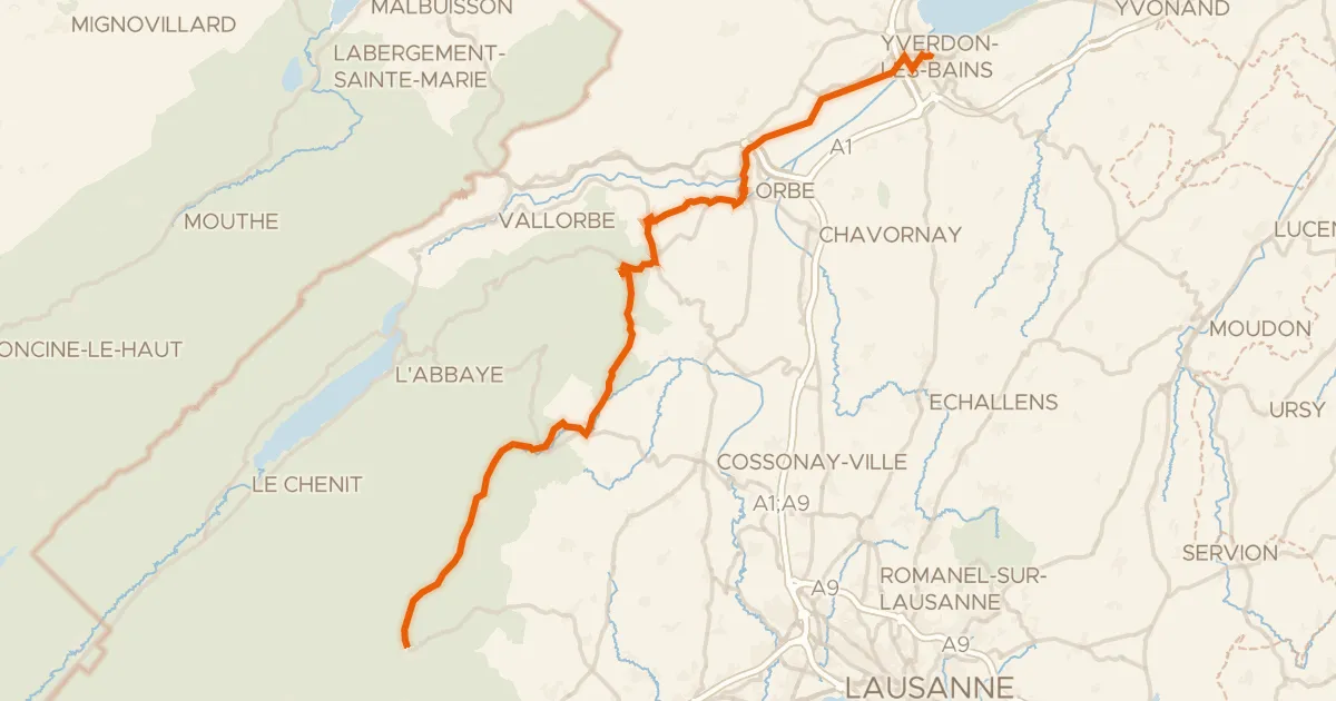
Road bike101% paved
Route du pied du Jura
50 km↑ 742 m18 km away
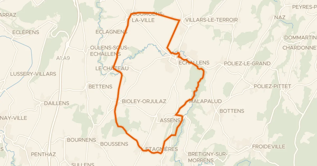
Touring86% paved
Boucle champêtre du Gros de Vaud
21 km↑ 245 m24 km away
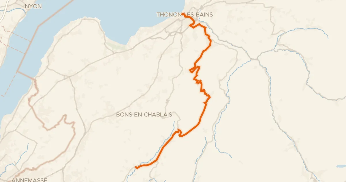
Road bike100% paved
P'tites Routes du Soleil, étape 1, Thonon-les-Bains / Boëge
37 km↑ 1,134 m29 km away
Col de Terramont · Col du Feu
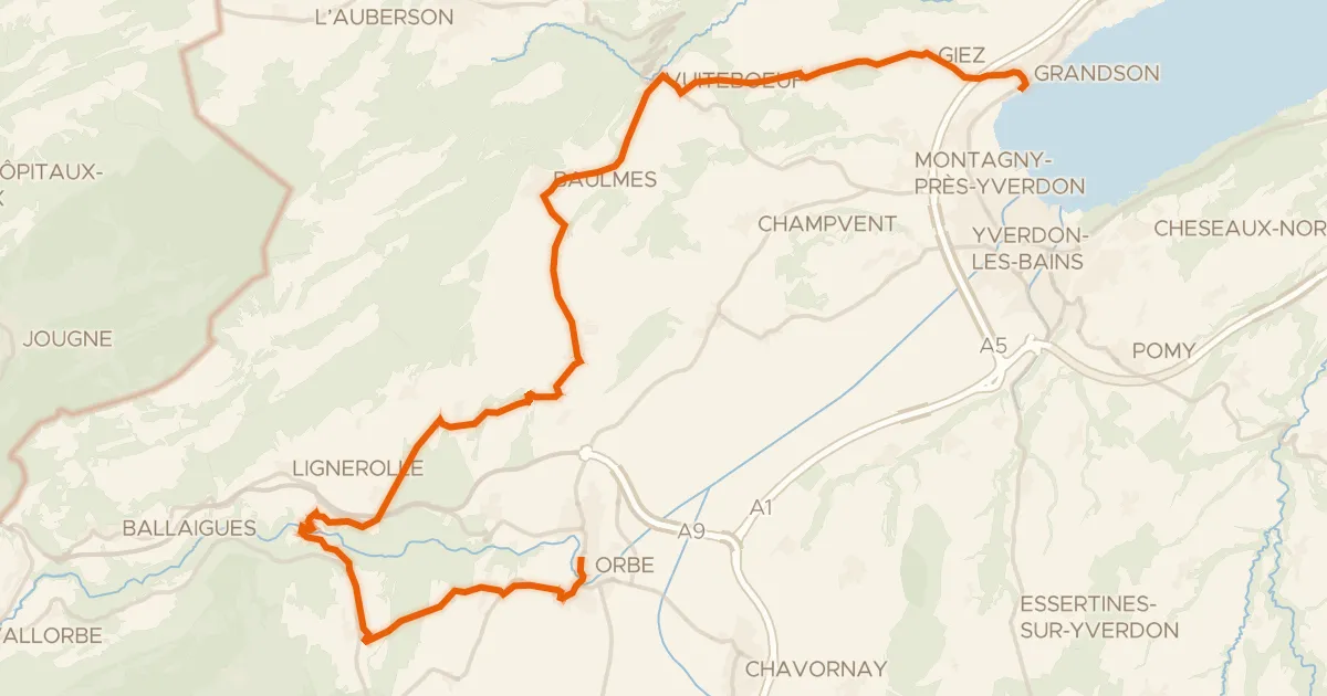
Road bike100% paved
Boucle de la Plaine de l'Orbe
32 km↑ 551 m30 km away