Back to the librarykm 33–35km 38–38km 43–44km 52–54km 55–57km 64–64
GravelMade by RouteCasterRound trip
Rondje Château de La Sarraz en La Venoge
Distance
71 km
Ascent
864 m
Highest point
752 m
50% paved
Start from your location
Ride there from home: we find the shortest way to the loop and start the loop from there.
The ride
Roll out of L'Isle and let the route unfold past the castle of the same name before following La Venoge. The Jura vaudois nature reserve opens up the middle of the ride, then three castles in a row — La Sarraz, En-Bas and En-Haut — line the way. With 71.0 km and 864 m of climbing, it's a lively loop that brings you back to where you started.
Climbs
Climb 1Hill
1.6 km at 4.5% · max 10.9%
Climb 2Hill
0.9 km at 3.9% · max 6%
Climb 3Hill
0.6 km at 4.3% · max 7.5%
Climb 4Hill
1.2 km at 3.1% · max 9.8%
Climb 5Hill
1.8 km at 3% · max 11.4%
Climb 6Hill
0.4 km at 6.4% · max 10.5%
Routes nearby
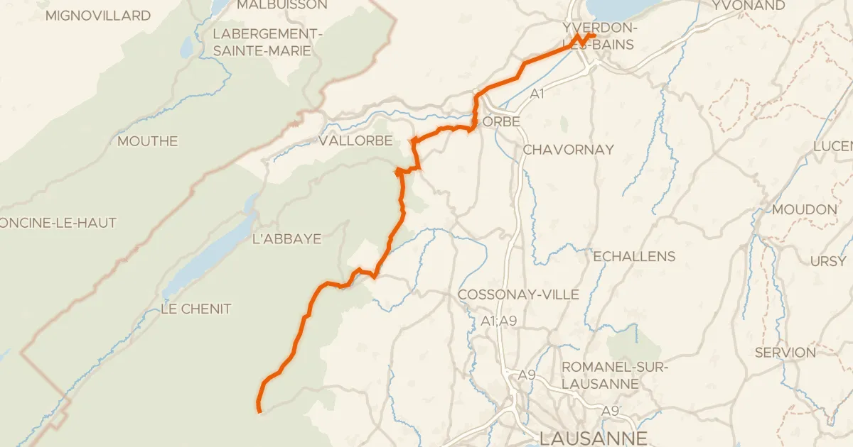
Road bike101% paved
Route du pied du Jura
50 km↑ 742 m7 km away

Gravel58% paved
Rondje Château de Morges en Le Boiron
61 km↑ 743 m8 km away

Gravel62% paved
Rondje Château d'Aubonne en Château de Vullierens
63 km↑ 897 m8 km away
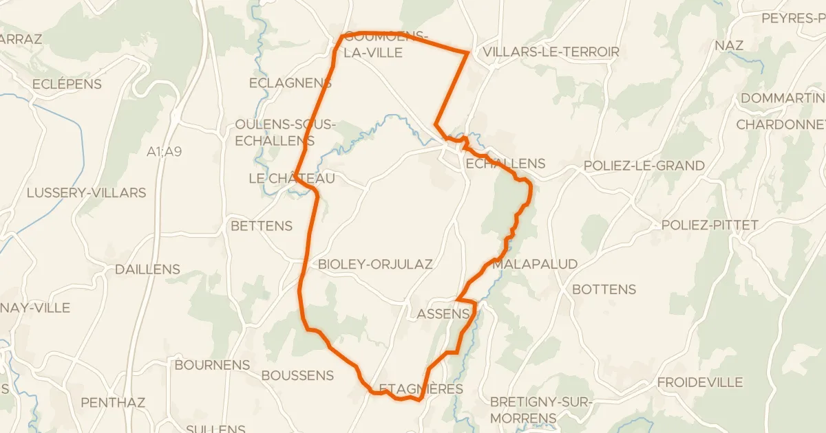
Touring86% paved
Boucle champêtre du Gros de Vaud
21 km↑ 245 m16 km away
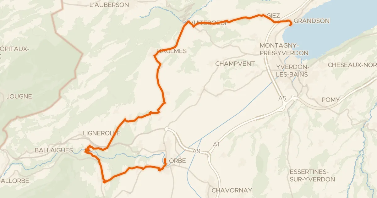
Road bike100% paved
Boucle de la Plaine de l'Orbe
32 km↑ 551 m19 km away
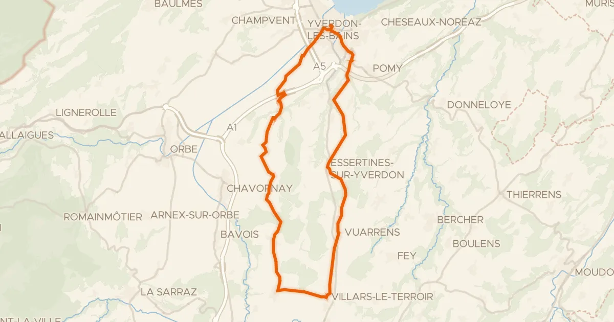
Road bike100% paved
Boucle champêtre du Nord vaudois
39 km↑ 390 m20 km away