Back to the librarykm 3–4km 7–8km 9–18km 36–40km 41–43
Road bikeMade by RouteCasterRound trip
Rondje Château de Lucens en Lac de Neuchâtel
Distance
80 km
Ascent
1,180 m
Highest point
821 m
99% paved
Start from your location
Ride there from home: we find the shortest way to the loop and start the loop from there.
The ride
From Montagny-la-Ville you roll out on a route that stays paved the whole way, climbing 1180 m as it goes. The ride follows the L'Arbogne and La Broye rivers before the Château de Curtilles and Château de Lucens castles come into view. Later you reach Lac de Neuchâtel, with the Château de Font castle as a final landmark on the way back to the start village.
Climbs
Climb 1Hill
0.7 km at 3.6% · max 4.3%
Climb 2Hill
0.7 km at 4.4% · max 11.9%
Climb 3Cat. 3
9.8 km at 3.2% · max 9.2%
Climb 4Cat. 3
4.8 km at 3.8% · max 21.9%
Climb 5Hill
1.2 km at 3.8% · max 12.3%
Routes nearby
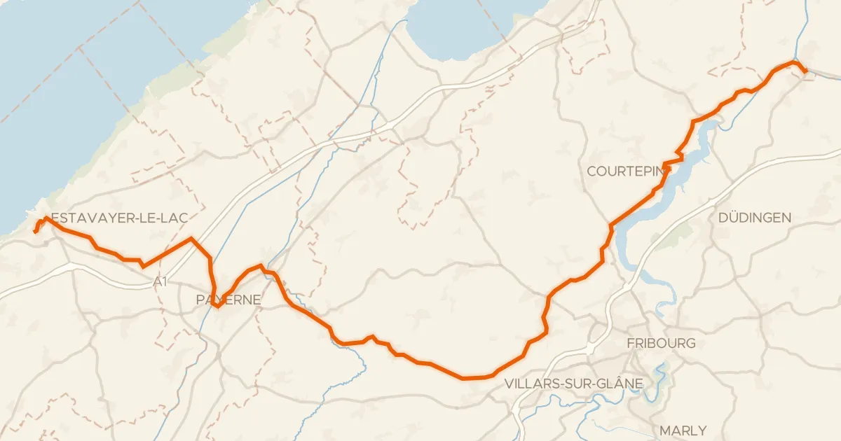
Touring91% paved
Route de l'ancien régime Bernois
49 km↑ 600 m5 km away
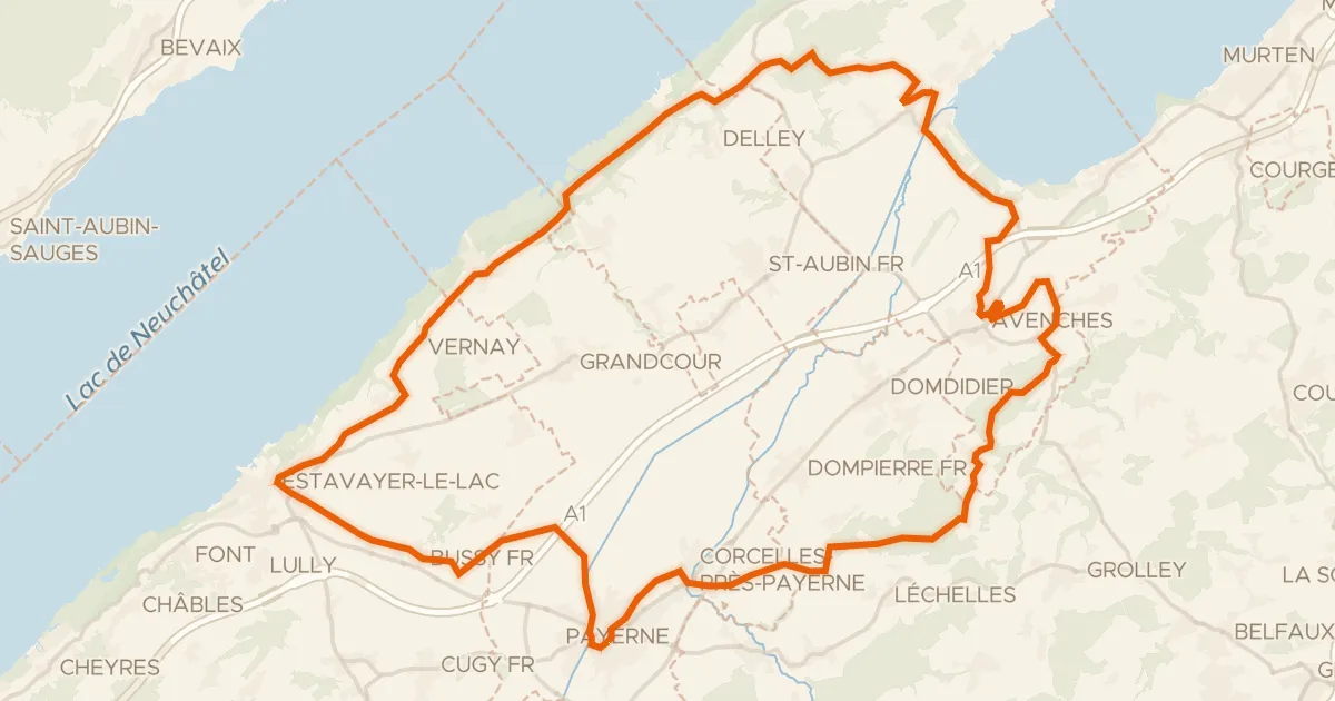
Touring91% paved
Les collines de la Broye
60 km↑ 679 m7 km away
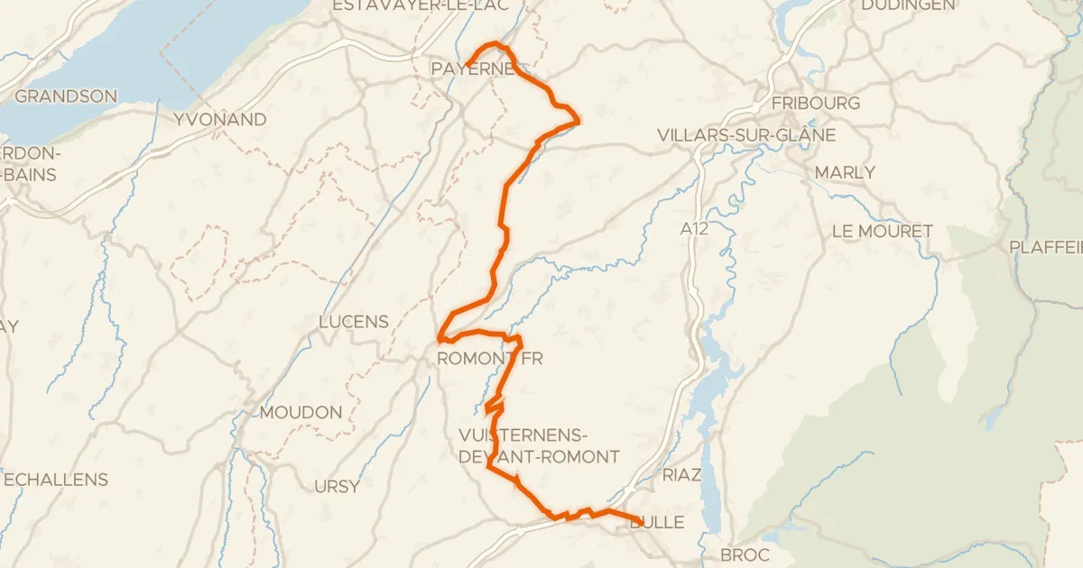
Touring92% paved
La Broye-La Gruyère
48 km↑ 814 m10 km away
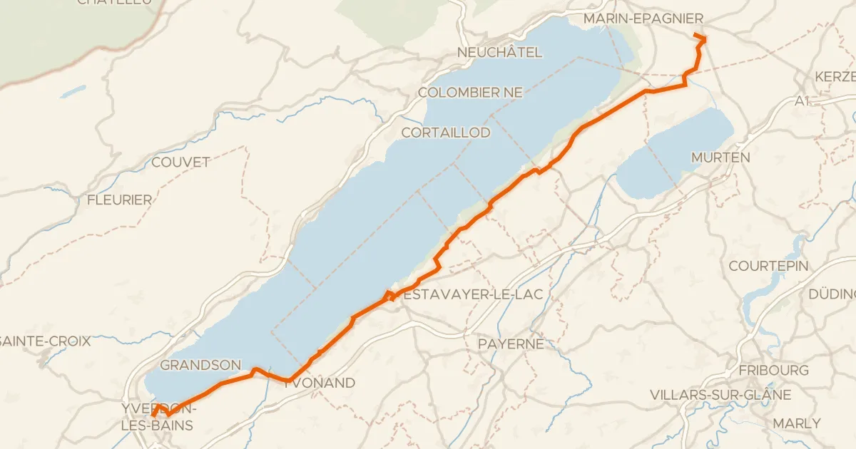
Touring89% paved
Route Mittelland
53 km↑ 332 m12 km away
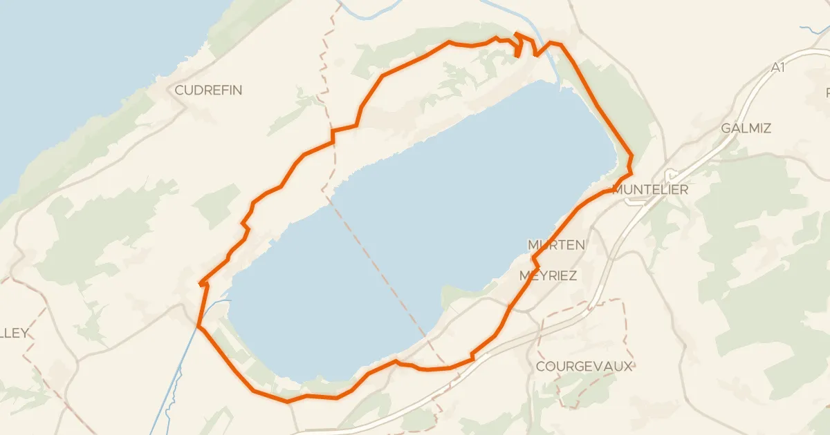
Touring88% paved
Tour du Lac de Morat
28 km↑ 351 m14 km away

Gravel57% paved
Rondje La Sarine en Lac de la Gruyère
57 km↑ 1,689 m15 km away