Back to the librarykm 1–3km 4–4km 5–5km 8–9km 12–13km 38–40km 41–42km 42–43km 43–44km 47–49
GravelMade by RouteCasterRound trip
Rondje Château d'Oppède en La Sorgue
Distance
60 km
Ascent
1,059 m
Highest point
365 m
49% paved
Start from your location
Ride there from home: we find the shortest way to the loop and start the loop from there.
The ride
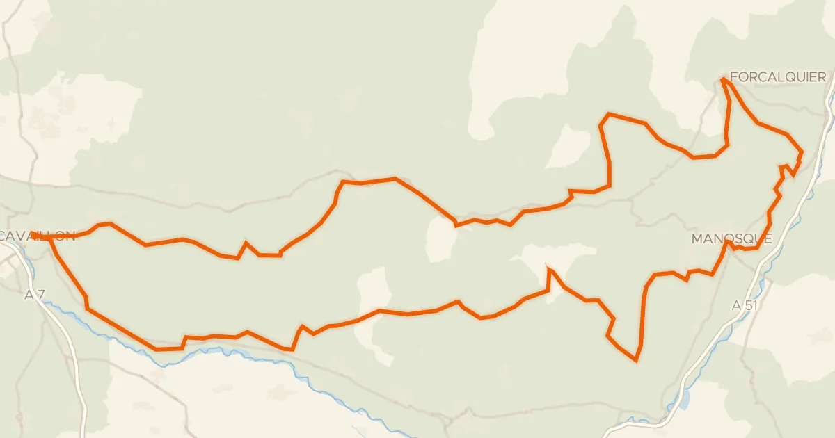
Roll out of Ménerbes for 60.2 km of riding that keeps you guessing underfoot, with 51% of it unpaved. Climb past the castle of Château d'Oppède, then spin through the Luberon nature reserve toward La Sorgue river. The Canal de Carpentras and Le Calavon river carry you onward before the road turns you back to Ménerbes.
Climbs
Climb 1Cat. 4
2 km at 4.8% · max 18%
Climb 2Hill
0.3 km at 14.9% · max 18.2%
Climb 3Hill
0.5 km at 15% · max 24.8%
Climb 4Cat. 4
1.1 km at 7.7% · max 12.2%
Climb 5Hill
0.8 km at 3.7% · max 11%
Climb 6Cat. 4
1.9 km at 7.2% · max 19.4%
Climb 7Hill
1.4 km at 3.9% · max 8.8%
Climb 8Hill
0.6 km at 4.9% · max 8.2%
Climb 9Hill
0.5 km at 9.5% · max 16.7%
Climb 10Cat. 4
2.1 km at 4.6% · max 14.3%
Routes nearby

Road bike100% paved
Rondje Château de Gordes en Le Calavon
72 km↑ 1,243 m9 km away

Gravel31% paved
Langs La Durance en Canal de Craponne
42 km↑ 359 m14 km away
Road bike99% paved
Autour du Luberon à vélo (itinéraire orange)
238 km↑ 3,587 m20 km away

Road bike100% paved
Langs La Grande Levade en La Sorgue de Velleron
84 km↑ 603 m26 km away

Gravel70% paved
Langs de L'Ouvèze en La Sorgue d'Entraigues
63 km↑ 287 m28 km away

Road bike100% paved
Rondje Château de l'Empéri en La Touloubre
69 km↑ 219 m29 km away