Back to the librarykm 30–33km 40–40
GravelMade by RouteCasterRound trip
Langs La Durance en Canal de Craponne
Distance
42 km
Ascent
359 m
Highest point
302 m
31% paved
Start from your location
Ride there from home: we find the shortest way to the loop and start the loop from there.
The ride
From Alleins the route rolls out past the Alpilles nature reserve before meeting the Durance river, then carries on to the Luberon nature reserve and the Canal de Craponne. Of the 41.9 km, most runs unpaved, so the surface shifts between paved and unpaved along the way. With 359 m of climbing spread across the loop, the ride keeps things varied without ever settling into one rhythm. It all comes back around to Alleins, where it began.
Climbs
Climb 1Hill
2.1 km at 3.7% · max 12%
Climb 2Hill
0.3 km at 11.3% · max 13.2%
Routes nearby

Road bike100% paved
Langs La Touloubre en Étang de Berre
76 km↑ 564 m16 km away

Road bike100% paved
Rondje Château de l'Empéri en La Touloubre
69 km↑ 219 m18 km away

Gravel49% paved
Rondje Château d'Oppède en La Sorgue
60 km↑ 1,059 m18 km away

Gravel47% paved
Rondje Château de la Gaude en La Touloubre
64 km↑ 1,069 m23 km away

Road bike100% paved
Rondje Château de Gordes en Le Calavon
72 km↑ 1,243 m23 km away
Road bike99% paved
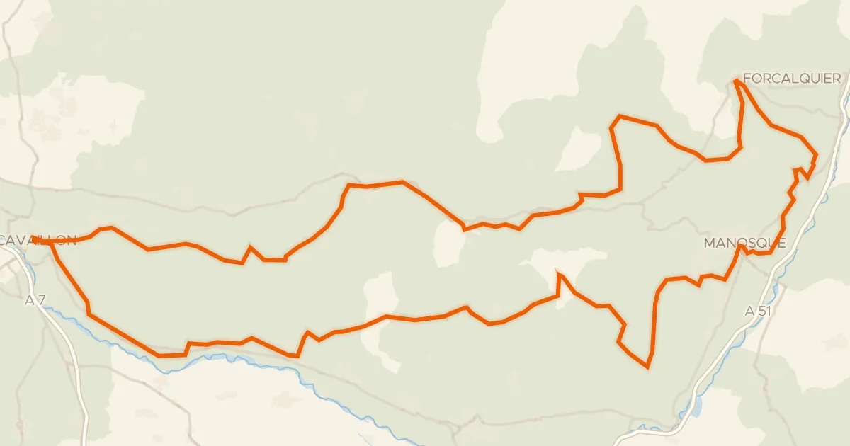
Autour du Luberon à vélo (itinéraire orange)
238 km↑ 3,587 m28 km away