Back to the librarykm 19–23km 70–73
Road bikeMade by RouteCasterRound trip
Rondje Château d'Ansouis en Château de la Tour-d'Aigues
Distance
77 km
Ascent
795 m
Highest point
432 m
100% paved
Start from your location
Ride there from home: we find the shortest way to the loop and start the loop from there.
The ride
Roll out of Pertuis and follow the Èze river before the towers of Château de la Tour-d'Aigues come into view. The road then slips into the Luberon nature reserve, climbs through 795 m of elevation gain, and drops toward La Durance. Cross the Le Réal river on the way back, with Château d'Ansouis watching over the final stretch home to Pertuis.
Climbs
Climb 1Cat. 3
4.2 km at 4.7% · max 17.7%
Climb 2Cat. 4
2.6 km at 3.5% · max 8.6%
Routes nearby

Gravel15% paved
Langs de L'Èze en Étang de la Bonde
58 km↑ 1,314 m9 km away

Gravel47% paved
Rondje Château de la Gaude en La Touloubre
64 km↑ 1,069 m13 km away

Road bike100% paved
Rondje Château de Vauvenargues en La Torse
80 km↑ 1,260 m16 km away
Road bike99% paved
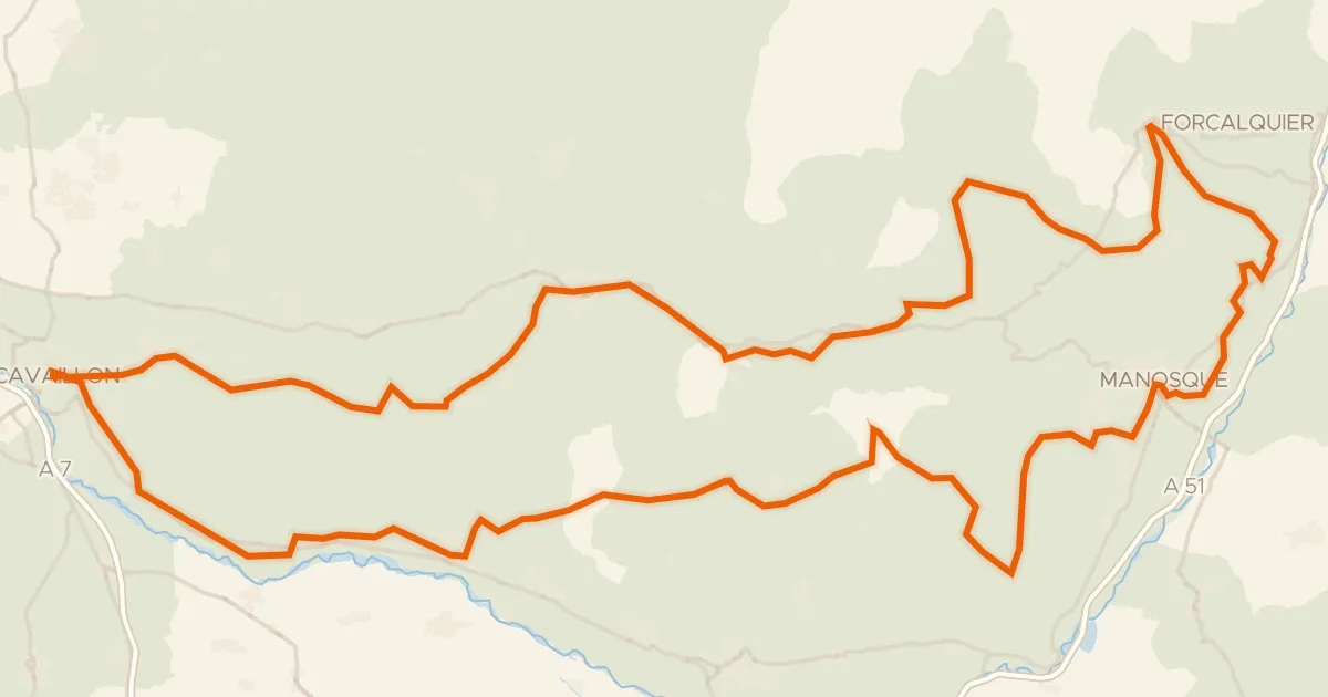
Autour du Luberon à vélo (itinéraire orange)
238 km↑ 3,587 m18 km away

Road bike100% paved
Rondje Château du Grand-Pré en L'Encrême
75 km↑ 1,510 m22 km away

Road bike100% paved
Langs La Touloubre en Étang de Berre
76 km↑ 564 m25 km away