Back to the librarykm 4–8km 10–13km 13–15km 18–19km 22–24km 28–28km 29–36km 54–55km 55–58
GravelMade by RouteCasterRound trip
Langs de L'Èze en Étang de la Bonde
Distance
58 km
Ascent
1,314 m
Highest point
717 m
15% paved
Start from your location
Ride there from home: we find the shortest way to the loop and start the loop from there.
The ride
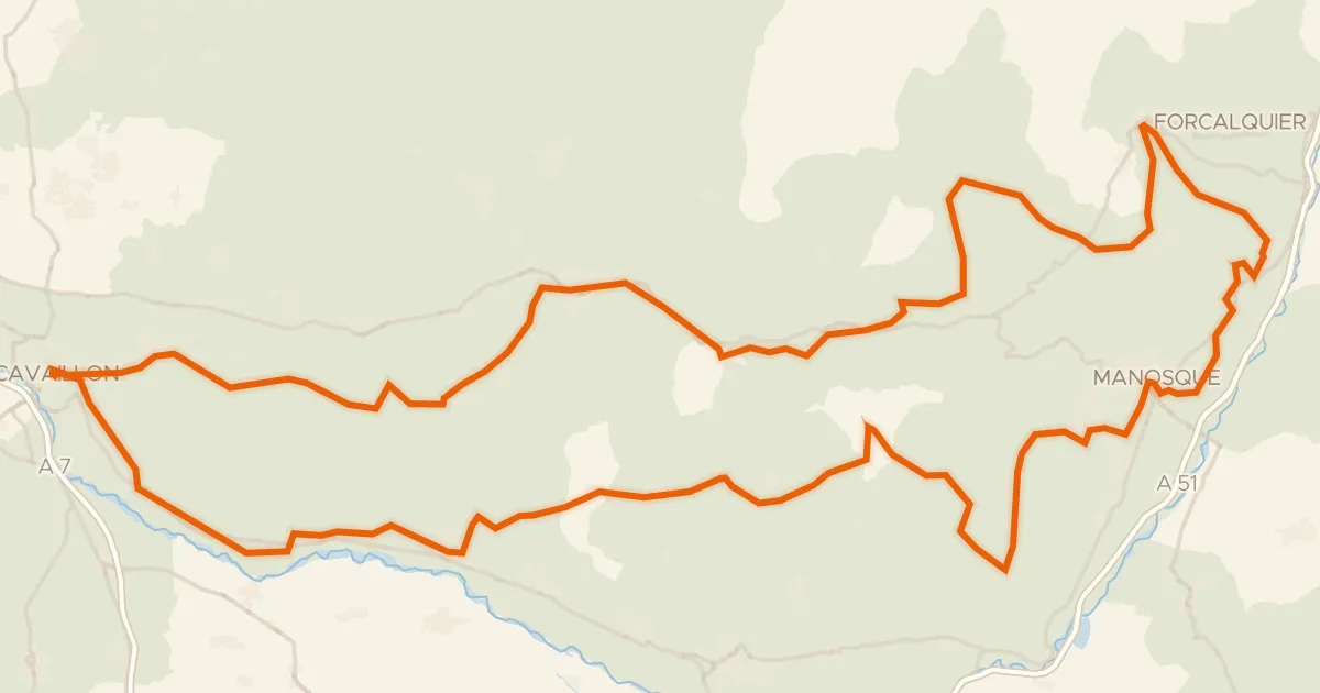
From La Bastidonne the route rolls out toward the Luberon nature reserve, then on to the Étang de la Bonde lake and along the L'Èze river before looping home. Of the 57.5 km, most runs unpaved, and the climbing adds up to 1314 m along the way. It's a ride that keeps moving between the reserve, the water and the river valley.
Climbs
Climb 1Cat. 3
4.4 km at 3.9% · max 14.2%
Climb 2Cat. 3
2.4 km at 7% · max 13.7%
Climb 3Hill
1.4 km at 4.8% · max 11.1%
Climb 4Hill
0.5 km at 6.7% · max 10%
Climb 5Cat. 4
1.8 km at 5.2% · max 10.5%
Climb 6Hill
0.7 km at 8.7% · max 16.1%
Climb 7Cat. 2
6.1 km at 5.6% · max 15.4%
Climb 8Hill
1 km at 3.5% · max 8.7%
Climb 9Cat. 4
2.3 km at 4.2% · max 9.7%
Routes nearby

Road bike100% paved
Rondje Château d'Ansouis en Château de la Tour-d'Aigues
77 km↑ 795 m4 km away

Road bike100% paved
Rondje Château de Vauvenargues en La Torse
80 km↑ 1,260 m15 km away

Gravel47% paved
Rondje Château de la Gaude en La Touloubre
64 km↑ 1,069 m17 km away

Road bike100% paved
Rondje Château du Grand-Pré en L'Encrême
75 km↑ 1,510 m18 km away
Road bike99% paved
Autour du Luberon à vélo (itinéraire orange)
238 km↑ 3,587 m19 km away

Gravel20% paved
Rondje Château Sainte-Marguerite en Le Largue
65 km↑ 1,499 m21 km away