Back to the librarykm 1–5km 12–19km 23–24km 31–32km 36–41km 50–54km 73–76
Road bikeMade by RouteCasterRound trip
Rondje Château d'Alleuze en L'Ander
Distance
93 km
Ascent
1,401 m
Highest point
1,116 m
99% paved
Start from your location
Ride there from home: we find the shortest way to the loop and start the loop from there.
The ride
Roll out of Saint-Flour and let the road unfold: past the castle of Alleuze, down to the river L'Épie, then on to the castles of Rochebrune and Paulhac. The castle of Jarry follows before the route meets the L'Ander and turns for home. Along the way you'll climb 1401 m across 93.3 km, almost all of it on paved surface. Back in Saint-Flour, the loop closes where it began.
Climbs
Climb 1Cat. 4
3.4 km at 4.2% · max 10.5%
Climb 2Cat. 3
7 km at 3.1% · max 21%
Climb 3Hill
1 km at 4% · max 8.1%
Climb 4Hill
0.8 km at 7% · max 19.2%
Climb 5Cat. 3
5.3 km at 3.7% · max 7.5%
Climb 6Cat. 4
3.4 km at 3.3% · max 14.3%
Climb 7Cat. 4
3.1 km at 4.4% · max 20.5%
Routes nearby

Gravel31% paved
Rondje Château de Vernières en L'Ander
59 km↑ 1,146 m6 km away

Road bike100% paved
Rondje Château du Jarry en Château de Paulhac
68 km↑ 861 m13 km away

Road bike100% paved
Rondje Château de Fournels en Château du Chassan
79 km↑ 1,393 m16 km away

Road bike100% paved
Rondje Château de Ruynes en La Truyère
77 km↑ 1,244 m19 km away

Road bike100% paved
Rondje L'Alagnon en L'Alagnonnette
73 km↑ 1,804 m20 km away
Road bike98% paved
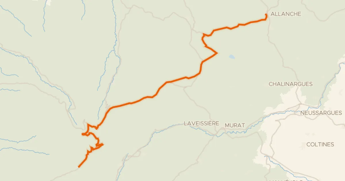
La Grande Traversée du Volcan à Vélo, étape 4, Mandailles-Saint-Julien / Allanche
43 km↑ 1,021 m27 km away
Col d'Eylac · Pas de Peyrol