Back to the librarykm 0–1km 3–12km 17–17km 17–18km 19–19km 19–19km 20–21km 32–33km 34–36km 37–38km 39–41km 48–48km 48–49km 50–51km 57–57km 58–60
GravelMade by RouteCasterRound trip
Rondje Castello di Vezio en Torrente Pioverna
Distance
61 km
Ascent
3,003 m
Highest point
1,289 m
64% paved
Start from your location
Ride there from home: we find the shortest way to the loop and start the loop from there.
The ride
From Mandello del Lario the road climbs straight into the mountains, with 3003 m of elevation gain waiting across 61.4 km. You roll past the Torrente Valle Meria river and on toward the Grigna Meridionale nature reserve, then through the Parco Regionale della Grigna Settentrionale. Further along come the Torrente Pioverna river and the Castello di Vezio castle, before the Castello di Lierna castle marks the way back to Mandello del Lario.
Climbs
Climb 1Hill
1.1 km at 3.2% · max 8.6%
Climb 2HC
9.1 km at 11.7% · max 59.5%
Climb 3Hill
0.4 km at 18% · max 36.8%
Climb 4Cat. 4
1 km at 11.6% · max 36.3%
Climb 5Hill
0.4 km at 16.6% · max 28.6%
Climb 6Hill
0.4 km at 17.6% · max 26.8%
Climb 7Hill
0.5 km at 5.8% · max 12.7%
Climb 8Hill
1.5 km at 5% · max 19.9%
Climb 9Cat. 3
1.6 km at 12.9% · max 47%
Climb 10Cat. 4
1 km at 13.4% · max 41.3%
Passo di AgueglioCat. 2
2.7 km at 17.2% · max 43.6%
Climb 12Hill
0.2 km at 14.2% · max 17.4%
Climb 13Hill
0.7 km at 8.8% · max 20.6%
Climb 14Hill
1 km at 4.2% · max 14.2%
Climb 15Hill
0.6 km at 7.6% · max 23.7%
Climb 16Cat. 4
1.5 km at 9.8% · max 19.7%
Routes nearby

Gravel56% paved
Rondje Castello del Baradello en Lago di Montorfano
64 km↑ 2,411 m17 km away
Road bike100% paved
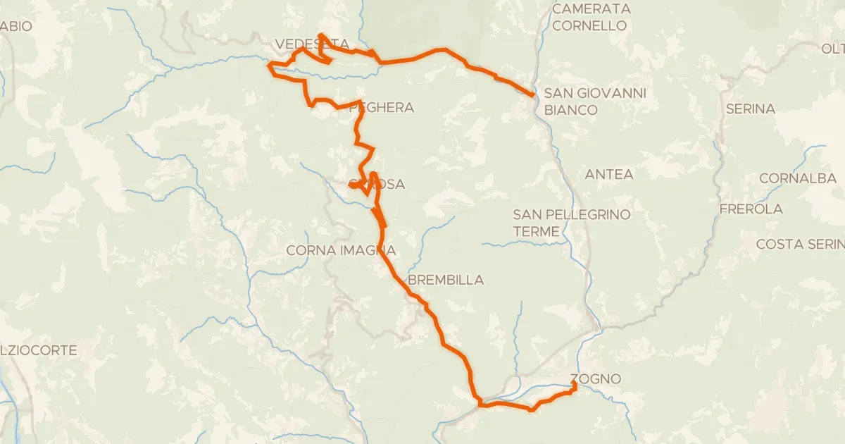
Ciclo Percorso Val Taleggio
40 km↑ 1,269 m24 km away
Forcella di Bura

Gravel42% paved
Rondje Castello di Clanezzo en Parco Adda Nord
64 km↑ 2,454 m24 km away
Road bike99% paved
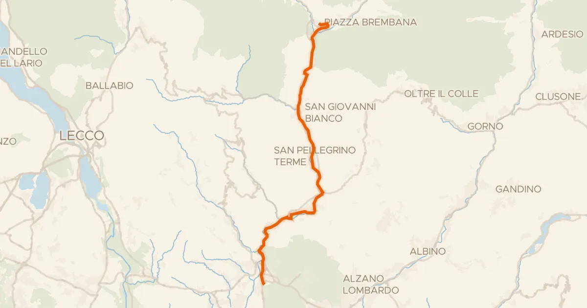
Ciclovia Valle Brembana
33 km↑ 433 m27 km away
Touring94% paved
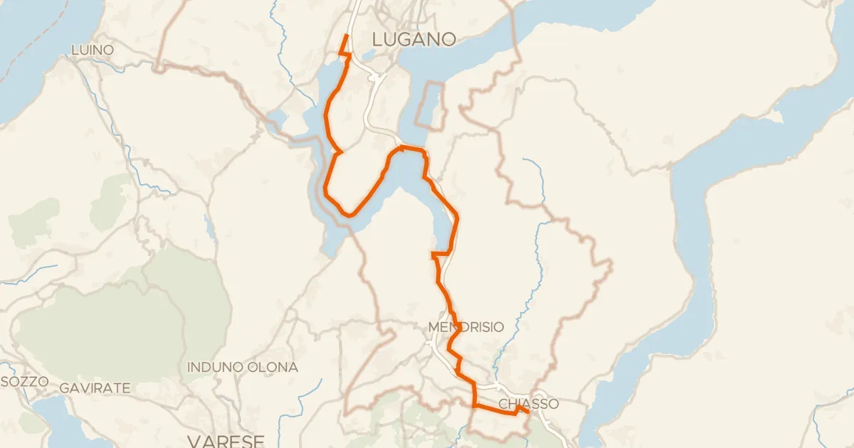
Percorso Nord-Sud
39 km↑ 449 m27 km away

Gravel54% paved
Rondje Villa Reale en Parco della Valle del Lambro
73 km↑ 467 m31 km away