Back to the librarykm 1–3km 5–5km 6–7km 7–7km 8–9km 10–10km 18–30km 34–35km 42–43km 45–46km 46–47km 48–49km 51–51km 52–55km 58–61km 61–62
GravelMade by RouteCasterRound trip
Rondje Castello del Baradello en Lago di Montorfano
Distance
64 km
Ascent
2,411 m
Highest point
1,310 m
56% paved
Start from your location
Ride there from home: we find the shortest way to the loop and start the loop from there.
The ride
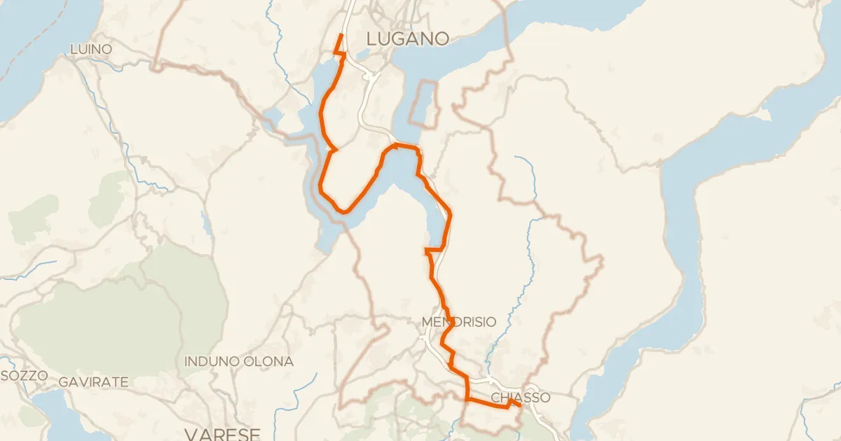
Start and finish at Parkeerplaats Parco Regionale Spina Verde, rolling out through the nature reserve before the route takes you past Laghetto Monte Croce, a lake, and on to Castello del Baradello, a castle. The 64.0 km loop climbs 2411 m and mixes 56% paved with 45% unpaved, passing Lago di Montorfano, another lake, and Castello di san Lorenzo, a castle, before you head back through Torrente Cosia, a river, to the start.
Climbs
Climb 1Hill
2.2 km at 3.1% · max 21.3%
Climb 2Hill
0.5 km at 5.4% · max 11%
Climb 3Cat. 4
1 km at 11.2% · max 22.8%
Climb 4Hill
0.3 km at 14.8% · max 22.4%
Climb 5Hill
1 km at 5.3% · max 19.6%
Climb 6Hill
0.8 km at 4.7% · max 11.9%
Climb 7HC
12.6 km at 7.3% · max 32.6%
Climb 8Hill
0.6 km at 4.8% · max 10.2%
Climb 9Hill
0.7 km at 5.3% · max 16.6%
Climb 10Hill
0.8 km at 5.1% · max 28.9%
Climb 11Hill
0.8 km at 4.1% · max 12%
Climb 12Hill
1.2 km at 5.7% · max 28.3%
Climb 13Cat. 4
0.7 km at 13.2% · max 18.3%
Climb 14Cat. 4
2.2 km at 5% · max 40.2%
Climb 15Cat. 4
3.2 km at 4.3% · max 30.9%
Climb 16Cat. 4
0.9 km at 17.2% · max 44.2%
Routes nearby

Road bike99% paved
Rondje Palazzo Visconti en Villa Gianetti
91 km↑ 835 m12 km away
Touring94% paved
Percorso Nord-Sud
39 km↑ 449 m14 km away

Gravel26% paved
Rondje Castello di Monteruzzo en Parco del Medio Olona
58 km↑ 634 m16 km away

Gravel54% paved
Rondje Villa Reale en Parco della Valle del Lambro
73 km↑ 467 m21 km away

Road bike100% paved
Rondje Rocca di Orino en Parco regionale Campo dei Fiori
73 km↑ 1,419 m21 km away

Gravel46% paved
Rondje Parco Alto Milanese en Parco dei Mulini
57 km↑ 194 m29 km away