Back to the librarykm 3–24km 27–27km 33–33
Road bikeMade by RouteCasterRound trip
Rondje Castello di San Mauro en Lago Tarsia
Distance
71 km
Ascent
1,493 m
Highest point
1,122 m
100% paved
Start from your location
Ride there from home: we find the shortest way to the loop and start the loop from there.
The ride
Roll out of Cantinella and let the road carry you past the castle of San Mauro, then on to the lake at Tarsia. The Crati river marks the way before the route turns for home. All 71.1 km are paved, with 1493 m of climbing to keep the legs honest. Back to Cantinella to close the loop.
Climbs
Climb 1HC
20.4 km at 5.3% · max 46.7%
Climb 2Hill
0.7 km at 7.3% · max 20.5%
Climb 3Hill
0.6 km at 4.9% · max 13.8%
Routes nearby

Road bike100% paved
Rondje Crati en Lago Tarsia
82 km↑ 1,334 m13 km away

Road bike99% paved
Rondje Castello Alacorn en de Crati
81 km↑ 1,102 m14 km away

Gravel53% paved
Rondje Torre Normanna en Fiume Esaro
62 km↑ 1,923 m34 km away

Road bike100% paved
Rondje Serra della Guardia en Crati
78 km↑ 2,116 m35 km away
Road bike100% paved
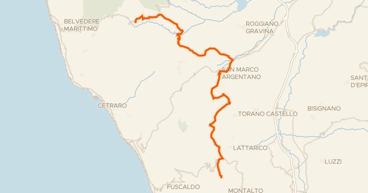
ABT Tappa 30: Sant’Agata di Esaro - San Benedetto Ullano
58 km↑ 1,688 m36 km away
Road bike100% paved
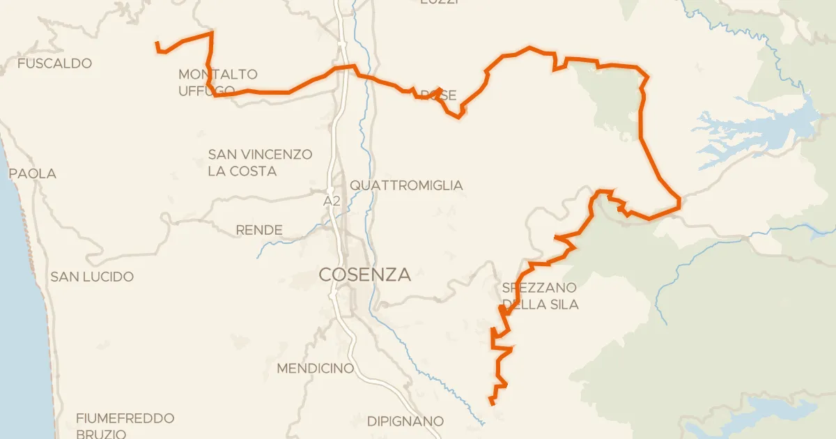
ABT Tappa 31: San Benedetto Ullano - Aprigliano
98 km↑ 2,834 m39 km away
Valico di Monte Scuro