Back to the librarykm 7–10km 12–13km 38–39
GravelMade by RouteCasterRound trip
Rondje Castello di Giulia Farnese en Tevere
Distance
60 km
Ascent
693 m
Highest point
454 m
40% paved
Start from your location
Ride there from home: we find the shortest way to the loop and start the loop from there.
The ride
From Parkeerplaats Falerii Novi you roll out toward the Castello di Giulia Farnese, then on into the Forre di Corchiano nature reserve. The route keeps climbing and dipping for 693 m of elevation gain, with 59.7 km of riding that mixes paved and unpaved stretches. Follow the Tevere river before the loop brings you back through the Falerii Novi nature reserve and home to the start.
Climbs
Climb 1Cat. 4
3.4 km at 3.2% · max 8.2%
Climb 2Cat. 4
1.6 km at 6.3% · max 13.9%
Climb 3Hill
0.6 km at 4.4% · max 9.2%
Routes nearby

Road bike100% paved
Rondje Rocca Orsini en Castello Orsini-Odescalchi
89 km↑ 1,056 m22 km away

Road bike100% paved
Rondje Castello di Giove en Lago di Alviano
74 km↑ 1,375 m33 km away
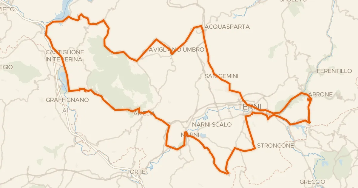
Road bike98% paved
Grand Tour Rando Standard
202 km↑ 3,953 m33 km away
Forca di Arrone

Road bike100% paved
Rondje Lago di Bolsena en Marta
72 km↑ 714 m34 km away
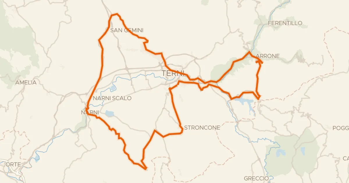
Road bike100% paved
Grand Tour Rando Basic
104 km↑ 2,141 m36 km away
Forca di Arrone

Gravel18% paved
Rondje Monti Amerini en Bacino del Rio Grande
59 km↑ 1,611 m36 km away