Back to the librarykm 17 · Jun 2025 · © canislupus / Mapillary, CC BY-SA km 27 · Mar 2025 · © canislupus / Mapillary, CC BY-SA km 42 · Jul 2024 · © canislupus / Mapillary, CC BY-SA km 17–18km 20–21km 26–28km 39–41
Road bikeRouteCasterRound trip
Rondje Burg Lauterstein en Mothäuser Heide
Distance
75 km
Ascent
1,158 m
Highest point
764 m
100% paved
Start from your location
Ride there from home: we find the shortest way to the loop and start the loop from there.
The ride
Roll out of Pobershau and follow the Schwarze Pockau river, then climb to Burg Lauterstein, a castle watching over the route. Next up: the Flöha river, the Buky a javory v Gabrielce nature reserve, and the open Mothäuser Heide heath. With 75.3 km and 1158 m of climbing, all of it paved, the road eventually loops you back to Pobershau.
Along the way
Climbs
Climb 1Hill
1.2 km at 4.3% · max 9.9%
Climb 2Hill
1.3 km at 3.4% · max 5.2%
Climb 3Cat. 4
2.3 km at 4.3% · max 7.2%
Climb 4Hill
1.5 km at 4.6% · max 8.1%
Routes nearby
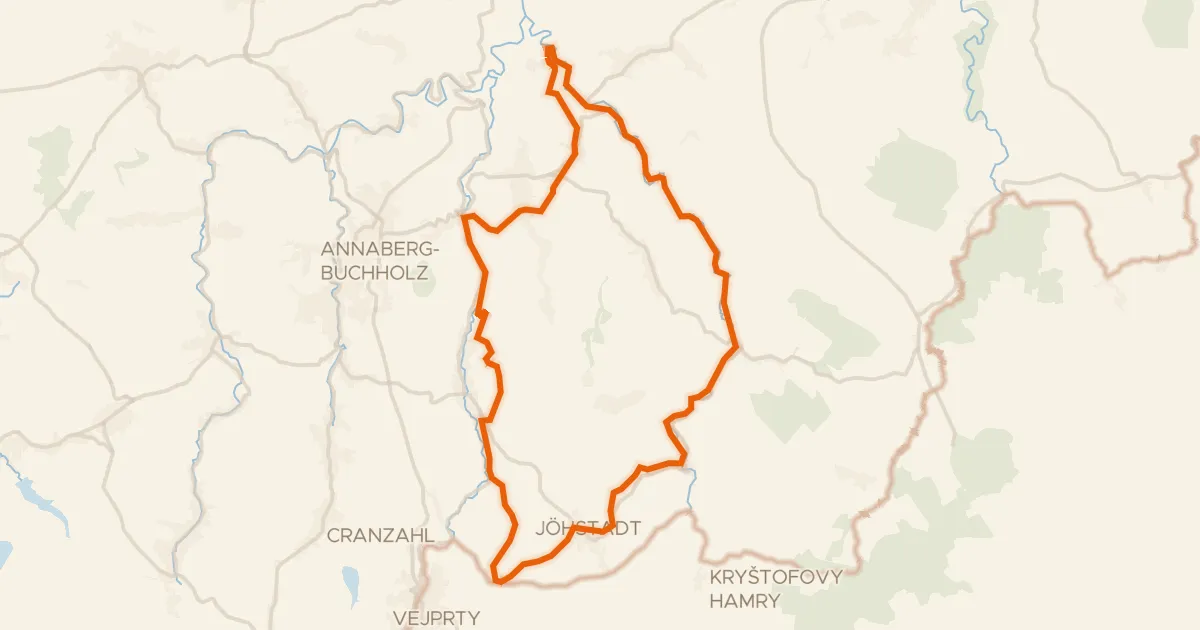
Gravel48% paved
Annaberger Landring
44 km↑ 799 m12 km away
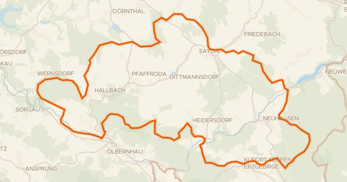
Gravel30% paved
Rondje Bärenbach en Flöha
62 km↑ 1,232 m14 km away
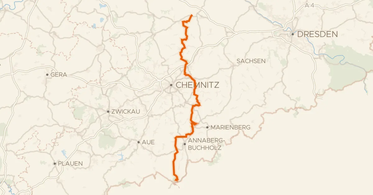
Touring77% paved
Zschopautalradweg
136 km↑ 2,831 m21 km away
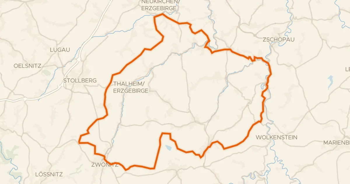
Gravel30% paved
Rondje Burg Scharfenstein en Wasserschloss Klaffenbach
79 km↑ 1,633 m22 km away
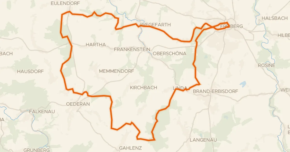
Gravel31% paved
Rondje Schloss Freudenstein en Große Striegis
56 km↑ 730 m27 km away
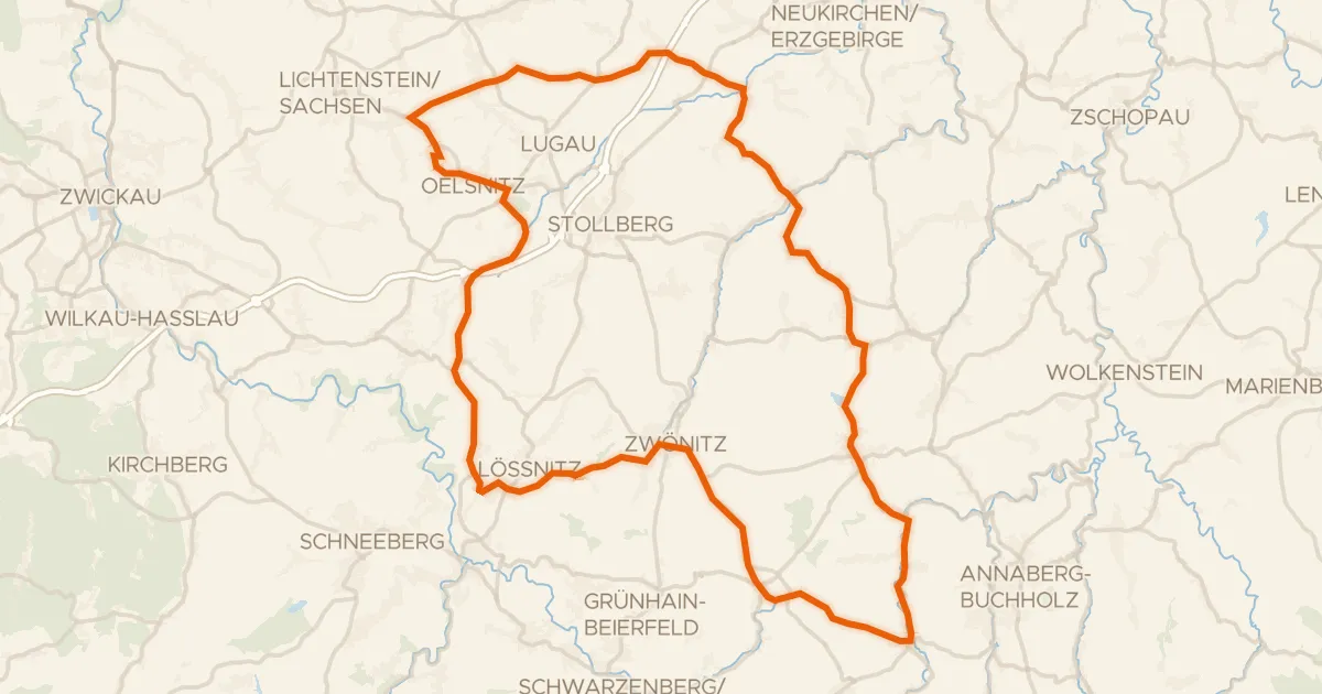
Road bike98% paved
Rondje Paßklausenturm en Schloß Schlettau
90 km↑ 1,386 m29 km away