Back to the librarykm 10–14km 18–21km 26–27km 28–29km 34–36km 37–38km 39–40km 42–43
GravelRouteCasterRound trip
Rondje Bärenbach en Flöha
Distance
62 km
Ascent
1,232 m
Highest point
825 m
30% paved
Start from your location
Ride there from home: we find the shortest way to the loop and start the loop from there.
The ride
Roll out from Parkeerplaats Alte Leite and let the Flöha river lead you along. With 61,5 km ahead, you trade pavement for gravel early, then climb 1232 m of elevation gain. The Bärenbach nature reserve marks the far turn before the route loops back to the start.
Climbs
Climb 1Cat. 4
3.9 km at 3.3% · max 13.7%
Climb 2Cat. 3
2.3 km at 8.4% · max 21.9%
Climb 3Hill
1.5 km at 4.5% · max 9.4%
Climb 4Hill
0.7 km at 4.8% · max 7.8%
Climb 5Cat. 3
2.7 km at 6.2% · max 19.1%
Climb 6Hill
0.9 km at 4.7% · max 9.9%
Climb 7Hill
1.1 km at 4.1% · max 8%
Climb 8Hill
1.2 km at 4.2% · max 10.2%
Routes nearby
Road bike100% paved
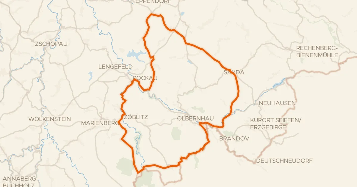
Rondje Burg Lauterstein en Mothäuser Heide
75 km↑ 1,158 m3 km away
Gravel48% paved
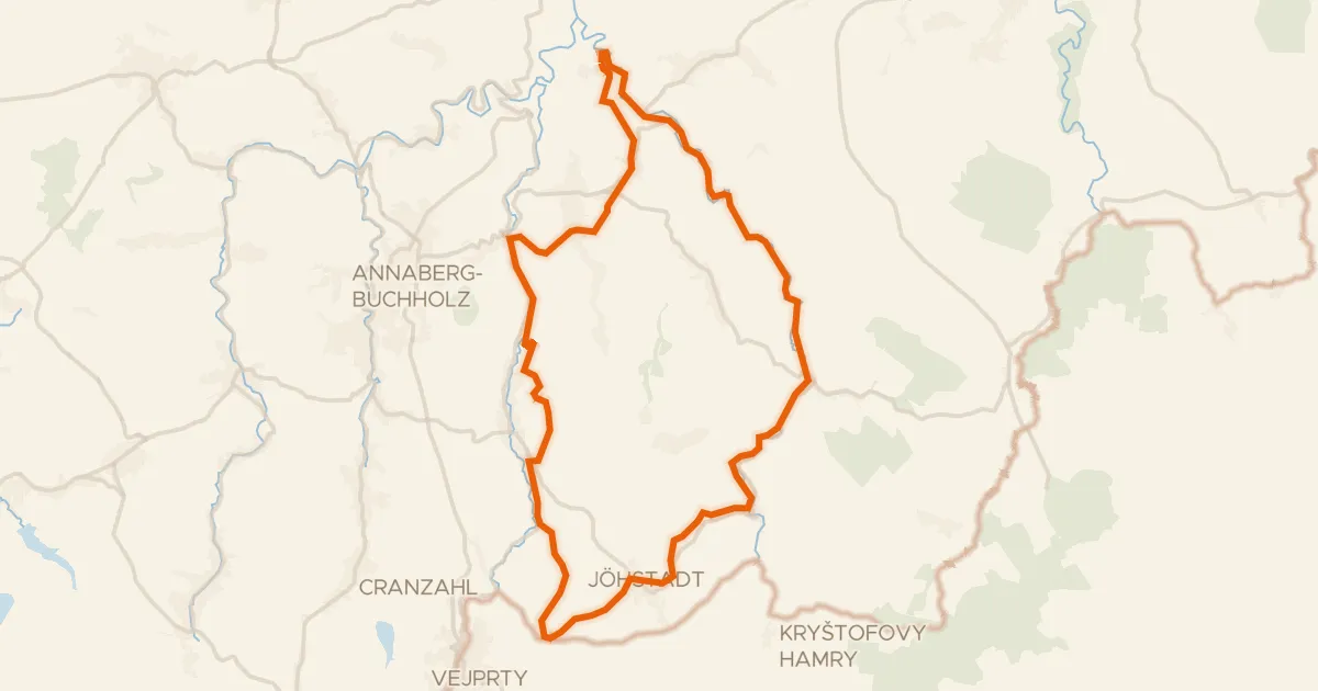
Annaberger Landring
44 km↑ 799 m18 km away
Touring77% paved
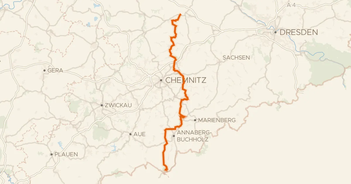
Zschopautalradweg
136 km↑ 2,831 m20 km away
Gravel31% paved
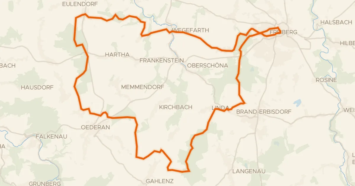
Rondje Schloss Freudenstein en Große Striegis
56 km↑ 730 m21 km away
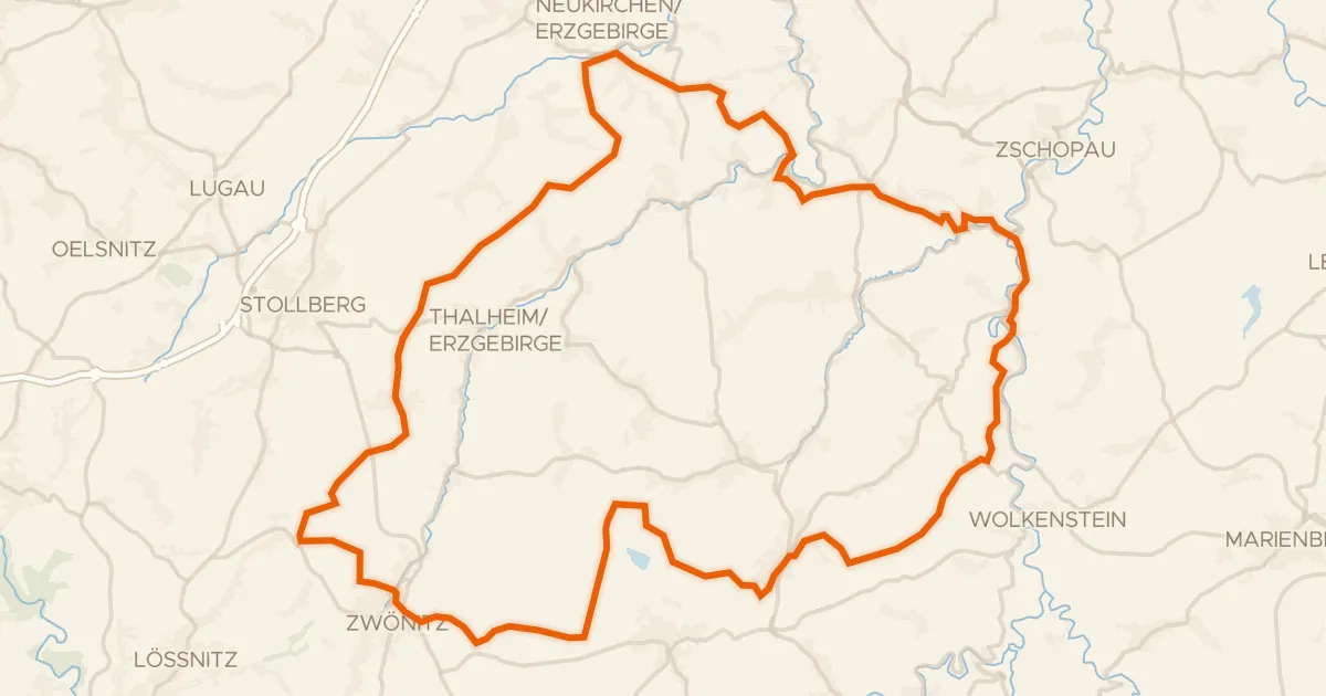
Gravel30% paved
Rondje Burg Scharfenstein en Wasserschloss Klaffenbach
79 km↑ 1,633 m25 km away
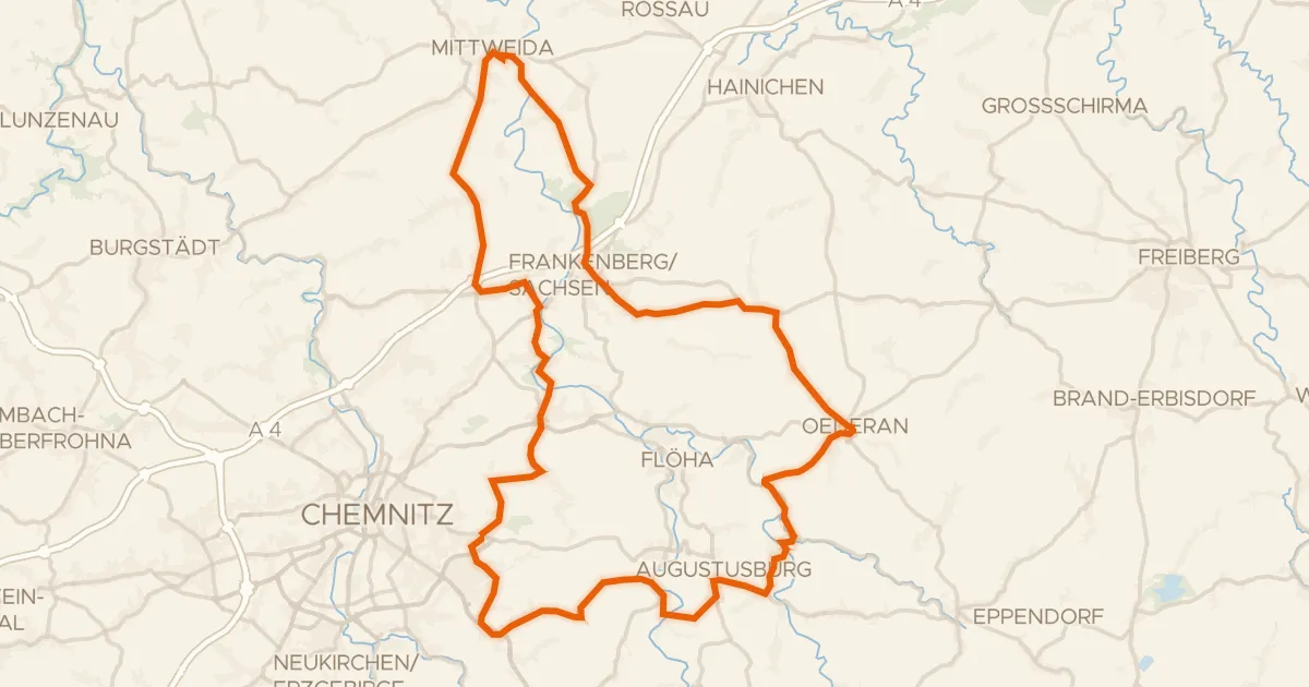
Road bike99% paved
Rondje langs de Zschopau en Schloss Lichtenwalde
81 km↑ 1,178 m26 km away