Back to the librarykm 1–2km 3–5km 6–7km 8–8km 11–11km 20–22km 25–27km 35–42km 44–46km 50–53km 55–61km 62–65
Road bikeMade by RouteCasterRound trip
Rondje Burg Kreuzen en Naarn
Distance
77 km
Ascent
1,798 m
Highest point
781 m
100% paved
Start from your location
Ride there from home: we find the shortest way to the loop and start the loop from there.
The ride
Roll out of Königswiesen and the road climbs into the Weinsberger Wald forest before dropping toward Burg Kreuzen castle. From there it's on past Badesee Rechberg lake and along the Naarn river, with 1798 m of climbing spread across the day. Every metre of the 76.8 km is paved, and the loop brings you back to where you started.
Climbs
Climb 1Hill
1 km at 7.7% · max 16.3%
Climb 2Cat. 4
2.7 km at 4.4% · max 12.4%
Climb 3Cat. 4
0.9 km at 9.1% · max 21.9%
Climb 4Hill
0.3 km at 11.4% · max 16.3%
Climb 5Hill
0.6 km at 5.1% · max 9.4%
Climb 6Cat. 4
2.1 km at 4.4% · max 19.2%
Climb 7Cat. 4
1.3 km at 6.9% · max 15.5%
Climb 8Cat. 2
7 km at 4.8% · max 16.7%
Climb 9Cat. 4
2.5 km at 4.3% · max 11.7%
Climb 10Cat. 4
2.6 km at 5.4% · max 16.6%
Climb 11Cat. 3
6 km at 3.5% · max 11.4%
Climb 12Cat. 4
2.5 km at 3.7% · max 6.7%
Routes nearby
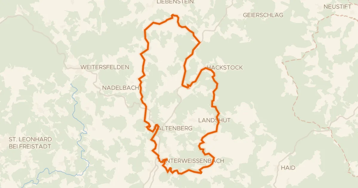
Road bike98% paved
Fernblick-Radroute Nr. 953
31 km↑ 862 m7 km away
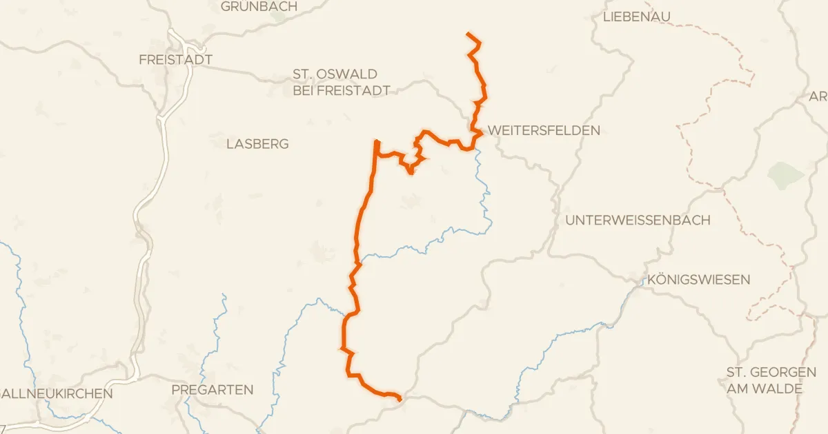
Road bike100% paved
Alm Aisttal Radroute
37 km↑ 1,020 m12 km away
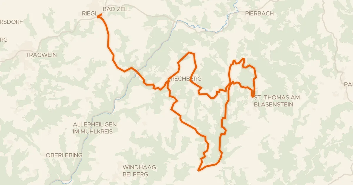
Road bike100% paved
Naturpark Mühlviertel Radweg (1)
31 km↑ 896 m14 km away

Road bike100% paved
Rondje Ruine Weinsberg en Badesee Waldhausen
75 km↑ 1,534 m14 km away

Gravel29% paved
Rondje Gutau en Schloss Tannbach
61 km↑ 1,757 m20 km away

Road bike100% paved
Rondje langs de Donau en de Aist
84 km↑ 964 m21 km away