Back to the librarykm 0–1km 8–10km 33–34km 42–43km 53–56
GravelMade by RouteCasterRound trip
Rondje Burg Hardegg en Schloss Ruegers
Distance
59 km
Ascent
750 m
Highest point
525 m
49% paved
Start from your location
Ride there from home: we find the shortest way to the loop and start the loop from there.
The ride
This 59.1 km loop sets off from Hardegg and heads out past Burg Hardegg, a castle that watches over the start. From there the route follows the Thaya / Dyje river before climbing its way to Schloss Ruegers, another castle along the way. With 750 m of elevation gain and a mix of paved and unpaved surface, the ride rolls through the countryside and brings you back to Hardegg.
Climbs
Climb 1Cat. 4
0.9 km at 11.9% · max 34.3%
Climb 2Cat. 4
2.4 km at 3.5% · max 8.2%
Climb 3Hill
1.5 km at 3.6% · max 8.8%
Climb 4Hill
0.7 km at 4.2% · max 8.9%
Climb 5Cat. 4
2.9 km at 4.7% · max 11.7%
Routes nearby

Road bike100% paved
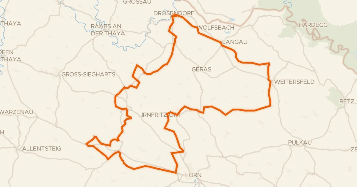
Langs de Thaya en Schloss Walkenstein
93 km↑ 1,035 m19 km away
Touring84% paved
Thaya-Taffa-Wild Rundradweg
118 km↑ 1,291 m19 km away

Road bike98% paved
Rondje langs Schloss Guntersdorf en Schloss Gatterburg
75 km↑ 507 m22 km away
Road bike98% paved
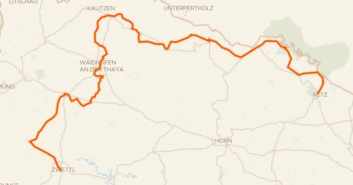
Thayatal Radweg
146 km↑ 2,146 m27 km away

Gravel28% paved
Langs de Mährische Thaya en Burgruine Kollmitz
60 km↑ 939 m27 km away
Touring92% paved
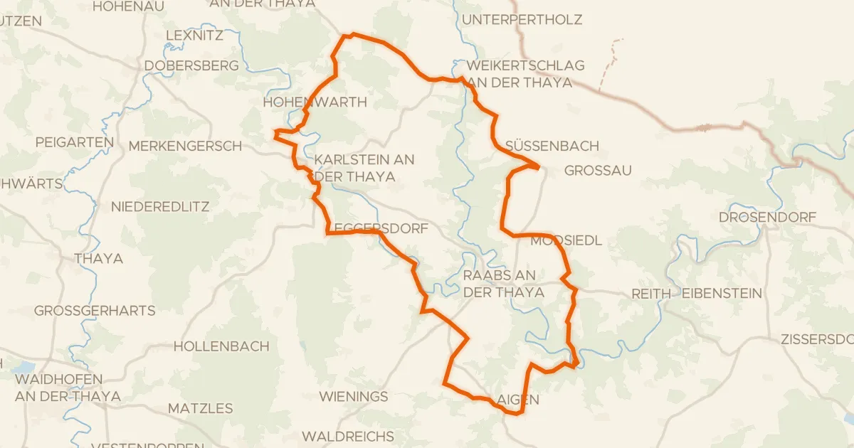
Ruinen Radroute
48 km↑ 823 m29 km away