Back to the librarykm 0–0km 1–2km 5–6km 18–19km 20–21km 22–25km 28–28km 30–31km 47–50km 52–53km 54–55km 58–59
GravelMade by RouteCasterRound trip
Langs de Mährische Thaya en Burgruine Kollmitz
Distance
60 km
Ascent
939 m
Highest point
544 m
28% paved
Start from your location
Ride there from home: we find the shortest way to the loop and start the loop from there.
The ride
Roll out of Karlstein an der Thaya and let the ride unfold: past Schloss Karlstein, then along the Thaya river to the Böhmische Mauer castle. Onward to the Burgruine Kollmitz, with the Mährische Thaya and Deutsche Thaya rivers rounding things off before you spin back to the start. Of the 60.2 km, most runs unpaved, and 939 m of climbing keeps the legs honest.
Climbs
Climb 1Hill
0.4 km at 10% · max 13.6%
Climb 2Hill
0.7 km at 5.2% · max 10.1%
Climb 3Hill
0.8 km at 8.3% · max 20.2%
Climb 4Hill
1.2 km at 3.4% · max 13%
Climb 5Hill
0.6 km at 6% · max 9.4%
Climb 6Cat. 4
2.9 km at 5% · max 34.5%
Climb 7Hill
0.7 km at 4.9% · max 14.9%
Climb 8Hill
0.8 km at 4.2% · max 7.6%
Climb 9Cat. 4
3 km at 3.1% · max 13.6%
Climb 10Hill
1 km at 3.9% · max 5.6%
Climb 11Hill
0.9 km at 3.1% · max 5.2%
Climb 12Hill
0.8 km at 5.3% · max 16.1%
Routes nearby
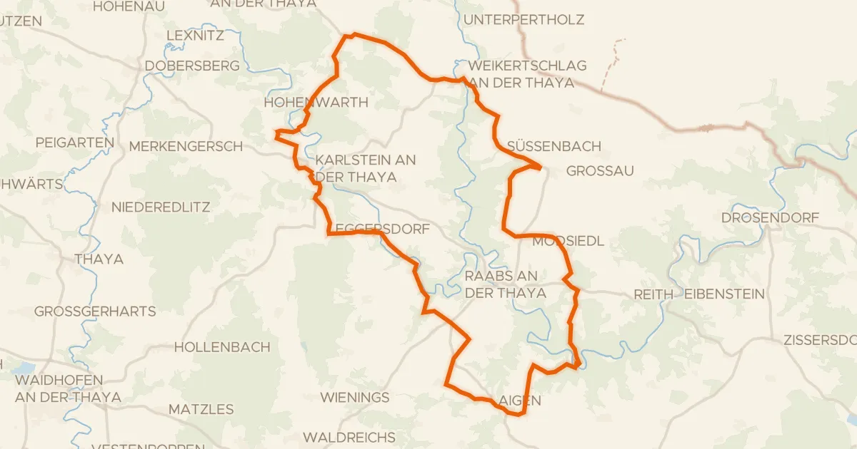
Touring92% paved
Ruinen Radroute
48 km↑ 823 m5 km away

Road bike100% paved
Langs Schloss Greillenstein en de Deutsche Thaya
76 km↑ 883 m15 km away
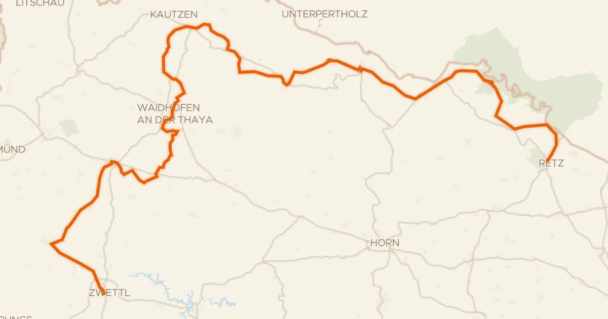
Road bike98% paved
Thayatal Radweg
146 km↑ 2,146 m16 km away

Road bike100% paved
Langs de Thaya en Schloss Walkenstein
93 km↑ 1,035 m20 km away
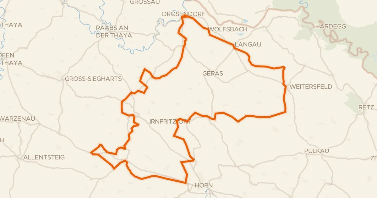
Touring84% paved
Thaya-Taffa-Wild Rundradweg
118 km↑ 1,291 m22 km away

Road bike99% paved
Rondje Schloss Litschau en CHKO Třeboňsko
75 km↑ 688 m23 km away