Back to the librarykm 2–3km 17–18km 64–67
Road bikeMade by RouteCasterRound trip
Langs Schloss Greillenstein en de Deutsche Thaya
Distance
76 km
Ascent
883 m
Highest point
666 m
100% paved
Start from your location
Ride there from home: we find the shortest way to the loop and start the loop from there.
The ride
From Groß-Siegharts the route rolls out past Schloss Greillenstein and Schloss Meires, castle after castle, before reaching the Deutsche Thaya river. Onward it passes Schloss Waidhofen an der Thaya and Schloss Vestenötting, then loops back to where it began. All 76.0 km is paved, with 883 m of climbing along the way.
Climbs
Climb 1Hill
1.3 km at 3.7% · max 7.7%
Climb 2Hill
1.5 km at 3.4% · max 10.3%
Climb 3Cat. 4
2.8 km at 3.5% · max 8.4%
Routes nearby
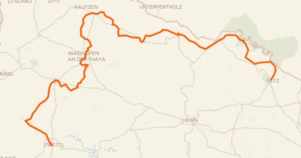
Road bike98% paved
Thayatal Radweg
146 km↑ 2,146 m9 km away
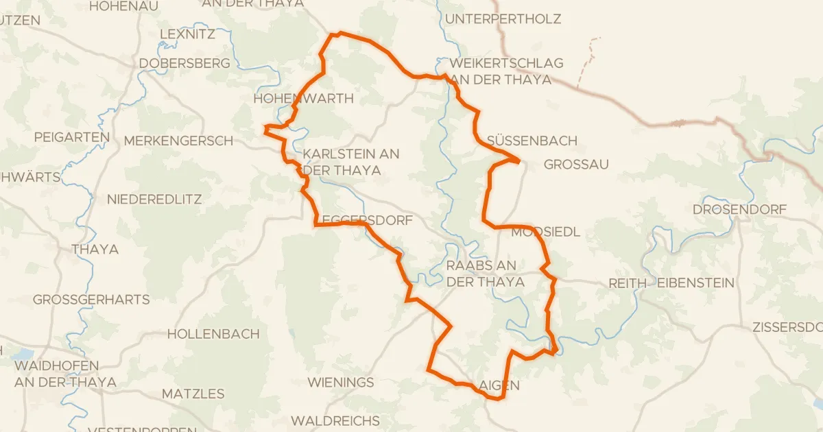
Touring92% paved
Ruinen Radroute
48 km↑ 823 m9 km away

Gravel28% paved
Langs de Mährische Thaya en Burgruine Kollmitz
60 km↑ 939 m11 km away

Road bike100% paved
Langs de Thaya en Schloss Walkenstein
93 km↑ 1,035 m17 km away
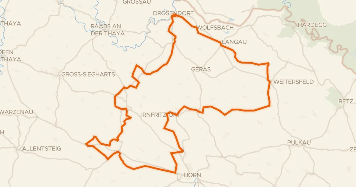
Touring84% paved
Thaya-Taffa-Wild Rundradweg
118 km↑ 1,291 m17 km away

Road bike99% paved
Rondje Schloss Litschau en CHKO Třeboňsko
75 km↑ 688 m23 km away