Back to the librarykm 9–11km 12–13km 14–16km 16–17
GravelMade by RouteCasterRound trip
Rondje Buchkogelwarte en Neufelder See
Distance
61 km
Ascent
589 m
Highest point
430 m
24% paved
Start from your location
Ride there from home: we find the shortest way to the loop and start the loop from there.
The ride
From Müllendorf you roll out on a route that keeps 76% of its surface unpaved, heading first for the Buchkogelwarte viewpoint before the road drops toward the Leitha river. A stop at the Neufelder See lake breaks up the ride nicely, and then it's back to where you started. With 589 m of climbing spread across the loop, the ups come gently enough to enjoy the changing scenery.
Climbs
Climb 1Cat. 3
1.9 km at 10.6% · max 17.2%
Climb 2Hill
0.8 km at 4.8% · max 8.2%
Climb 3Hill
1.3 km at 4% · max 8.3%
Climb 4Hill
0.6 km at 4.8% · max 7.1%
Routes nearby

Road bike98% paved
Rondje Wulka en Leitha
76 km↑ 662 m1 km away

Road bike100% paved
Rondje langs de Fischa en Leitha
74 km↑ 437 m9 km away

Road bike100% paved
Rondje langs de Leitha en de Wulka
75 km↑ 542 m14 km away
Touring90% paved
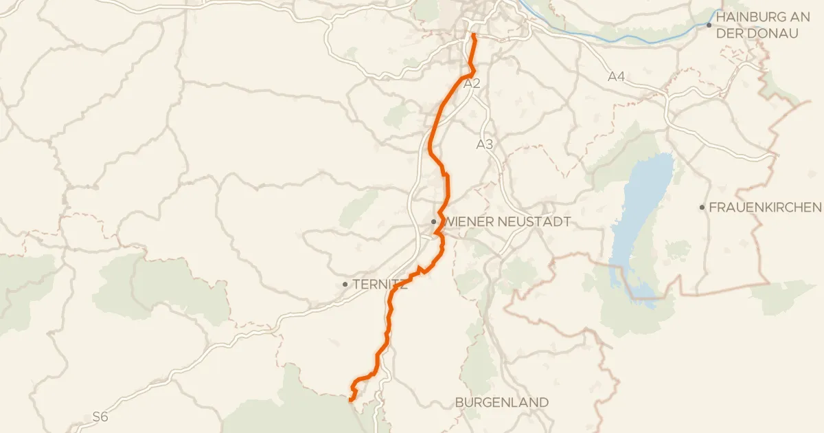
Thermenradweg
100 km↑ 342 m20 km away

Road bike100% paved
Rondje Schloss Vöslau en Schloss Laxenburg Blauer Hof
75 km↑ 190 m23 km away

Gravel30% paved
Rondje langs de Fischa en de Leitha
70 km↑ 310 m26 km away