Back to the librarykm 18 · Apr 2024 · © teddy73 / Mapillary, CC BY-SA km 28 · Jul 2024 · © teddy73 / Mapillary, CC BY-SA km 50 · Sep 2026 · © Felix23 / Mapillary, CC BY-SA km 73 · Apr 2025 · © teddy73 / Mapillary, CC BY-SA km 42–43km 45–46km 57–59km 63–67
Road bikeRouteCasterRound trip
Rondje Aussichtsturm Schmitshausen en NSG Kirkeler Bachtal
Distance
78 km
Ascent
769 m
Highest point
392 m
100% paved
Start from your location
Ride there from home: we find the shortest way to the loop and start the loop from there.
The ride
Roll out of Rieschweiler and into the Bliesgau biosphere reserve, then on through the Kirkeler Bachtal valley. Past the Taubental reserve the road climbs to the Aussichtsturm Schmitshausen viewpoint, before the Hausgiebel reserve and the run home. Of the 78.1 km, almost all is paved, with a touch of unpaved. It ends where it began, in Rieschweiler.
Along the way
Climbs
Climb 1Hill
1 km at 3.2% · max 4.5%
Climb 2Hill
0.8 km at 3.3% · max 5%
Climb 3Cat. 4
2.2 km at 5.3% · max 11%
Climb 4Cat. 4
3.9 km at 3.2% · max 21.6%
Routes nearby
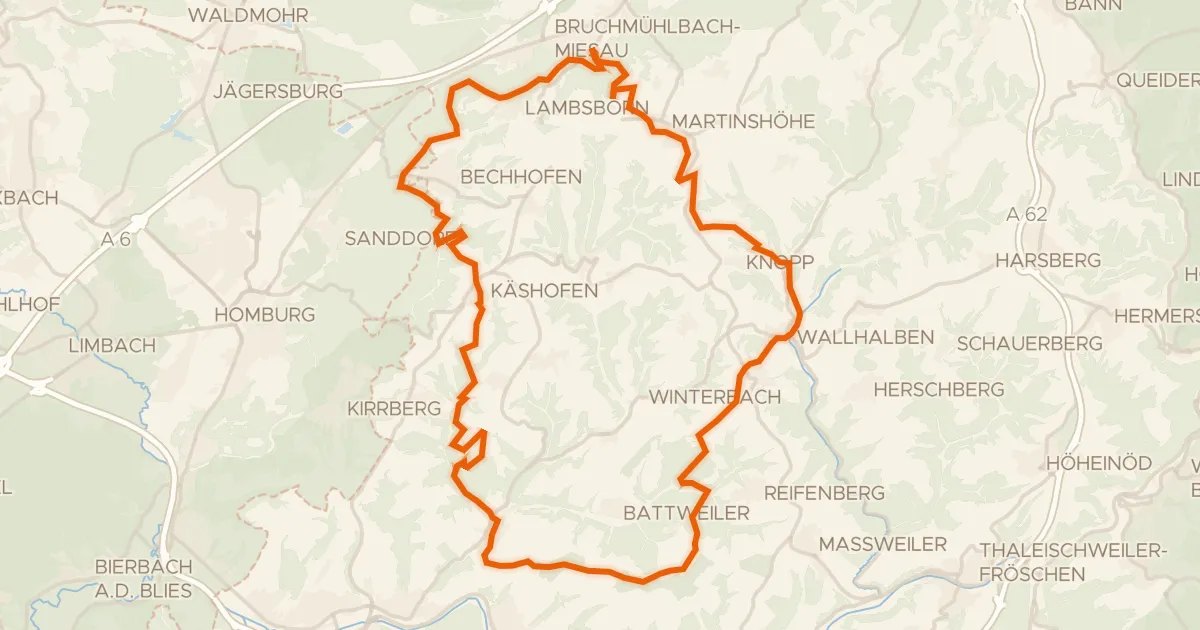
Gravel30% paved
Rondje Aussichtsturm Schmitshausen en Auf der Pottschütthöhe
57 km↑ 1,033 m9 km away
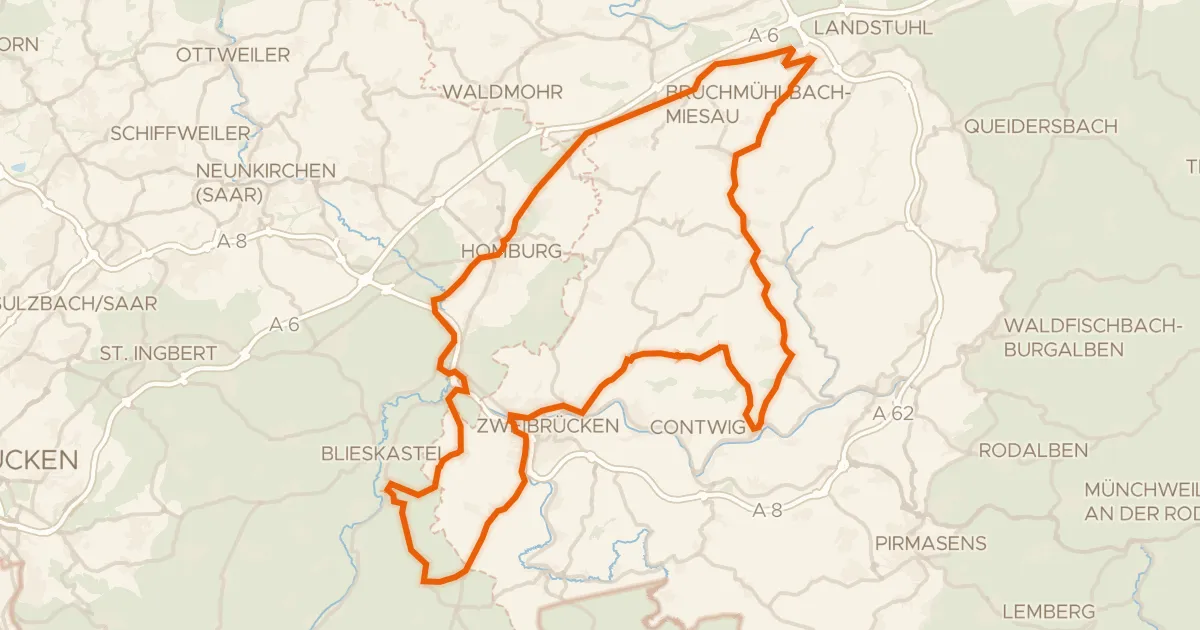
Road bike99% paved
Rondje Burgruine Hohenburg en Closenbruch
96 km↑ 977 m9 km away
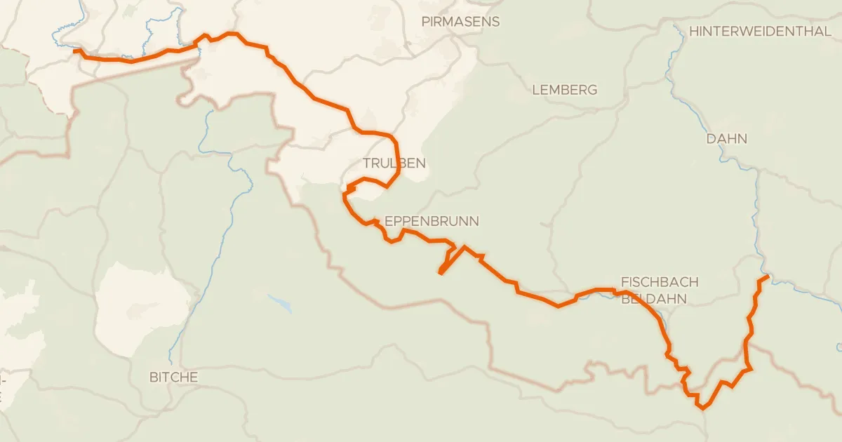
Touring93% paved
Hornbach-Fleckenstein Radweg
63 km↑ 979 m16 km away
Col du Litschhof · Col du Schaufelshald
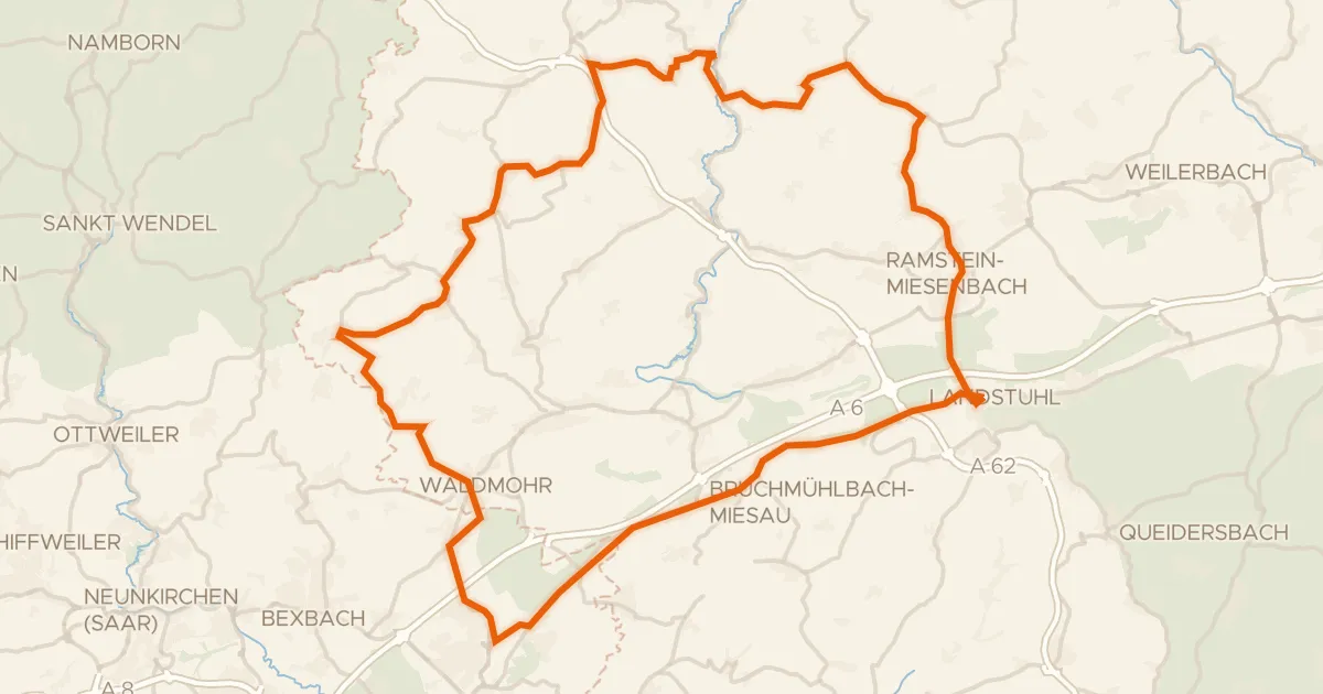
Road bike100% paved
Rondje Burg Nanstein en Schwarzbach
80 km↑ 968 m21 km away
Road bike100% paved
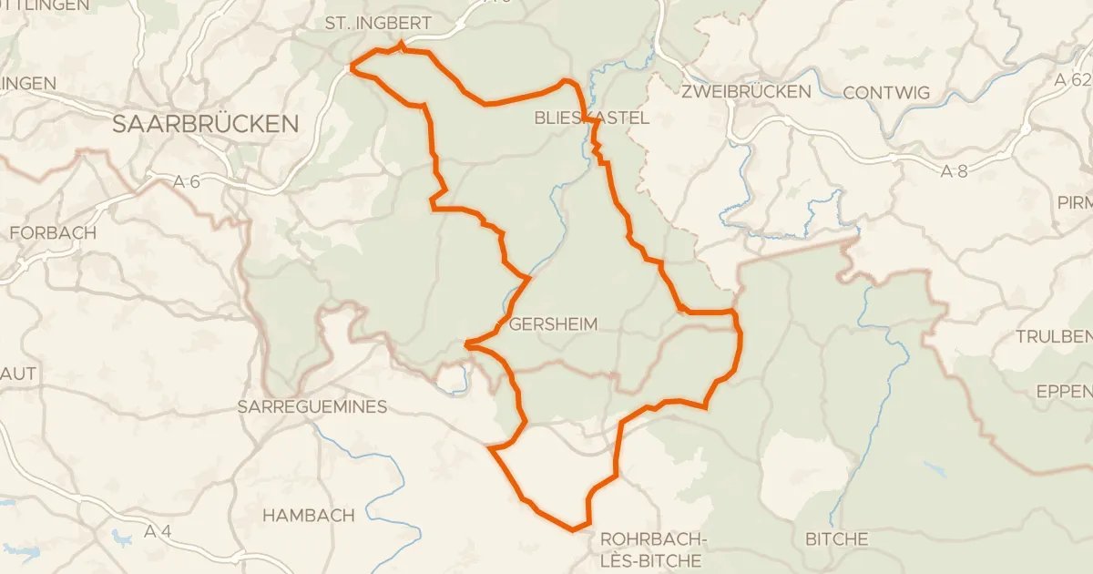
Langs Ouvrage de Rohrbach en NSG Schwalbaue
87 km↑ 1,062 m22 km away
Road bike99% paved
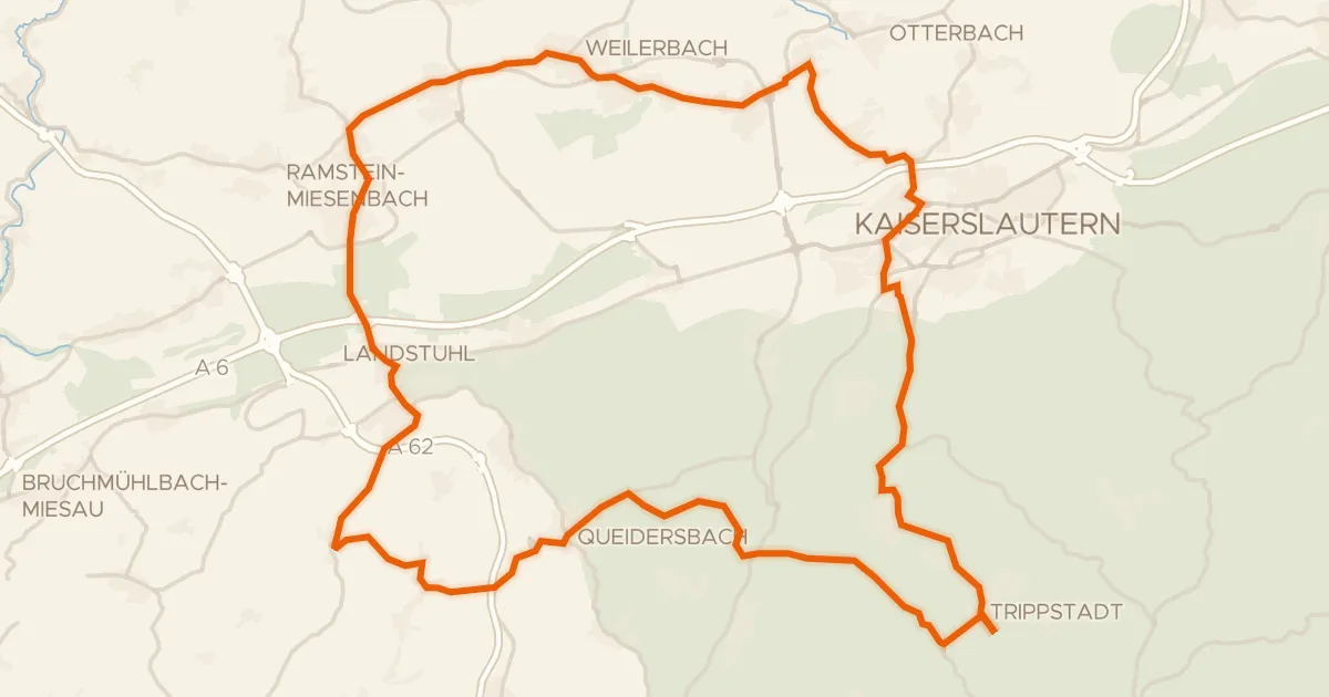
Rondje Burg Nanstein en Karlstalschlucht
69 km↑ 1,025 m22 km away